File consists of an original Forest Research Note published by the BC Forest Service Prince George Forest Region. This March 1999 note (#PG-16) is an article by Paul Sanborn, Marty Kranabetter, and Chuck Bulmer on "Soil Rehabilitation in the Prince George Forest Region: A review of two decades of research".
File contains a possible photocopied excerpt (pages 14-47) from "A Field Guide for the Identification and Interpretation of Ecosystems of the SBSj1 in the Prince George Forest Region", which was a 1987 unpublished BC Ministry of Forests report by C. DeLong, S. Jenvey and A. McLeod.
File contains an original "Prince George Land and Resource Management Plan" published by the Government of British Columbia.
File contains an original EP 433 report entitled "A Preliminary Working Plan for the Aleza Lake Experimental Forest" by L. DeGrace of the BC Forest Service.
File contains an original copy of a BC Forest Service publication entitled "The Development of the Spruce-Balsam Type in the Aleza Lake Experimental Forest" by A.R. Fraser and J.L. Alexander.
Large-format map depicts the Monkman Public Sustained Yield Unit (PSYU) east of Prince George.
Forest cover map showing a crossing area of the McGregor River is annotated with a road and ferry crossing.
Series consists of photographs created or accumulated by the Aleza Lake Research Forest Society.
Slide depicts a man operating heavy equipment in a forest, likely at the Aleza Lake Experiment Station.
Slide depicts a sawmill in operation, likely located in the Upper Fraser area, with a pile of burning wood products and a beehive burner.
Slide depicts a bulldozer clearing ground, likely at the Aleza Lake Experiment Station.
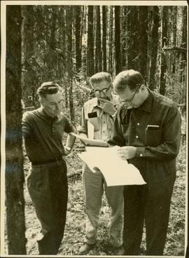
Item is a photograph of Mr. Williston, Chief Forester John Stokes and Tom Wright of Canadian Forest Products examining an area near Prince George in order to determine the timber area required for a Pulp Harvesting License for a proposed pulp mill that would depend completely on waste wood.
Collection consists of 30 audio cassettes containing 46 interviews conducted primarily by radio & TV broadcaster Bob Harkins with local personalities. Most recordings were conducted at CJCI Studios, Prince George. The station was launched in 1970 by Central Interior Radio, broadcasting on 620 AM. In 1983, Central Interior also launched CIBC-FM in the city. Central Interior Radio was acquired by the Vista Broadcast Group in 2005.
Sin títuloItem consists of transcript of interview with Bruce Douglas conducted by Bob Harkins at Prince George Radio Station, CJCI regarding his career in early railways in Prince George region and memories of the sawmills in Giscome area..
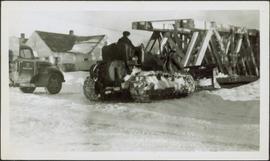
Sin títuloPhotograph depicts man believed to be Bob Baxter on bulldozer by large framework structure in snow. House stands in background as well as a truck with "CITY OF PRINCE GEORGE" visible on its passenger door. Handwritten annotation on recto of photograph: "Civic centre 1948."
This Prize List, which was published by the Prince George Agricultural and Industrial Association incorporated with Prince George Horticultural Society, outlines the August 1943 Fall Fair rules and regulations, the prizes to be awarded; as well as a list of prize donors.
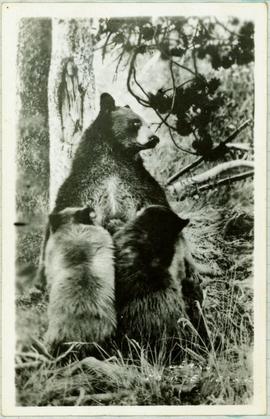
Handwritten caption below this photo reads: "Bought in Picture Prince George". Photograph depicts a mother grizzly bear standing on her hind legs against tree, so that her facial profile is visible. Two cubs stand on hind legs facing and leaning against her.
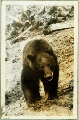
Handwritten caption below this photo reads: "Bought in Picture Prince George". Photograph depicts a grizzly bear walking on all fours in forest area, slash debris in background.
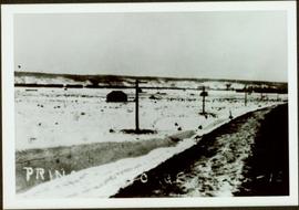
Railroad track, utility poles, field, small building and background hills are visible in image.
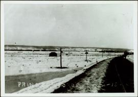
Unidentified man can be seen walking on railroad tracks on far right. Utility poles, field, small building and background hills are visible in image.
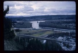
Image depicts a view of the Fraser-Nechako confluence from the Prince George cutbanks.
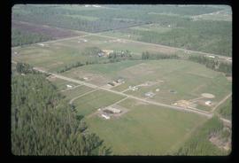
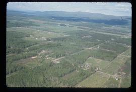
Image depicts a clearing in Prince George, B.C., possibly in the Pineview area.
Image depicts a clearing in Prince George, B.C.
Image depicts Tabor Mountain from the airport in Prince George, B.C.
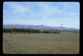
Image depicts natural meadows, possibly east of Prince Georg, B.C.
Image depicts a view of Prince George from Gunn Point in the L.C. Gunn Park looking north. Map coordinates 53°54'26.2"N 122°43'35.8"W.
Image depicts a view of Prince George from Gunn Point in the L.C. Gunn Park looking north. Map coordinates 53°54'26.2"N 122°43'35.8"W.
Image depicts a view of Prince George from Gunn Point in the L.C. Gunn Park looking north. Map coordinates 53°54'26.2"N 122°43'35.8"W.
Image depicts a view of Prince George from Gunn Point in the L.C. Gunn Park looking north. Map coordinates 53°54'26.2"N 122°43'35.8"W.
Image depicts a view of Prince George from Gunn Point in the L.C. Gunn Park looking north. Map coordinates 53°54'26.2"N 122°43'35.8"W.
Image depicts a view of Prince George, from Gunn Point in the L.C. Gunn Park.
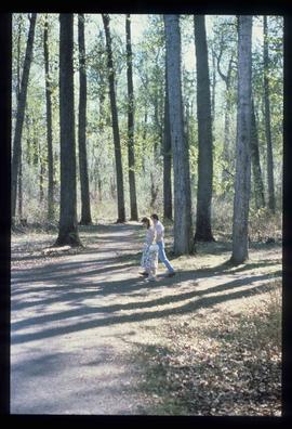
Image depicts a couple walking through a nature trail in Cottonwood Island Park. Map coordinates 53°55'23.6"N 122°43'53.8"W
Image depicts an aerial view of Fort George Park.
Image depicts the cutbanks on the other side of the Nechako, taken from the nature trail at Island Cache. Map coordinates 53°55'34.6"N 122°45'52.4"W
Image depicts the Northwood pulpmill in Prince George B.C.
Image depicts a view of Blackburn Schools, possibly taken from Tabor Mountain.
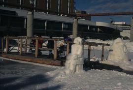
Image depicts two snow sculptures near a wooden bridge on an ice rink, possibly during the Winter City Conference, in Prince George, B.C. Taken at the Prince George Civic Center. Map coordinates 53°54'45.6"N 122°44'59.6"W
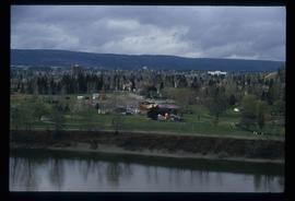
Image depicts downtown Prince George taken from across the Nechako River looking south. Map coordinates 53°56'00.0"N 122°44'29.7"W
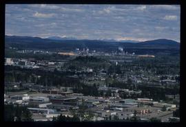
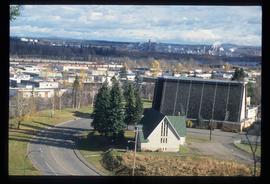
Image depicts Prince George from University Way, with the P.G.I. Pulp Mill in the distance.
File contains slides depicting the grade for what was formerly the Pacific Great Eastern, and is now known as British Columbia Railway.
Image depicts a bridge in Prince George, B.C.
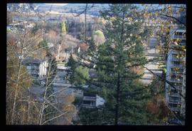
Image depicts Prince George with numerous trees obscuring most of the view.
Image depicts Prince George.
Image depicts the Fraser River at Paddlewheel park, with a train on the other side of the river, in Prince George B.C.
Image depicts a view of Prince George.
Image depicts the Ginter House and the surrounding woods, in Prince George, B.C.
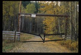
Image depicts a private driveway, most likely leading to the Ginter Property in Prince George, B.C.
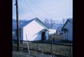
Image depicts a number of small houses at Island Cache.
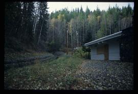
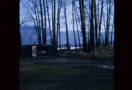
Image depicts a stand of trees and a shed at Island Cache.


