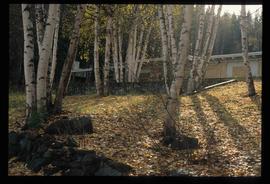
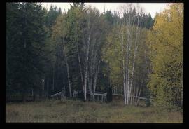
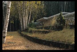
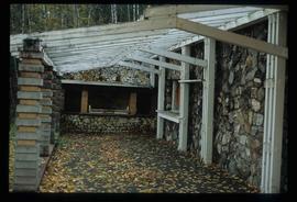
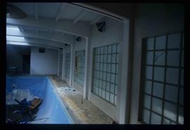
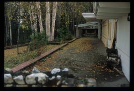
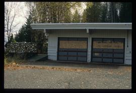
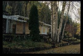
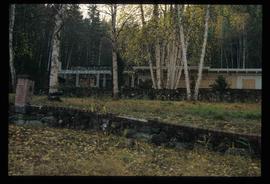
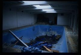
Image depicts a trailer park by either the Fraser or Nechako River in Prince George, B.C.
Image depicts the intersection of 15th Ave and Highway 97 in Prince George, B.C.
Image depicts an aerial view of downtown Prince George, B.C.
Image depicts an aerial view of the BC Rail, in Prince George, B.C. It is now known as CN Rail.
Image depicts the Aquatic Centre in Prince George, B.C.
Image depicts the Prince George Civic Centre.
Image depicts Glenview Drive near the Hart Highway in Prince George, B.C.
Image depicts an aerial view of Pine Centre Mall and Masich Place Stadium in Prince George, B.C.
Image depicts a the Danson Industrial Park in Prince George, B.C.
Image depicts the power lines in the Hixon area south of Prince Georg, B.C.
Image depicts the Prince George Multiplex.
Image depicts a Lakewood view of Spruceland in Prince George, B.C.
Image depicts College Heights, particularly along Gladstone Drive, in Prince George, B.C.
Image depicts Prince George, with the picture looking North-Northeast from University Way.
Image depicts Prince George from University Way, with the P.G.I pulp mill in the distance.
Image depicts Prince George from University Way, with the P.G.I. Pulp Mill in the distance.
Image depicts a sawmill in the Danson Industrial Park in Prince George, B.C.
Image depicts the Ramada Hotel in Prince George, B.C.
Image depicts Prince George from University Way, with the P.G.I. Pulp Mill in the distance.
Image depicts the Carter Industrial Area in Prince George, B.C.
Image depicts a log house located somewhere on Kerry Street in Prince George, B.C.
Image depicts two trains in Prince George, B.C.
Image depicts two mills; the Intercontinental Pulp Mill is on the right in the foreground, and the Prince George Pulp and Paper Mill is on the left in the background. The picture is taken from the South, possibly off Yellowhead Bridge in Prince George, B.C.
Image depicts the Two Rivers Art Gallery in Prince George, B.C.
Image depicts the Seymour Subdivision in Prince George, B.C.
Image depicts the Nechako Subdivision in Prince George, B.C.
Image depicts downtown Prince George, B.C.
Image depicts the Courthouse in Prince George, B.C.
Image depicts the Ramada Hotel in Prince George, B.C.
Image depicts two mills; the Intercontinental Pulpmill is on the left side of the tracks in the image and the Prince George Pulp and Paper Mill is located on the right side in Prince George, B.C. The Northwood Pulp Mill can be seen in the distance.
Image depicts a road near the Ginter House in Prince George, B.C.
Image depicts the Ginter House in Prince George, B.C.
Image depicts a road near the Ginter House in Prince George, B.C.
Image depicts the Ginter House in Prince George, B.C.
Image depicts a private driveway, most likely leading to the Ginter Property in Prince George, B.C.
Image depicts a Prince George residential area from the viewpoint of the Ginter Property.
Image depicts the Ginter Property in Prince George, B.C.
Image depicts what appears to be a part of a fence on the Ginter Property in Prince George, B.C.
Image depicts the interior of the Ginter House in Prince George, B.C.
Image depicts the Ginter House in Prince George, B.C.
Image depicts the interior of the Ginter House in Prince George, B.C.
Image depicts the Ginter House in Prince George, B.C.
Image depicts a swimming pool filled with debris in the interior of the Ginter House in Prince George, B.C.