Mostrar 352 resultados
Archival description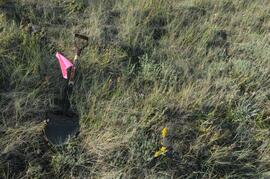
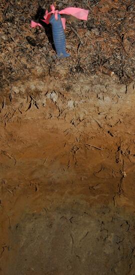
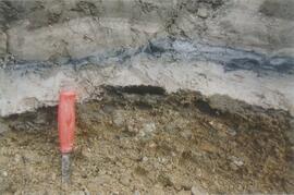
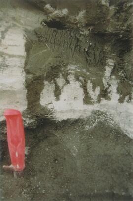
Y09-27-02 G5 surface
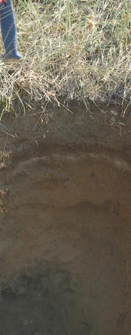
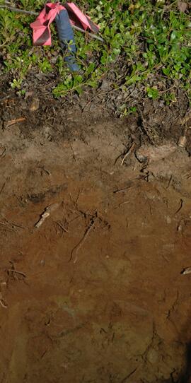
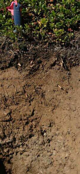
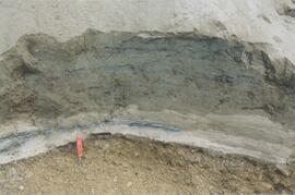
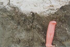
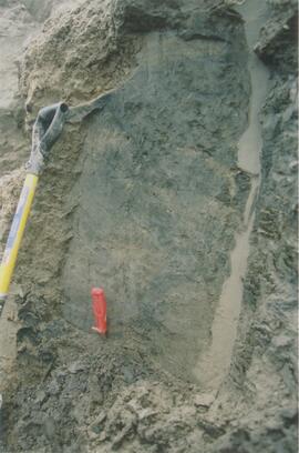
Y09-27-02 profile
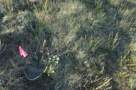
Y09-27-03 G10 surface
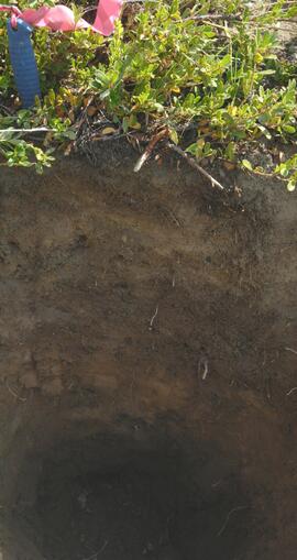
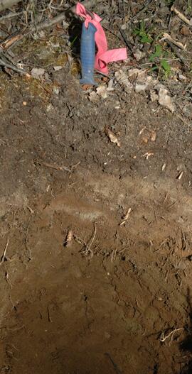
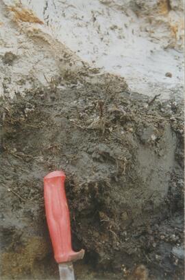
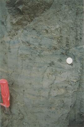
Y09-27-04 profile
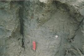
Y09-27-06 profile
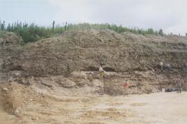
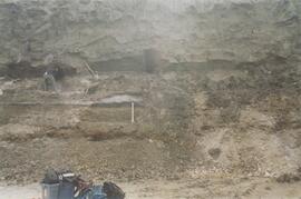
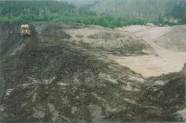
Y09-27-09 F15 site view
Y09-27-10 profile
Y09-28-04 G30 surface
Y09-28-06 profile
Y09-28-08 profile
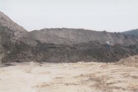
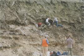
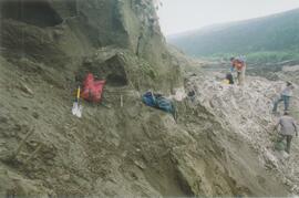
Gold Bottom south wall (2)
Site Y04-02 detail (2)
Site Y04-03 (2)
Site Y04-04 detail (3)
Site Y04-04 detail (5)
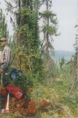
Grant Zazula at Goldbottom (1)
Grant Zazula at Goldbottom (1)
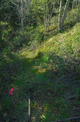
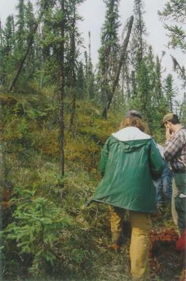
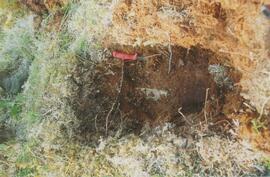
Gold Bottom transect - north aspect lower slope (1)
Gold Bottom transect - north aspect lower slope (3)
World Aeronautical Chart: Iskut River
World Aeronautical Chart: Iskut River

Carcross - Bennett Lake

Miles Canyon? - A River

Miles Canyon? - Trees

Miles Canyon - the Schwatka

Miles Canyon - Robert Lowe Bridge

The Tutshi

The Caribou Hotel
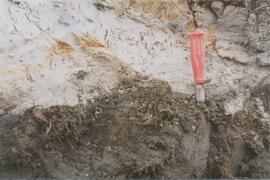
Gold Bottom east wall (1)
Gold Bottom east wall (3)
Site Y04-01 (1)
Site Y04-01 (3)
Site Y04-02 (3)
Site Y04-02 detail (4)
Site Y04-02 detail (7)
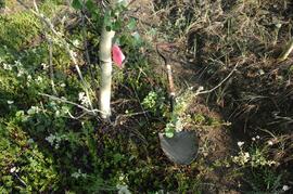
Gold Bottom upper pit (3)
Site Y04-03 (1)
Site Y04-03 (5)
Site Y04-03 (6)
Site Y04-04 detail (4)
Site Y04-04 (1)
Gold Bottom transect - north aspect lower slope (2)
Gold Bottom transect - north aspect lower slope (4)

Wounded Moose geochemistry paleosol data for Yukon Paleosol Study
Yukon Paleosol Study topographical NTS map scans
Yukon Paleosol Study topographical NTS map scans
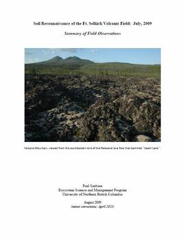
"Soil Reconnaissance of the Ft. Selkirk Volcanic Field: July, 2009 - Summary of Field Observations"

Pelly River and Yukon River confluence

Middle Pleistocene basalt cliffs west of Camp 2
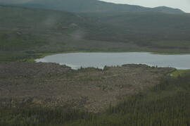
Leech Lake, south of Volcano Mountain
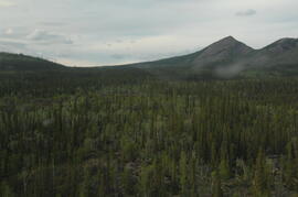
South flank of Volcano Mountain
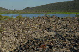
Basalt flow north of Volcano Mountain
Basalt flow north of Volcano Mountain
Holocene basalt flows near Camp 3