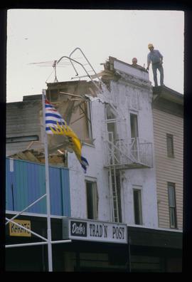
2012.13.1.7.167
·
Item
·
12 Oct. 1989
Part of J. Kent Sedgwick fonds
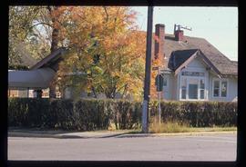
Image depicts a house on the corner of 7th Ave and Vancouver Street in Prince George, B.C.