The item is a photograph depicting an NT Air hanger in Prince George.
The item is a photograph depicting a white farmhouse off the Cariboo Highway.
The item is a 35 mm slide photograph depicting a white farmhouse off the Cariboo Highway.
The item is a 35 mm slide photograph depicting an NT Air airport hanger in Prince George.
The item is a 35 mm photograph depicting a farmhouse on the Cariboo Highway.
The item is a 35 mm photograph depicting a stucco duplex on the Cariboo Highway.
The item is a photograph that depicts the backside of a beige house at 321 North Moffat Street.
The item is a photograph depicting a blue coloured house in the Millar Addition at 1570 Elm Street, Prince George. The house was previously used for veteran housing. Annotations on reverse side of picture state, "Millar Addition vet housing 1948."
The item is a photograph depicting the front of the house located at 2540 Hazelton Street, Prince George. The house has white siding and has multiple units. Annotation on the reverse side of the photograph states, "2540 Hazelton."
The item is a photograph depicting the side entrance of the house located at 2542 Hazelton Street, Prince George. The stucco house has multiple units.
The item is a photograph depicting the rear side of the Prince George Snowmobile Club. The building was originally Buckhorn school. The building is wooden with a metal roof. Sign on the door reads, "Alarmed."
The item is a photograph depicting an old, rundown stable and fenced corral at Salmon Valley Ranch. The structure is wooden with a sheet metal roof.
The item is a photograph depicting a stable stall at Salmon Valley Ranch. The stall is storing hay bales.
The item is a photograph depicting a stable stalls at Salmon Valley Ranch.
The photograph depicts Mark Gabriel Stadium, a baseball stadium in Prince George. The photo was taken in 2005.
The item is a photograph depicting a residential duplex house off the Cariboo Highway. It is one of three buildings that were relocated for the airport in 1957.
The item is a photograph depicting a residential duplex house off the Cariboo Highway.
The item is a photograph depicting a farmhouse on Zilkie Road, Prince George.
The item is a photograph depicting a workshop in the rural Prince George area.
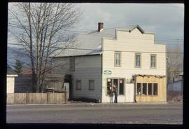
The item is a 35 mm slide photograph depicting the Pineview General Store at 9820 Old Cariboo Highway. Photograph taken in 2005.
The item is a 35 mm photograph depicting a farmhouse on Zilkie Road, Prince George.
The item is a 35 mm photograph depicting a stucco duplex on the Cariboo Highway.
The item is a photograph depicting the side of the Prince George Snowmobile Club. The building was originally Buckhorn school. The building is wooden with a metal roof. Sign on the door reads, "New Members Welcome."
The item is a photograph depicting an old, rundown stable at Salmon Valley Ranch. The structure is wooden with a sheet metal roof.
The item is a photograph depicting an old, out of use stable at Salmon Valley Ranch. The structure is wooden with a sheet metal roof.
The item is a photograph depicting the back of a four-level stucco house in South Fort George. Various appliances are being kept by the house. The house is likely located in the Hazelton Street area, Prince George.
The item is a photograph depicting the front and side of the house located at 2542 Hazelton Street, Prince George. The stucco house has three levels and multiple units.
The item is a photograph depicting a residential duplex house off the Cariboo Highway.
The item is a 35 mm slide photograph depicting a residential duplex house off the Cariboo Highway. It is one of three buildings that were relocated for the airport in 1957.
The item is a 35 mm photograph depicting a workshop in the rural Prince George area.
The item is a 35 mm photograph depicting a stucco duplex on the Cariboo Highway.
The item is a photograph depicting the front and side of the Prince George Snowmobile Club. The building was originally Buckhorn school. The building is wooden with a metal roof.
The item is a photograph depicting an old, out of use stable at Salmon Valley Ranch. The structure is wooden with a sheet metal roof.
The item is a photograph depicting a stable stall at Salmon Valley Ranch. The stall is gated and is storing hay bales.
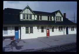
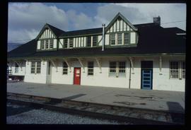
Image depicts the CN Station in McBride, B.C.
Image depicts the CN Station in McBride, B.C.
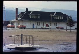
Image depicts the rear-end of the CN Station in McBride, B.C.
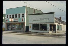
Image depicts an abandoned building on the corner of a street in McBride, B.C.
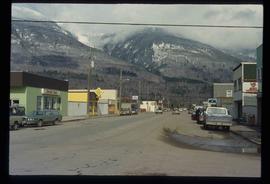
Image depicts a street in McBride, B.C.
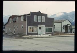
Image depicts an old house somewhere in McBride, B.C.
Image depicts a machine shop somewhere in McBride, B.C. The sign above the door reads "McBride Air Cooled Engine Services Ltd."
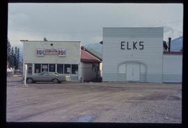
Image depicts the Elks Hall in McBride, B.C.
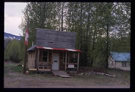
Image depicts the post office in Penny, B.C.
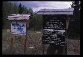
Image depicts two signs for hiking trails in Penny, B.C. One reads: "Hiking trail to Red Mt. Lake (Grizzly Bear Mt.) expect to meet wild animals."
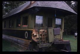
Image depicts a house made from a rail car in an uncertain location. It could be in Hixon, Red Rock, or Woodpecker, B.C.
The item is a photograph that depicts three veteran houses on Burden Street. Houses include beige siding, beige stucco and a white siding house.
The item is a photograph depicting the front exterior side of Central Fort George School prior to demolition in 2004. The windows are boarded up.
The item is a photograph depicting the front exterior side of Central Fort George School prior to demolition in 2004. The windows are boarded up.
The item is a photograph that depicts the back of veteran housing at 510 Douglas Street. House is on the south east corner. Beige stucco house with brown roof.
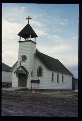
Image depicts a church somewhere in McBride, B.C. The sign in front possibly reads "St. Patrick's Church."
