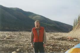
This file contains the following photographs in both print photograph and negative format:
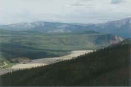
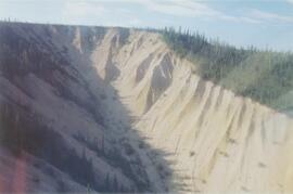
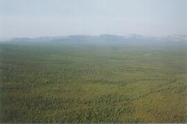
Cultus Bay Rd.
(landscape views looking W from road; lake is likely at ~61°4’ 10.5”N, 138°22’ 31.5”)
Print roll 12, #0A-2A
Corresponding slides: Slide roll 7, #23-22
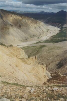
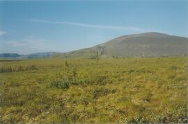
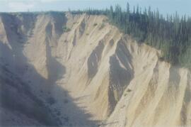
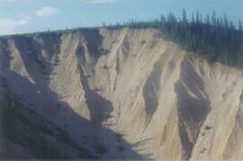
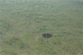
Keyhole Pond (landscape views)
Print roll 12, #3A-4A
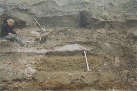
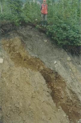
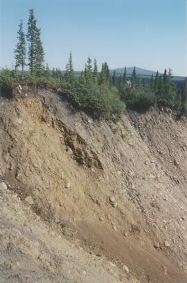
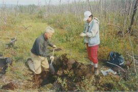
Y04-23 (Saddle W of Keyhole Pond)
Date: July 22, 2004
Location Coordinates: 61º 4’ 46.5” N, 138º 22’ 32.2’ W, 828 m asl (± 8.0 m)
Site Description: 7º, NW-facing slope. Cumulic profile in colluviated loess with White River tephra at 10 cm, brownish paleosol at 23-27 cm, glaciofluvial sand at 50 cm.
Sample Depths & Descriptions: Y04-23-01 – charcoal at 23-27 cm, immediately above paleosol
Print roll 12, #5A-6A
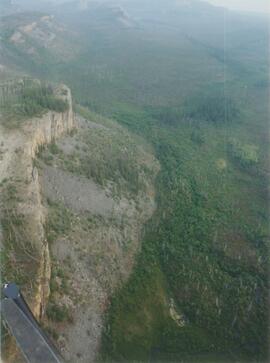
(Location not recorded: Print roll 12, #7A-8A)
Y04-24 (W side of Rat Lake)
Date: July 22, 2004
Location Coordinates: 61º 9’ 54.6” N, 138º 25’ 41.6” W, 807.7 m asl (± 13.5 m)
Site Description: 23° slope, NE aspect; cumulic profile with White R ash at 20 cm; no obvious charcoal bands.
Print roll 12, #9A-10A (9A print is missing)
"Ian's Lake"(W of NW corner of Rat Lake)
Location Coordinates: 61º 10’ 1.4” N, 138º 25’ 47.7” W, 773.4 m asl (± 9.8 m) (coordinates are for ridge crest on NE side of lake)
Site Description: basal date 700 BP in terrestrial sediments; NE side has grassy 30°slope
Print roll 12, #11A
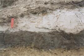
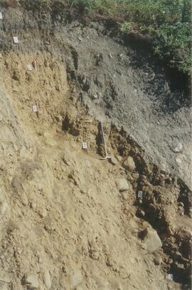
Y04-25 (S shore of “Ian’s Lake”, NW of Rat Lake)
Date: July 22, 2004
Location Coordinates: 61º 10’ 0.7” N, 138º 25’ 49.2” W, 781.8 m asl (± 8.8 m)
Site Description: 35 cm of colluviated loess over gravelly sandy glaciofluvial; no visible charcoal bands; buried soil at 25-35 cm; White R ash at 6-8 cm.
Print roll 12, #12A-13A
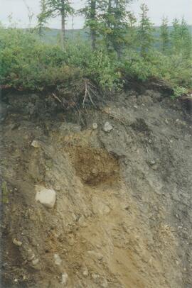
Y04-26 (EW)
Date: July 23, 2004
Location Coordinates: 61º 1’ 59.8” N, 138º 21’ 53.6” W, 836.1 m asl (± 7.7 m)
Site Description: grassland at crest of 33° terrace scarp, S aspect.
Sample Depths & Descriptions: Y04-26-01 – 0-10 cm
Print roll 12, #14A-15A
Corresponding slides: Slide roll 7, #21-20
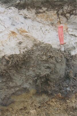
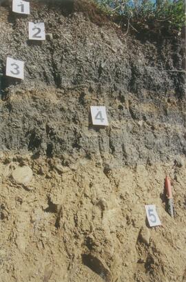
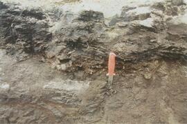
Y04-27
Date: July 23, 2004
Location Coordinates: 61º 2’ 0.9” N, 138º 21’ 53.6” W, 843.6 m asl (± 5.8 m) (~ 35 m N of Y04-26)
Site Description: spruce forest on terrace surface; level.
- 0-8 cm - Loess-rich forest floor; strongly calcareous.
- 8-13 cm - Bmk
- 13-15 cm - Discontinuous pockets of White R ash
- 15-35 cm - Bmk (Slims soil) – no charcoal visible
- 35-75 cm - Gray calcareous loess.
- 75 cm+ - Gravelly sandy glaciofluvial deposit.
Print roll 12, #16A-17A
Corresponding slides: Slide roll 7, #19-18
Y04-28 (EW)
Date: July 23, 2004
Location Coordinates: 61º 2’ 34.4” N, 138º 21’ 57.0” W, 820.2 m asl (± 6.1 m)
Site Description: grassland on esker crest W of Jenny L; 30° slope, SW aspect
Sample Depths & Descriptions: Y04-28-01: 0-10 cm
Print roll 12, #18A-19A
Corresponding slides: Slide roll 7, #17-16
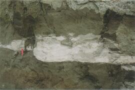
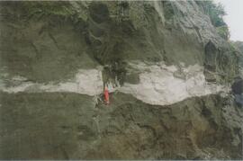
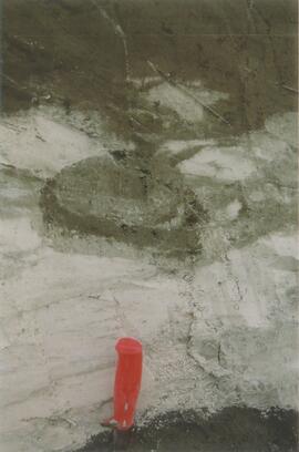
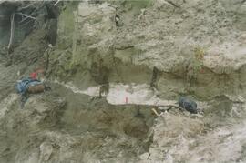
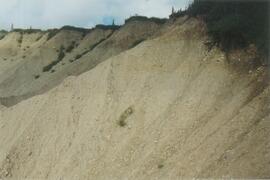
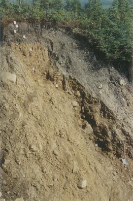
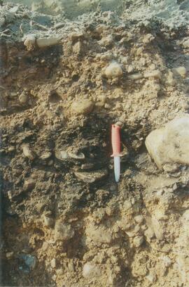
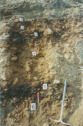
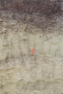
Y04-30 (between eskers, W of Jenny Lake)
Date: July 23, 2004
Location Coordinates: 61º 2’ 31.6” N, 138º 21’ 52.3’ W, 817.6 m asl (± 6.1 m)
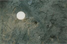
Site Description: Level (base of saddle). Colluviated loess to 90 cm+, with White River tephra at 15-17 cm, brownish paleosol at 17-35 cm, underlain by turbated Bmku with multiple charcoal-rich bands.
Sample Depths & Descriptions:
- Y04-30-01 – charcoal at 13 cm (above WR tephra)
- Y04-30-02 – charcoal at 22 cm (below WR tephra)
- Y04-30-03 – charcoal at 75 cm
Print roll 12, #20A-22A
Corresponding slides: Slide roll 7, #15-13
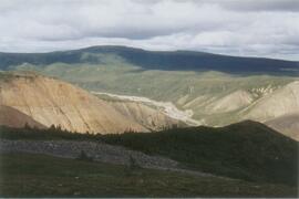
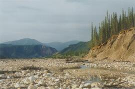
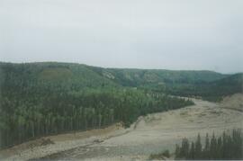
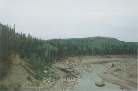
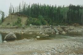
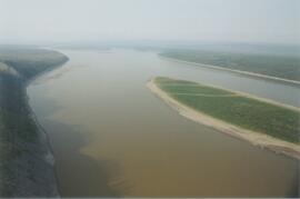
Jenny Lake (landscape views)
Print roll 12, #23A-24A