Mostrar 718 resultados
Archival description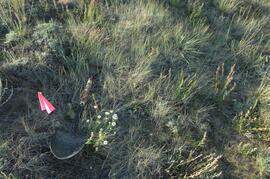
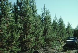
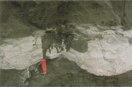
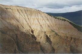
Y09-27-03 G10 surface
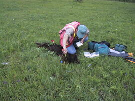
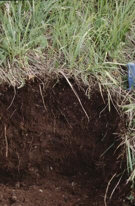
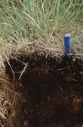
Y09-27-04 profile
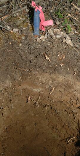
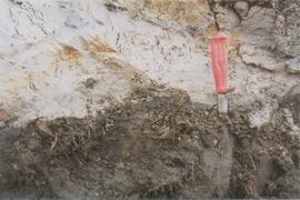
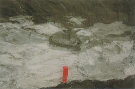
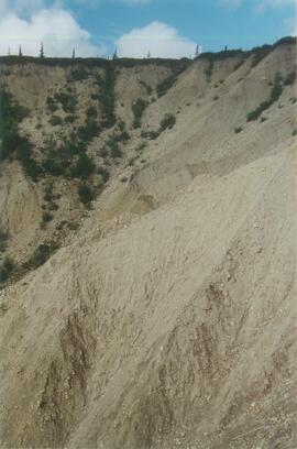
Y09-27-06 profile
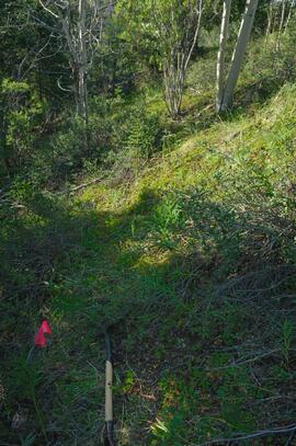
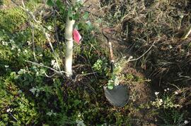
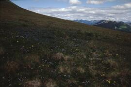
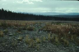
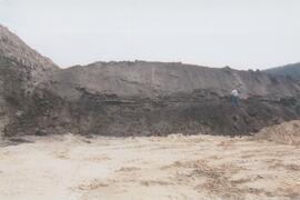
Y09-27-09 F15 site view
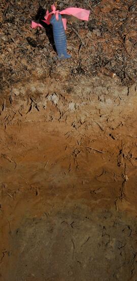
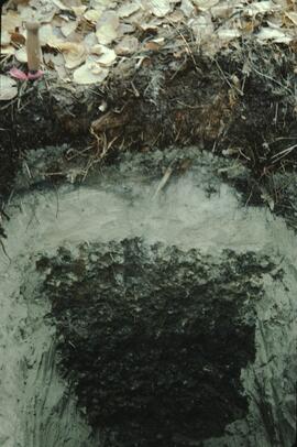
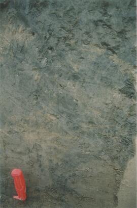
Y09-27-10 profile
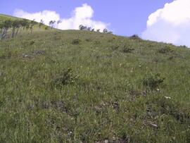
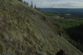
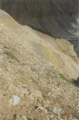
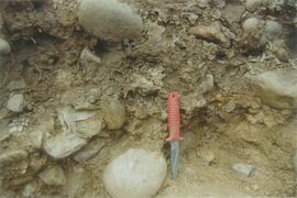
Y09-28-04 G30 surface
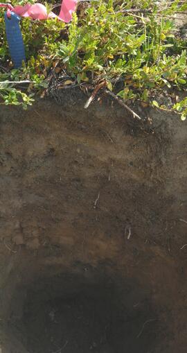
Y09-28-06 profile
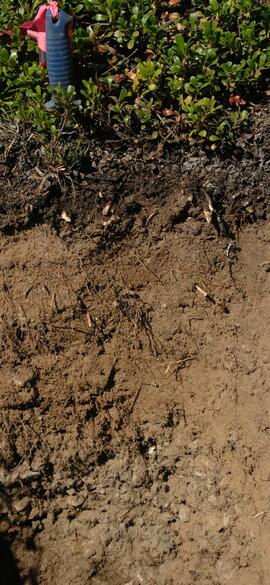
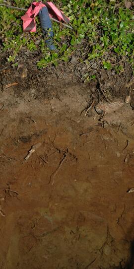
Y09-28-08 profile
Hammet 1
Hammet 2
Nevis 1
Nevis 2
Nevis 4
Hammett 1 site
Nevis 1 profile
Nevis 3 profile
Nevis 4 profile
Nevis 6 site
Tahltan River from Telegraph Creek Road, near Stikine River confluence
Tahltan River from Telegraph Creek Road, near Stikine River confluence
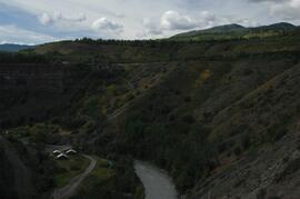
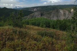
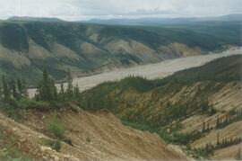
Stikine River, facing upstream ~8 km northeast of Telegraph Creek
Stikine River, facing upstream ~8 km northeast of Telegraph Creek

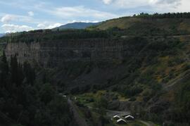
Buildings in Telegraph Creek
Stikine River, facing upstream ~8 km northeast of the Tuya River confluence
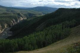
Stikine River, facing downstream ~8 km northeast of the Tuya River confluence
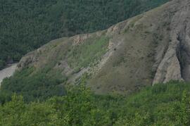
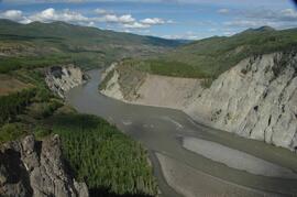
Tuya River, facing downstream ~10 km above the Stikine River confluence
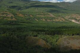
Tuya River, aspen patches ~10 km above the Stikine River confluence
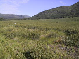
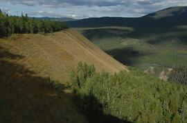
Tuya River, grasslands ~10 km above the Stikine River confluence
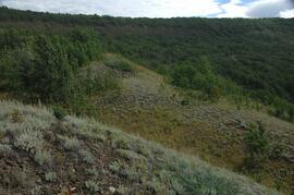
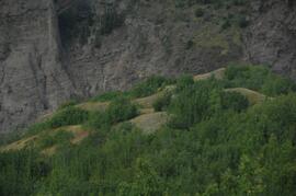
Tuya River, Artemisia in south facing grasslands
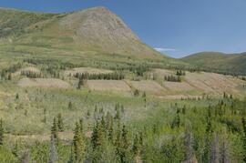
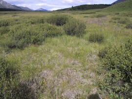
Grasslands on north side of Cultus Creek
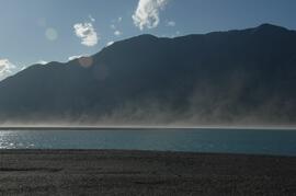
Dust storm over Slims River delta
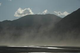
Dust storm over Slims River, upstream of Alaska Highway
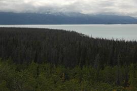
Beetle-killed spruce forest, southeast side of Kluane Lake
South facing grasslands, ~1 km on Mt Nansen Road
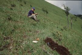
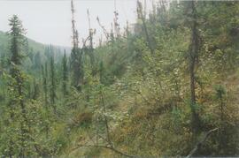
Lucille Mountain site view
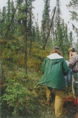
Topley site view
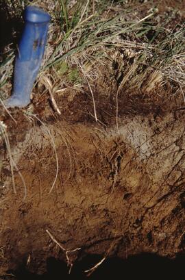
Kiskatinaw soil profile view
Bowron site view
Gold Bottom south wall (2)
Site Y04-02 detail (2)
Site Y04-03 (2)
Site Y04-04 detail (3)
Site Y04-04 detail (5)
Gold Bottom transect - north aspect lower slope (1)
Gold Bottom transect - north aspect lower slope (3)
Little Bear River (3)
Little Bear River (9)
Inlin Brook panorama (1)
Site N04-04 overview (1)
Site N04-02 (4)