2012.13.1.84.19
·
Item
·
1994
Part of J. Kent Sedgwick fonds
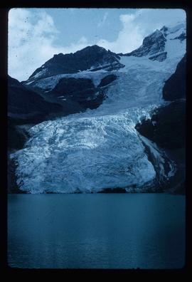
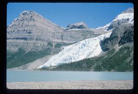
Image depicts the Bear Glacier with a cave-like opening.