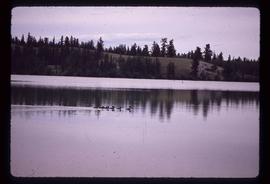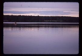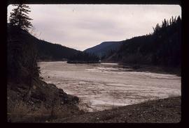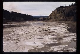
2012.13.1.50.021
·
Pièce
·
1975
Fait partie de J. Kent Sedgwick fonds
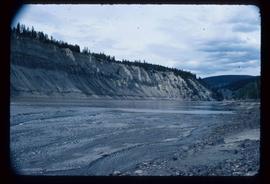
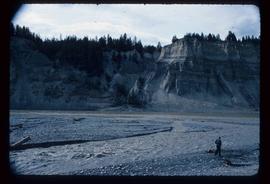
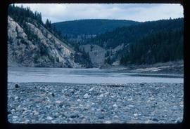
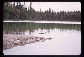
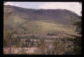
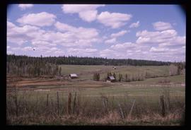
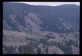
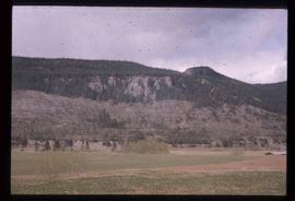
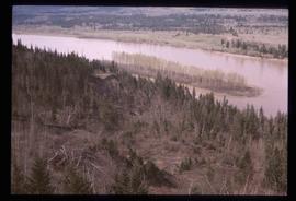
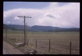
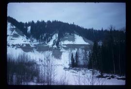
Image depicts a view of the scenery near Hixon, B.C.