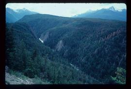
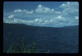
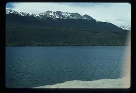
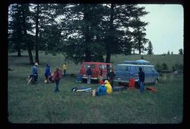
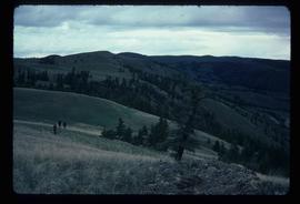
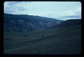
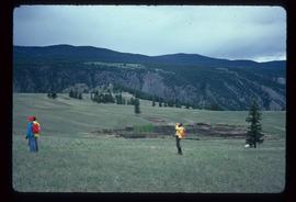
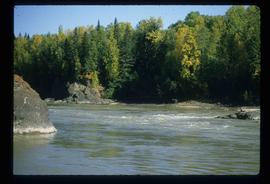
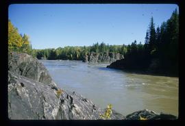
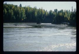
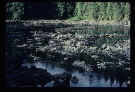
Image depicts a shallow river running over and through the Tseax lava flow.
File contains slides depicting locations in and around Bralorne, B.C.
Image depicts the Terzaghi Dam on the Bridge River, looking from the upstream (reservoir) side located near Bralorne, B.C. The water is Carpenter Lake.
Image depicts an elevated view of a lake and a road located somewhere near Bralorne, B.C.
Image depicts a dirt road leading through a forest.
Image depicts a river running through a valley-like area somewhere near Bralorne, B.C.
Image depicts a river full of logs, somewhere near Bralorne, B.C.
Image depicts the Bridge River No. 1 hydroelectric station on the shore of Seton Lake (rear side of powerhouse).
Image depicts the Lajoie Dam on the Bridge River, upstream side, showing part of Downton Lake and, in the foreground, the spillway intake.
Image depicts a view of the land surrounding Bralorne, B.C.
Image depicts a man holding a chain of fish on the shore of Carp Lake.
Image depicts a low rain cloud over Carp Lake.
Image depicts Carp Lake at dusk.
Image depicts a boat launch with several people nearby; it is possibly at War Lake in Carp Lake Provincial Park.
Image depicts a lake with a mountain in the distance, viewed "west from lodge;" it is possibly Takla Lake.
Image depicts a lake, viewed "west from lodge;" it is possibly Takla Lake.
Image depicts two cabins on the shore near the lodge at Takla Lake.
Image depicts the "north-west arm" of Takla lake.
Image depicts a west-looking view of Trembleur Lake.
Image depicts the BCR station in Leo Creek, B.C.
Image depicts Takla Lake west of Leo Creek.
Image depicts the government houses located at the Takla Landing.
File contains slides depicting images of and around Divide Lake.
Image depicts an aerial view of a forest somewhere in the area of Divide Lake.
Image depicts a view of the Herrick River in what is possibly McGregor Canyon; the slide is simply labelled "McG Canyon."
Image depicts the North end of Portage Lake.
Image depicts a group of people and two vans, apparently preparing to set out on a hike somewhere near Riske Creek, B.C.
Image depicts a group of hikers listening to a man, possibly a guide, speak. The location is possibly near Riske Creek, B.C.
Image depicts a view of the scenery, with three hikers in the bottom left corner of the image.
Image depicts a view of the landscape of the Chilcotin Wildlife Area.
Image depicts what is possibly the Chilcotin River.
Image depicts a hiker with a camera taking pictures.
Image depicts what is possibly the Chilcotin River.
Image depicts a bridge in Prince George, B.C.
Image depicts a view of Prince George from an uncertain location.
Image depicts the Lheidli T'enneh Burial Grounds in Fort George Park.
Image depicts a view of Prince George.
Image depicts the Kenney Dam near Cheslatta, B.C.
Image depicts the Cheslatta River.
Image depicts the Cheslatta Falls.
Image depicts what appears to be a tour group at Cheslatta.
Image depicts the Cheslatta Falls.
Image depicts a fence in the Blackwater River area in the Chilcotin.
Image depicts a fence somewhere in Anahim Lake, B.C.
Image depicts the Fraser River in Fort George Canyon Provincial Park, B.C.