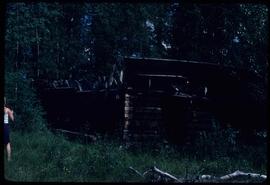
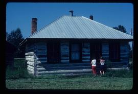
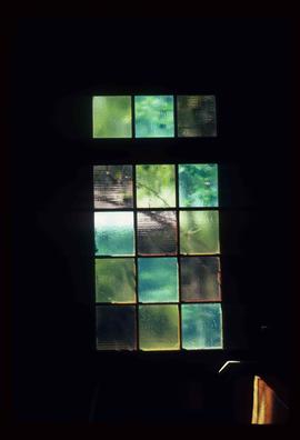
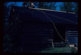
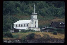
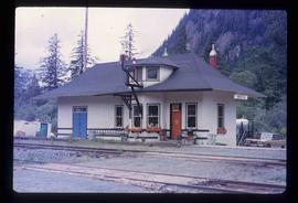
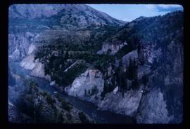
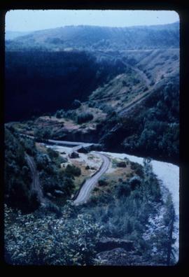
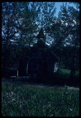
Image depicts a church in Woodpecker, B.C.
Image depicts the Bachelor's Hall in Woodpecker, B.C.
Image depicts the Hixon School.
Image depicts a stained glass window from the interior of an Anglican Church in Woodpecker, B.C.
Image depicts a log cabin, with a few unknown individuals working on the roof, in Woodpecker, B.C.
Image depicts an old, rundown building in Dunster, B.C. Possibly a disused Rail Station.
Image depicts the Harrison House in Kersley, B.C.
Image depicts an old, rundown building at an uncertain location.
Image depicts an Anglican church in Old Aiyansh.
Image depicts the Kwinitsa CNR station in Kwinitsa, along the Skeena River.
Image depicts the Kwinitsa CNR station, which is Prince Rupert's railway museum.
Image depicts a log house at an uncertain location.
Image depicts an old theatre owned by Paul Aivazoff in Prince Rupert, B.C. It opened in 1935 and was closed in 1981; it has since been renovated for retail use.
Image depicts a bee-hive burner beside a rail-road track at an unidentified mill somewhere in Prince George, B.C.
Image depicts the Columbus Hotel in Prince George, which was destroyed by a fire in 2008.
Image depicts the Canadian Forces Recruiting Centre on the north side of 3rd Ave in Prince George, B.C.
Image depicts Wells, B.C.
Image depicts many houses somewhere in Wells, B.C.
Image depicts a row of houses somewhere in Wells, B.C.
Image depicts a street in Wells, B.C. The Wells Hotel is present in the image.
Image depicts the Wells Museum in Wells, B.C.
Image depicts the grade for the British Columbia Railway, which was formerly known as the Pacific Great Eastern until 1972. It is located somewhere near the Woodpecker Ranch in Woodpecker, B.C.
Image depicts the grade for the British Columbia Railway, which was formerly known as the Pacific Great Eastern until 1972. It is located somewhere near the Woodpecker Ranch in Woodpecker, B.C. There are two unknown individuals present in the image.
Image depicts a clearing through the woods, possibly an abandoned grade for the BCR. It is possibly located on Iron Road South, near Woodpecker B.C.
Image depicts Iron Road North, and a creek surrounded by trees. Located north of Woodpecker, B.C.
Image depicts a forest, possibly somewhere near Woodpecker, B.C.
Image depicts a dog in a forest, possibly somewhere near Woodpecker, B.C.
Image depicts a tree line in Woodpecker, B.C.
Image depicts a view south, possibly of an abandoned grade for the BCR; possibly somewhere near Woodpecker, B.C.
Image depicts a north view of a road somewhere in Woodpecker, B.C.
Image depicts the Telegraph Creek.
Image depicts a cliff face near Telegraph Creek.
Image depicts the Telegraph Creek.
Image depicts a number of trailer homes in Tumbler Ridge, B.C.
Image depicts a row of houses in Tumbler Ridge, B.C.
Image depicts a road somewhere in Tumbler Ridge, B.C. There are three bush planes in the image.
Image depicts a view of the scenery in Tumbler Ridge, B.C.
Image depicts an aerial view of a "glaciated valley" in South Tweedsmuir Provincial Park. Glacier Mountain is present in the image.
Image depicts an aerial view of South Tweedsmuir Provincial Park. The lake is possibly Lonesome Lake.
Image depicts an aerial view of a chain of lakes in South Tweedsmuir Provincial Park.
Image depicts a lake in South Tweedsmuir Provincial Park.
Image depicts an unidentified man standing on a wood bridge somewhere in South Tweedsmuir Provincial Park.
Image depicts a lake in South Tweedsmuir Provincial Park. There is an unknown individual present in a canoe with the camera-man.
Image depicts a man in a canoe on a river somewhere in South Tweedsmuir Provincial Park. The man is possibly Kent Sedgwick.
Image depicts a waterfall somewhere in South Tweedsmuir Provincial Park.
Image depicts an unknown individual in the J. Edwards Camp in South Tweedsmuir Provincial Park.