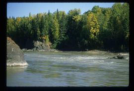
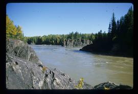
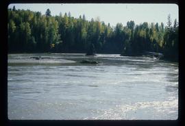
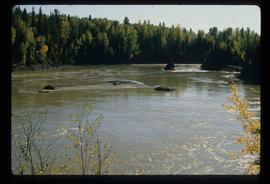
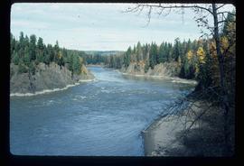
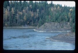
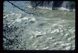
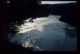
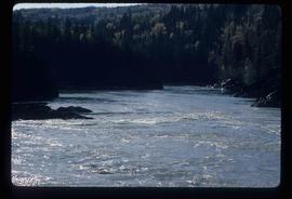
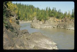
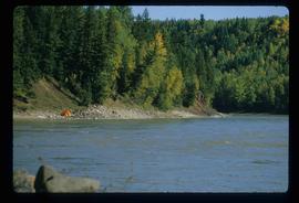
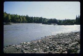
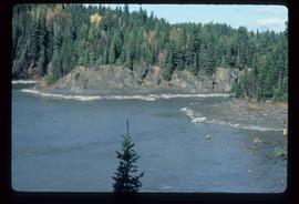
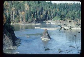
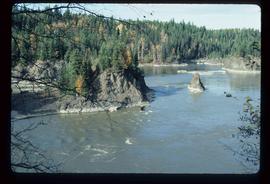
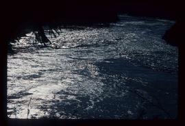
Image depicts the Fraser River in Fort George Canyon Provincial Park, B.C.
Image depicts the Fraser River in Fort George Canyon Provincial Park, B.C.
Image depicts the Fraser River in Fort George Canyon Provincial Park, B.C.
Image depicts the Fraser River in Fort George Canyon Provincial Park, B.C.
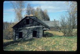
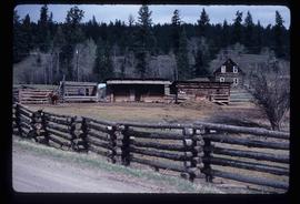
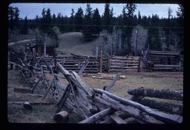
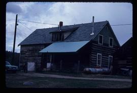
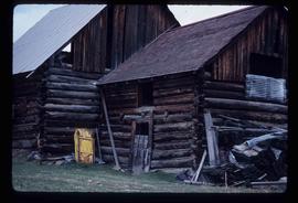
Image depicts an old barn and a collapsing cabin somewhere in the Fort George Canyon Provincial Park, B.C.
Image depicts the Fraser River in Fort George Canyon Provincial Park, B.C.
Image depicts the Fraser River in Fort George Canyon Provincial Park, B.C.
Image depicts the Fraser River in Fort George Canyon Provincial Park, B.C.
Image depicts the Fraser River in Fort George Canyon Provincial Park, B.C.
Image depicts the Fraser River in Fort George Canyon Provincial Park, B.C.
Image depicts a barnyard of cattle and chicken on a farm or ranch in Meldrum Creek, B.C.
Image depicts fenced-in cattle on a farm or ranch in Meldrum Creek, B.C.
Image depicts a ranch house in Meldrum Creek, B.C.
Image depicts an old, collapsing shack in Meldrum Creek, B.C.
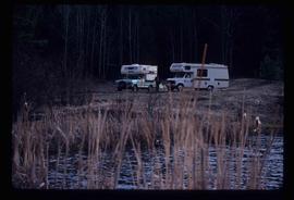
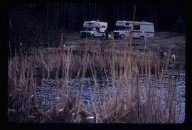
Image depicts two campers at an uncertain location, possibly somewhere near Meldrum Creek, B.C.
Image depicts two campers at an uncertain location, possibly somewhere near Meldrum Creek, B.C.
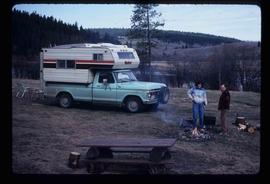
Image depicts a camper and a man and woman at an uncertain location, possibly somewhere near Meldrum Creek, B.C. The woman in the image is Sue Sedgwick.
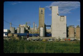
Image depicts what appears to be a saw mill belonging to Northwood. The location is uncertain.
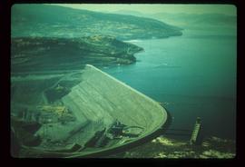
Image depicts the W.A.C. Bennett Dam on the Peace River in Hudson's Hope, B.C.
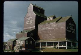
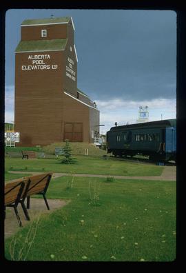
Image depicts a large building which is labelled "Alberta Pool Elevators Ltd. Dawson Creek," located in Dawson Creek, B.C.
Image depicts a large building which is labelled "Alberta Pool Elevators Ltd. Dawson Creek," located in Dawson Creek, B.C.
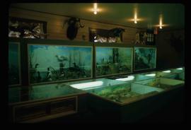
Image depicts stuffed wildlife exhibits inside the Station Museum in Dawson Creek, B.C.
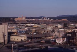
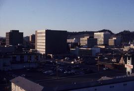
Image depicts a view of Prince George from City Hall looking northeast with the pulp mills in the background. Map coordinates 53°54'46.3"N 122°44'41.9"W
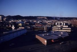
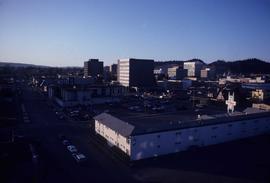
Image depicts downtown Prince George taken from City Hall looking north. Map coordinates 53°54'46.2"N 122°44'43.9"W
Image depicts downtown Prince George taken from City Hall looking northwest. Map coordinates 53°54'46.2"N 122°44'43.9"W
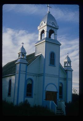
Image depicts a Catholic church at an unknown location.
File consists of notes, clippings, and reproductions relating to Indigenous Peoples of what is now known as the central interior British Columbia. Includes material on Carrier Sekani First Nations whose traditional territory includes north central British Columbia and includes the Ts'il Kaz Koh First Nation, Nadleh Whut'en, Saik'uz First Nation, Stellat'en First Nation, Takla Lake First Nation, and Wet'suwet'en First Nations; and Dakelh, the Carrier First Nations language. Includes: various clipped articles from the Prince George Citizen newspaper and "Carrier-Sekani Tribal Council" pamphlet prepared by the Carrier-Sekani Tribal Council. File also contains photographs depicting a grassy field with flowers and a graveyard (2003).
File consists of notes, clippings, and reproductions relating to the Skeena, Nass, and Omineca regions of British Columbia. Includes "Kitwanga Fort National Historic Site" pamphlet published by the Minister of the Environment Minister of Supply and Services Canada (1984).
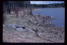
Image depicts the rocky shore of an unidentified body of water, possibly near Meldrum Creek, B.C.
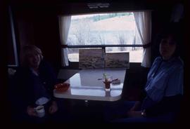
Image depicts two women at a table; the one on the right is possibly Sue Sedgwick. The image may have been taken in Meldrum Creek, B.C.
Image depicts the Fraser River in Fort George Canyon Provincial Park, B.C.
Image depicts the Fraser River in Fort George Canyon Provincial Park, B.C.
Image depicts the Fraser River in Fort George Canyon Provincial Park, B.C.
Image depicts the Fraser River in Fort George Canyon Provincial Park, B.C.
Image depicts the Fraser River in Fort George Canyon Provincial Park, B.C.
Image depicts the Fraser River in Fort George Canyon Provincial Park, B.C.
Image depicts the Fraser River in Fort George Canyon Provincial Park, B.C.
The item is a photograph depicting the front of the church at Indian Reserve No. 2 in Shelley.
The item is a photograph slide depicting a stained-glass window from the church at Indian Reserve No. 2 in Shelley. The window depicts a saint with their hands on their breast.
The item is a photograph slide depicting a stained-glass window from the church at Indian Reserve No. 2 in Shelley. The window depicts a saint holding keys and a scroll.
The item is a photograph slide depicting a stained-glass window from the church at Indian Reserve No. 2 in Shelley. The window depicts a saint holding a shepherd's staff and a lamb.
The item is a photograph slide depicting a stained-glass window from the church at Indian Reserve No. 2 in Shelley. The window depicts a saint holding an olive branch and a lamb.
The item is a photograph slide depicting a stained-glass window from the church at Indian Reserve No. 2 in Shelley. The window depicts a saint holding an olive branch and a lamb.
The item is a photograph depicting a stained-glass window from the church at Indian Reserve No. 2 in Shelley. The window is titled "Saint Paul" and depicts a saint holding a sword.
The item is a photograph depicting a stained-glass window from the church at Indian Reserve No. 2 in Shelley. The window is titled "The Assumption" and depicts a saint with their hands on their breast.
The item is a photograph depicting a stained-glass window from the church at Indian Reserve No. 2 in Shelley. The window is titled "Saint John" and depicts a saint holding a chalice and a book.
The item is a photograph depicting a stained-glass window from the church at Indian Reserve No. 2 in Shelley. The window is titled "Saint Peter" and depicts a saint holding keys and a scroll.
The item is a photograph depicting a stained-glass window from the church at Indian Reserve No. 2 in Shelley. The window is titled "Saint Paul" and depicts a saint holding a sword.
The item is a photograph depicting a stained-glass window from the church at Indian Reserve No. 2 in Shelley. The window is titled "Saint Peter" and depicts a saint holding keys and a scroll.
Image depicts downtown Prince George taken from City Hall looking northwest. Map coordinates 53°54'46.2"N 122°44'43.9"W
