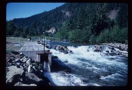
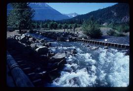
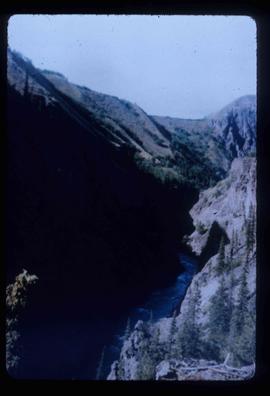
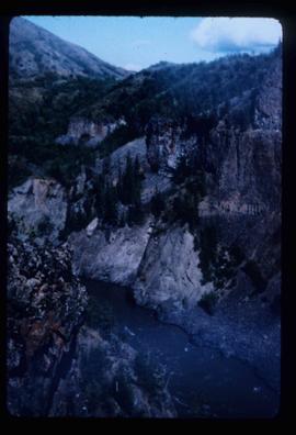
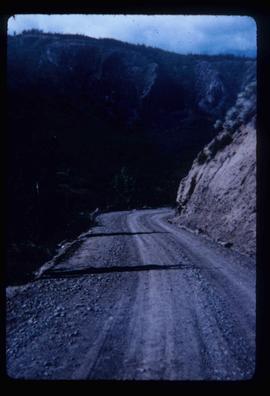
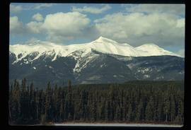
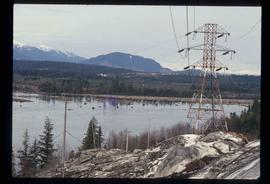
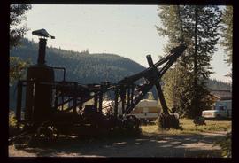
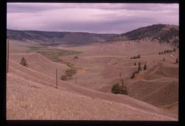
File contains slides depicting the McGregor River and its surrounding areas.
Image depicts a farm at an uncertain location; possibly somewhere in the McGregor Valley.
Image depicts Eaglet Lake, north-east of Prince George, B.C.
Image depicts a bridge over the McGregor River. A sign in the image reads: "Danger. The river is not navigable for any type of boat. Down stream falls and rapids impassible!"
Image depicts an unknown woman pointing towards some faded First Nations' rock paintings.
Image depicts water flowing through an irrigation channel in an orchard, somewhere in or near Seton Portage, B.C. There is a sign which reads: "Danger Keep out."
Image depicts a river somewhere in or near Seton Portage, B.C.
Image depicts a river somewhere in Seton Portage, B.C.
File contains slides depicting places in Nelson.
Image depicts a farm at an uncertain location.
File contains slides depicting Greenwood, B.C.
Image depicts a powerhouse in Prince George, B.C.
Image depicts the Telegraph Creek.
Image depicts Telegraph Creek Road.
Image depicts a chasm full of trees at an unknown location.
Image depicts a mountain at an uncertain location.
Image depicts a lake with a "Swim at Own Risk" sign at an uncertain location.
Image depicts what is possibly the Lillooet River, full of driftwood.
Image depicts numerous docked boats in Kitimat, B.C.
Image depicts a view of the area surrounding Kitimat, with power-lines in the foreground the city partially visible in the distance.
File contains slides depicting places in and around the areas of Likely and Horsefly, B.C.
Image depicts numerous old and ruined cabins in Quesnelle Forks.
Image depicts a view of Quesnelle Forks and the nearby river.
Image depicts numerous abandoned and ruined cabins at Quesnelle Forks.
Image depicts a steam shovel, located in Quesnelle Forks.
Image depicts the upper end of the Bullion Pit in Likely, B.C.
Image depicts a field of hay somewhere in Beaver Valley.
Image depicts a farm in Giscome, B.C.
Image depicts a view of McGregor Valley.
Image depicts a bridge over the McGregor River.
Image depicts water flowing through an irrigation channel in an orchard, somewhere in or near Seton Portage, B.C.
Image depicts a saw cutting a log in half at a saw mill in Prince George, B.C.
Image depicts a large saw at an indoor location, likely in a saw mill somewhere in Prince George, B.C.
Image depicts the interior of a saw mill somewhere in Prince George, B.C.
Image depicts two unidentified individuals examining a thick log still attached to the machine that cut it down. It is located somewhere in Prince George, B.C.
Image depicts several pieces of heavy machinery used in forestry. The Coast Inn of the North is seen in the background.
Image depicts a piece of heavy machinery lifting numerous logs off the back of a logging truck. It is likely located in Prince George, B.C.
File consists of photocopies and notes relating to the boundary expansions of the city of Prince George since its incorporation. Includes a graph drawn by Kent Sedgwick regarding the addition of land and water each year of the boundary expansion and a "Proclamation" photocopy from the B.C. Gazette (23 Apr. 1953). Also includes 5 maps: "City of Prince George Boundary Expansions since Incorporation in 1915" (1979 or 1980); "City of Prince George" (Feb. 1979); "Map of Prince George" (between 1970 and 1985); "Study Area Boundaries" (Mar. 1977); and "City of Prince George" (Feb. 1972).
File consists of notes and reproductions relating a 1913 amendment to the Land Act, which is the British Columbia legislation used by the government to transfer land to the public for community, industrial, or business use. The 1913 amendment stated that land would be free to settlers with proof of three years residence or pre-empting unsurveyed or crown land after March 1913. File primarily consists of photocopied newspaper articles discussing the amendment.
Image depicts a view of the eastern part of the upper Fraser Canyon.
Image depicts the Fraser River passing through the upper Fraser Canyon.
Image depicts the Upper Fraser Canyon from what appears to be the entrance to Gang Ranch.
Image depicts a road near or on Gang Ranch in the Upper Fraser Canyon.
Image depicts the Fraser River near Gang Ranch in the Upper Fraser Canyon.
Image depicts a bridge over the Fraser River in the Upper Fraser Canyon; possibly near Gang Ranch.
Image depicts a view of the Upper Fraser Canyon.
Image depicts a view of some of the scenery near the Upper Fraser Canyon.