2012.13.1.89.064
·
Item
·
Sep. 1978
Part of J. Kent Sedgwick fonds
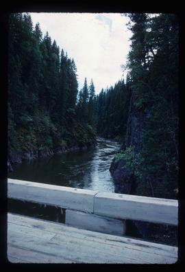
Image depicts what is possibly the Bowron River from a bridge. The slide is simply labelled "Bowron Canyon."