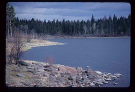
Image depicts a view of an unidentified body of water, possibly near Meldrum Creek, B.C.
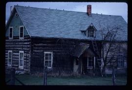
Image depicts a ranch house in Meldrum Creek, B.C.
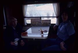
Image depicts two women at a table; the one on the right is possibly Sue Sedgwick. The image may have been taken in Meldrum Creek, B.C.
File contains slides depicting places in California, USA.
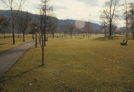
Image depicts the Fort George Park. Map coordinates 53°54'30.2"N 122°43'57.4"W
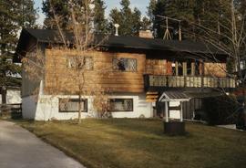
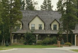
Image depicts a Bavarian style house at College Heights in Prince George, B.C.
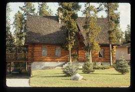
Image depicts a log house located somewhere on Kerry Street in Prince George, B.C.
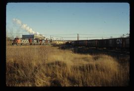
Image depicts two trains in Prince George, B.C.
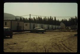
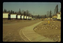
Image depicts a number of trailer homes in Tumbler Ridge, B.C.
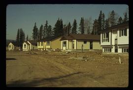
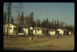
Image depicts a row of houses in Tumbler Ridge, B.C.
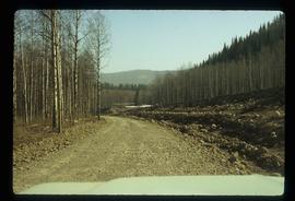
Image depicts a road somewhere in Tumbler Ridge, B.C. There are three bush planes in the image.
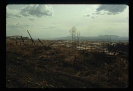
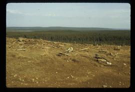
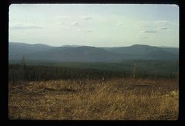
Image depicts a view of the scenery in Tumbler Ridge, B.C.
Image depicts a view of the scenery in Tumbler Ridge, B.C.
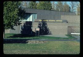
Image depicts the Fort George Regional Museum in Prince George, B.C.
File contains slides depicting images of Dunster Station from 1982 to 1983.
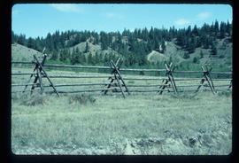
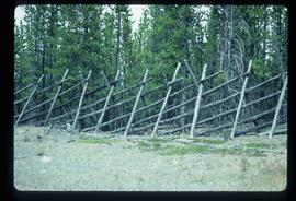
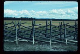
Image depicts a fence, perhaps somewhere in the Chilcotin region.
Item is an original 1983 map depicting Atnarko River in British Columbia, published by the Province of British Columbia Ministry of Environment.
File consists of notes, clippings, and reproductions relating to the Prince George Rivers Committee. Includes: "Report of the Rivers Committee" spiral bound typescript reports submitted to City Council of the City of Prince George (26 Sept. 1983) and "Submission to Rivers Committee by Heritage Advisory Committee" typescript document by Kent Sedgwick (Apr. 1983).
File contains slides depicting views of numerous B.C. Mountains.
Item is an original 1983 map depicting Salmon River in British Columbia, published by the Province of British Columbia Ministry of Environment. The map includes pen and pencil annotations.
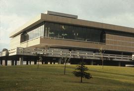
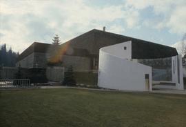
Image depicts the Prince George Public Library (Bob Harkins Branch). Map coordinates 53°54'43.1"N 122°44'56.4"W
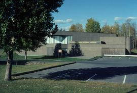
Image depicts the Fort George Regional Museum (now known as The Exploration Place) in Prince George, B.C. Map coordinates 53°54'18.6"N 122°44'09.8"W
Image depicts the Four Seasons Leisure Pool, and the Centennial Fountain in Prince George, B.C. Map coordinates 53°54'48.5"N 122°44'49.2"W
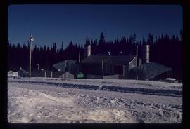
Image depicts a gas compression station located at Summit Lake, north of Prince George, B.C.
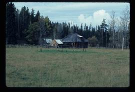
Image depicts an old log cabin in Salmon Valley.
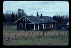
Image depicts an old log house with a collapsing roof in Salmon Valley.
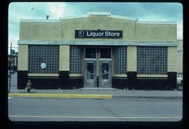
Image depicts the BC Liquor Store in Prince George, B.C.
Image depicts a fence somewhere in Anahim Lake, B.C.
File contains slides depicting images of the Grand Trunk Pacific railway roundhouse in Prince George, B.C.
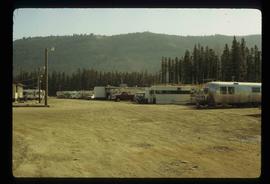
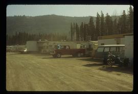
Image depicts numerous campers and other vehicles in Tumbler Ridge, B.C.
Image depicts a row of houses in Tumbler Ridge, B.C.
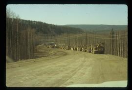
Image depicts a road somewhere in Tumbler Ridge, B.C. There are numerous construction vehicles present.
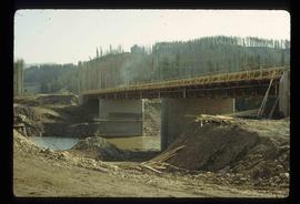
Image depicts a bridge under construction in Tumbler Ridge, B.C.
Image depicts a view of the scenery in Tumbler Ridge, B.C.
Image depicts a Cariboo Ranch style house at College Heights in Prince George, B.C.
Image depicts a house on Blackwater Road.
The Canada Chart depicts Canadian federal and provincial and government information and graphics.
The item is a photographic reprint originally taken in 1936. The photograph depicts the Fraser River flood in Prince George in June 1936. Buildings are shown among the raised flood waters. Annotations on the reverse side of the photograph state, "983.11.3 slide 6.3 x 9.5" crossed out is "6 1/2 x 10."
The item is a photographic reprint originally taken in 1936. The photograph depicts the Fraser River flood in Prince George in June 1936. A man on a raft is portrayed near a woman on a bridge with water coming up to the bottom of the bridge. Annotations on the reverse side of the photograph state, "983.16.5 slide 5.7 x 9.5" and crossed out is "6 x 10."
File contains slides depicting Tumbler Ridge.
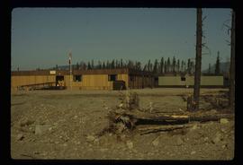
Image depicts the Tumbler Ridge School.
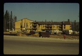
Image depicts an apartment building in Tumbler Ridge, B.C.
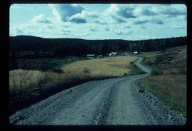
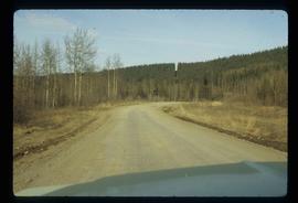
Image depicts a road somewhere in Tumbler Ridge, B.C.
Image depicts a view of the scenery in Tumbler Ridge, B.C.
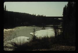
Image depicts a river in Tumbler Ridge, B.C. The bridge crossing it appears to be either half-missing or incomplete.
Image depicts a fence somewhere in Anahim Lake, B.C.
File consists of notes, typescript documents, and clippings relating to the heritage potential of South Fort George. Includes: "Heritage Potential of South Fort George" typescript document by the Heritage Advisory Committee (Feb. 1982) and "Fort George Area - Historical and Heritage Opportunities Study" letter to the Mayor and Council of Prince George from Mark B. Stagg, City Planner (5 Feb. 1982).
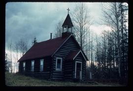
Image depicts an old Catholic church in Salmon Valley.
Image depicts a number of trailer homes in Tumbler Ridge, B.C.
Image depicts numerous campers and other vehicles in Tumbler Ridge, B.C.
