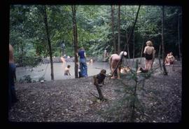
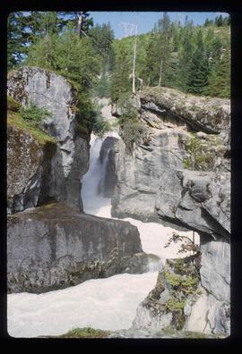
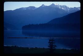
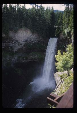
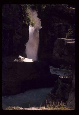
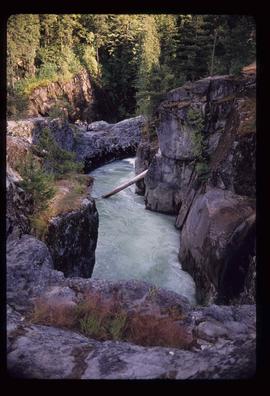
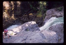
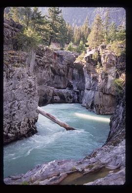
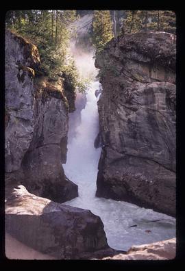
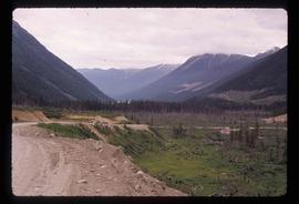
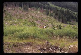
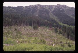
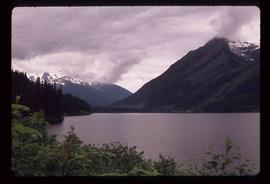
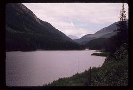
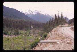
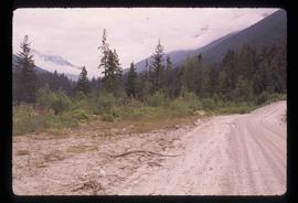
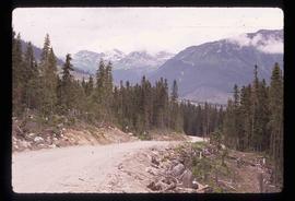
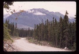
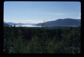
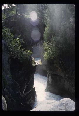
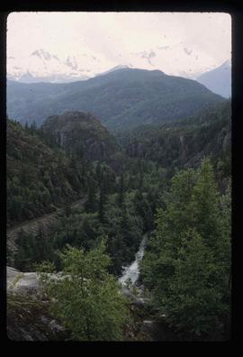
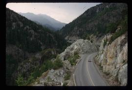
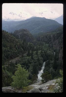
Image depicts a view of the forest and lake around Kitimat, B.C.
Image depicts a large group of people enjoying the Mount Layton Hot springs in the Lakelse Lake Provincial Park north of Kitimat, B.C.
Image depicts Nairn Falls.
Image depicts a lake and a mountain in the distance. The location is uncertain.
Image depicts a farm at an uncertain location.
Image depicts Nairn Falls in Nairn Falls Provincial Park.
Image depicts Nairn Falls.
Image depicts a lake with a "Swim at Own Risk" sign at an uncertain location.
Image depicts what is possibly the Lillooet River, full of driftwood.
Image depicts a ferry entering Horseshoe Bay in the Howe Sound region.
Image depicts two trucks on a road at an uncertain location.
Image depicts a view of Nairn Falls Provincial Park.
Image depicts the condominiums in the "Pemberton Valley Estates" in Pemberton, B.C.
Image depicts Highway 99 near Pemberton, B.C.
Image depicts a farm near Pemberton, B.C.
Image depicts a train in an uncertain location, though it is possibly Howe Sound in the background.
Image depicts the Fraser River near Lillooet, B.C.
Image depicts rail road tracks and several buildings in Pemberton, B.C.
Image depicts some power lines and mountains near Pemberton, B.C.
Image depicts what appears to be an apartment building among several others in an uncertain location.
Image depicts Highway 99 north of Squamish and near Pemberton, B.C.
Image depicts the Nairn Falls in Nairn Falls Provincial Park south of Pemberton, B.C.
Image depicts a view of the scenery near Lillooet, B.C.
Image depicts Highway 99 north of Squamish, near Pemberton, B.C.
Image depicts the Nairn Falls in Nairn Falls Provincial Park south of Pemberton, B.C. There is an unknown child sitting on the rocks in the image.
Image depicts the Nairn Falls in Nairn Falls Provincial Park south of Pemberton, B.C.
Image depicts numerous power lines and a road somewhere north of Squamish.
Image depicts the Nairn Falls in Nairn Falls Provincial Park south of Pemberton, B.C.
Image depicts Howe Sound.
Image depicts a view of Howe Sound from the Stawamus Chief Nature Trail to the Stawamus Chief Mountain, which is often incorrectly referred to as "Squamish" Chief.
Image depicts the Duffey Lake Provincial Park.
Image depicts Cayoosh Creek.
Image depicts a road in Cayoosh Valley.
Image depicts a deer somewhere at Joffre Creek.
Image depicts a deer in the bottom left corner, as well as a view of a mountain side, somewhere at Joffre Creek.
Image depicts a view of Duffey Lake Provincial Park, looking west over Duffey Lake.
Image depicts a view of Duffey Lake Provincial Park, looking east over Duffey Lake.
Image depicts the Duffey Lake Provincial Park.
Image depicts the Britannia Mine, which closed in 1974 and is now a museum. "Anaconda" was the last operating owner.
Image depicts a forest and a road, somewhere near Duffey Lake.
Image depicts the head of Lillooet Lake.
Image depicts a road, possibly Joffre Creek Road. The slide is simply labelled "Joffre cr."
Image depicts a road somewhere near Duffey Lake.
Image depicts the start of Joffre Creek Road, most likely somewhere in the Joffre Lakes Provincial Park.