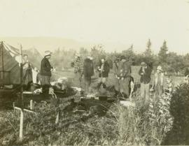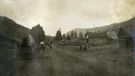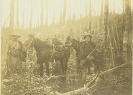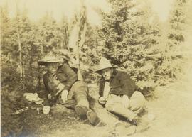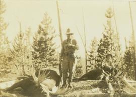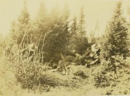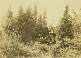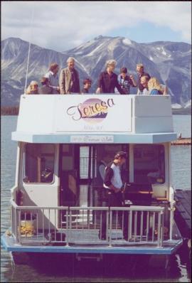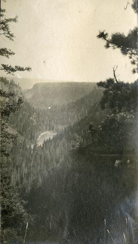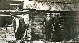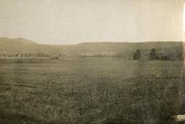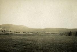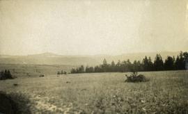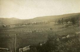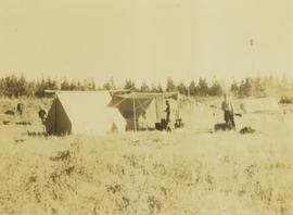
2000.19.2.87
·
Item
·
29 Aug. 1927-26 Sept. 1927
Part of Prentiss Gray Collection
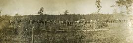
Photograph depicts two men tending to a camp site with several tents and horses on a grassy field.