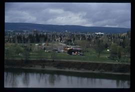
Image depicts an aerial view of Fort George Park.
Image depicts the cutbanks on the other side of the Nechako, taken from the nature trail at Island Cache. Map coordinates 53°55'34.6"N 122°45'52.4"W
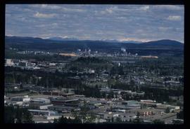
Image depicts the Northwood pulpmill in Prince George B.C.
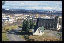
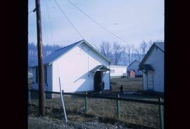
Image depicts a view of Blackburn Schools, possibly taken from Tabor Mountain.
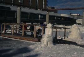
Image depicts two snow sculptures near a wooden bridge on an ice rink, possibly during the Winter City Conference, in Prince George, B.C. Taken at the Prince George Civic Center. Map coordinates 53°54'45.6"N 122°44'59.6"W
Image depicts downtown Prince George taken from across the Nechako River looking south. Map coordinates 53°56'00.0"N 122°44'29.7"W
Image depicts Prince George from University Way, with the P.G.I. Pulp Mill in the distance.
Image depicts a bridge in Prince George, B.C.
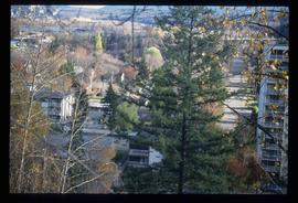
Image depicts Prince George with numerous trees obscuring most of the view.
Image depicts Prince George.
Image depicts the Fraser River at Paddlewheel park, with a train on the other side of the river, in Prince George B.C.
Image depicts a view of Prince George.
Image depicts the Ginter House and the surrounding woods, in Prince George, B.C.
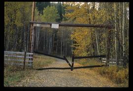
Image depicts a private driveway, most likely leading to the Ginter Property in Prince George, B.C.
Image depicts a number of small houses at Island Cache.
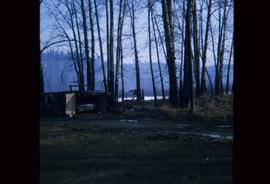
Image depicts a stand of trees and a shed at Island Cache.
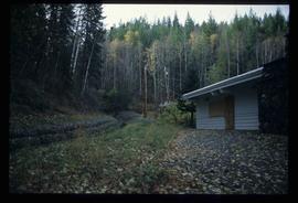
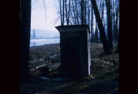
Image depicts what is likely an outhouse at Island Cache.
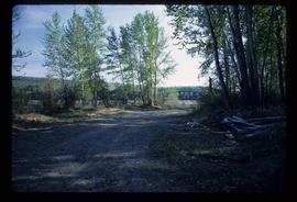
Image depicts a clearing at Island Cache.
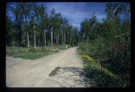
Image depicts a nature trail on Cottonwood Island.
Image depicts Cottonwood Island.
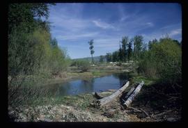
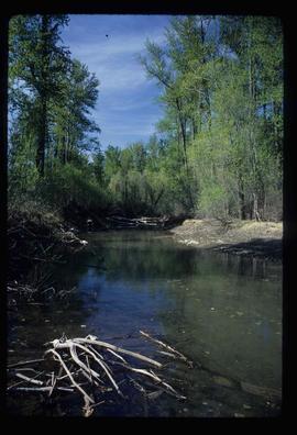
Image depicts a small stream somewhere on Cottonwood Island.
Image depicts a nature trail on Cottonwood Island.
File consists of a transcript of an oral history interview with Jack Boudreau. Also includes photocopies of Jack Boudreau's personal records, such as the Diary of Ada (Adelia) Sykes.
File consists of a transcript of an oral history interview with Jim Burbee.
File consists of:
- David Mills, "Aleza Lake Research Forest Historical Internship Summary" (2 Jan. 2007), 26 p. - In print and original digital .doc file
- David Mills, "Aleza Lake Forest Experiment Station Socio-Economic Time Line 1905-1937" (2007), 68 p. - In print and original digital .doc file
- ALRFS employment paperwork for David Mills, the ALRFS Natural Resource History Intern
- Research notes, including a copy of a map of the town of Aleza Lake in the 1920s
Map reproduction of the Aleza Lake Research Forest depicts timber sale areas, forest cover, and other details.
File is a Resource Folio of maps and accompanying information created by Northwood Pulp & Timber regarding Timber Sale Harvesting Licence A01847, Willow River Block, Willow River P.S.Y.U. Includes maps that depict ungulates, waterfowl, recreation areas, special influence areas, and timber types. Most of the sheets have a duplicate, some with very slight variations. The following maps are supposed to be included in the but were missing upon arrival at the Archives: fish & topography, cutting permits & roads, and soils.
Photographs are panoramas taken from the Churchill BC Forest Service Lookout, located at latitude 54°04' and longitude 122°16'. The photographs were bound together and include a transparent grid that was intended to be used for locating forest fires.
Slide depicts a cleared area in a forest, likely at the Aleza Lake Experiment Station.
Slide depicts cleared ground and felled trees in a forested area, likely at the Aleza Lake Experiment Station.
File consists of an audio recording of an interview with Jack Boudreau. Includes one original recorded audio cassette and one copy.
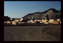
Image depicts numerous piles of wood planks at the Canadian National Railway Yards in Prince George, B.C. The cutbanks are seen in the background.
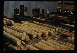
Image depicts numerous stripped logs and several unidentified individuals in hard hats at a saw mill somewhere in Prince George, B.C.
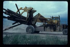
Image depicts a piece of heavy machinery lifting numerous logs. It is likely located in Prince George, B.C.
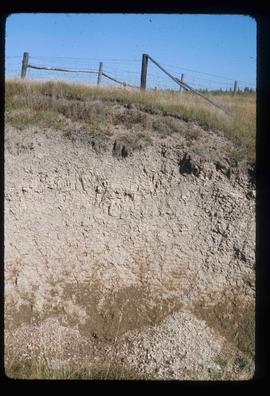
Image depicts an example of varves, an annual layer of sediment or rock, possibly located at the airport in Prince George, B.C.
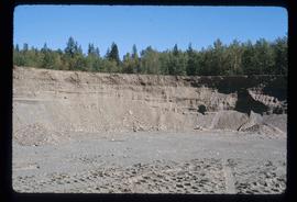
Image depicts layers of gravel at the BCR site in Prince George, B.C.
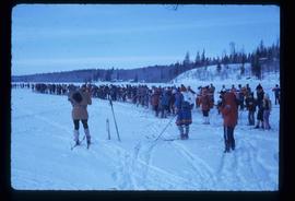
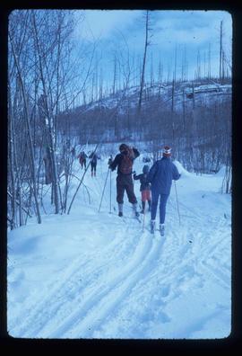
Image depicts a long line of people cross country skiing along the Birchleg route on Tabor Mountain in Prince George, B.C.
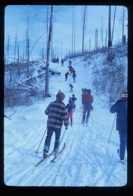
Image depicts numerous skiers cross-country skiing on a trail through trees on the Birchleg Ski route on Tabor Mountain in Prince George, B.C.
Image depicts numerous skiers on the Birchleg Ski route on Tabor Mountain in Prince George, B.C.
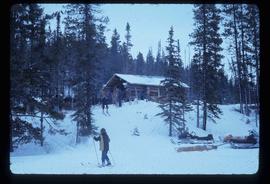
Image depicts numerous skiers at the cabin located at Troll Lake on Tabor Mountain in Prince George, B.C.
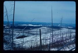
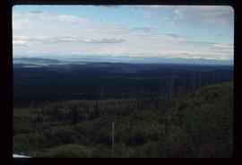
Image depicts the area surrounding Tabor Mountain. Prince George is slightly visible in the background.
Image depicts a view of the landscape surrounding Tabor Mountain in Prince George, B.C.
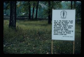
Image depicts a group of trees in the Cottonwood Park, with a sign which reads: "This is the primary plantation for the 'Forest for the World' project. These trees were planted on August 5, 1985, commemorating Prince George's 70th birthday by the citizens of Prince George & Expo 86'."


