2012.13.1.3.025
·
Item
·
Oct. 1975
Part of J. Kent Sedgwick fonds
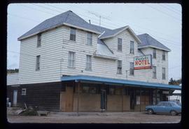
Image depicts a rural setting, most likely near the airport in Prince George, B.C.