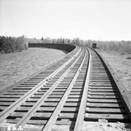
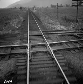
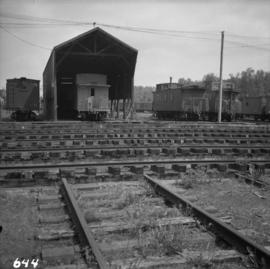
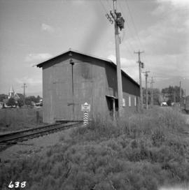
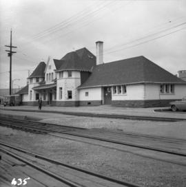
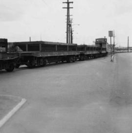
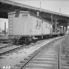
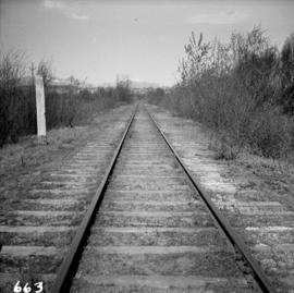
Showing 3379 results

Archival description
C.N.R. track on Lulu Island
2013.6.36.1.009.21 · Item · Apr. 1966
Part of David Davies Railway Collection

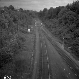
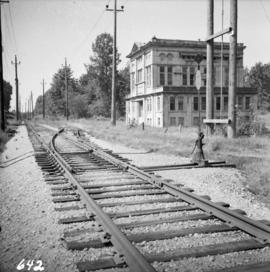
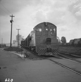
Photograph depicts the Canadian National Railway (CN) track at the east end of Lulu Island. It originally led to a peat plant but now continues southwards to the Lafarge Cement Plant on the south bank of the island. The view is looking due north and there is a whistle board at the left for the Westminster Highway behind the camera.

C.N.R. track on Lulu Island
2013.6.36.1.009.20 · Item · Apr. 1966
Part of David Davies Railway Collection

Photograph depicts the Canadian National Railway (CN) track on Lulu Island leading to the swing bridge that crosses the north arm of the Fraser River. The view is looking northeast.

2013.6.36.1.009.19 · Item · Apr. 1966
Part of David Davies Railway Collection

Photograph depicts the Canadian National Railway (CN) trestle leading to the swing bridge across the north arm of the Fraser River. The view is taken from Lulu Island, looking northeast. Stumps under the trestle indicate this is the second trestle on the site.

2013.6.36.1.009.12 · Item · Oct. 1965
Part of David Davies Railway Collection

Photograph depicts the Canadian National Railway (CN) station at Clearwater, on the mainline between Kamloops and Tete Juane Cache Junction, about 75 miles north of Kamloops. The main trade is lumber. The view is looking south.

2013.6.36.1.008.21 · Item · Apr. 1966
Part of David Davies Railway Collection

Photograph depicts the former B.C. Electric Railway spur running westwards along Bridgeport Rd., leading from the former main trackage. It was not in use for many years and was lifted in 1965, except for road crossings. The photo is taken from the intersection with Sexsmith Rd., looking east. The former main trackage is sited about 300 yards in the background and at right angles to the track in the foreground.