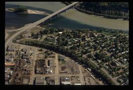
File consists of notes and reproductions relating to air photographs of Prince George. File predominantly consists of reproduced air photos and photocopied air photos from the Royal BC Museum and Archives depicting Prince George and region. Includes: "RE: Archive Photos Gd" printed email from Gabrielle Dupuis to Kent Sedgwick (17 Oct. 2000) and "Aerial photograph data sheet" reproduction of a data sheet (27 June 1978).
File consists of notes and reproductions relating to floods in Prince George. Also includes photographs depicting a sign describing the importance of floods in Prince George.
File consists of notes, clippings, and reproductions relating to urban planning and writing by Kent Sedgwick. Includes: "The Downtown Streets of Prince George: a 'City Beautiful' Plan" typescript document by Kent Sedgwick (7 Oct. 1991); "A Report on the Issues of Downtown Revitalization in Prince George" from the Downtown Revitalization Committee (Nov. 1996); and "Letters to the editor" typescript letter to the Prince George Citizen from Kent Sedgwick (3 Mar. 1985).
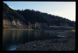
Image depicts the Fraser River at Paddlewheel park, with a train on the other side of the river, in Prince George B.C.
Image depicts Ash Street and Patricia Boulevard in Prince George, B.C.
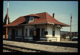
Image depicts the old CN station in Giscome, B.C. Map coordinates 54°04'20.7"N 122°22'01.1"W
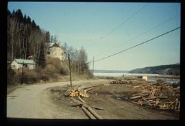
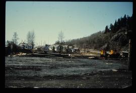
Image depicts the Giscome mill foreman's house on the hill, with Eaglet Lake in the background and numerous piles of logs in the foreground. Map coordinates 54°04'28.0"N 122°22'05.8"W
File consists of notes, clippings, and reproductions relating to the planning of Millennium Park at First Avenue and George Street in Prince George. Includes: "Cairn at Millennium Park" typed document by Kent Sedgwick (Mar. 2000) and correspondence letters between Kent Sedgwick, The City of Prince George, and Environment Canada (1987).
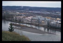
Image depicts the Northwood Pulpmill in Prince George, B.C. taken from above the Nechako River looking east. Map coordinates 53°56'00.0"N 122°44'29.7"W
File contains slides depicting places along the east line of the BC Railway. Some are duplicates of the images found in the "East Line, Dome Creek - Lamming Mills - Misc" file.
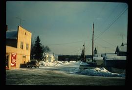
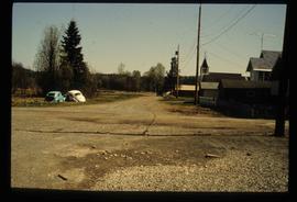
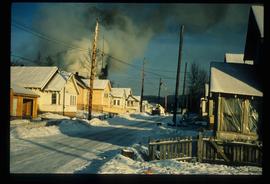
Image depicts a street in Giscome B.C. The Giscome Store is located on the left side of the image with the church in the background. Map coordinates 54°04'18.5"N 122°21'57.7"W
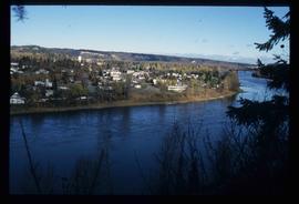
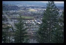
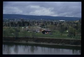
Image depicts a view of Prince George from an uncertain location.
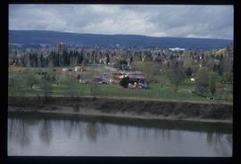
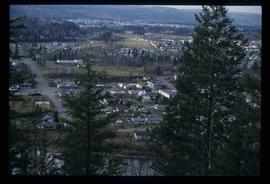
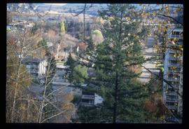
Image depicts a view of Prince George.
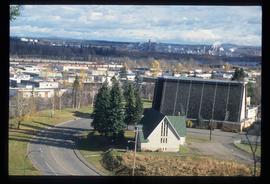
Image depicts a view of Prince George.
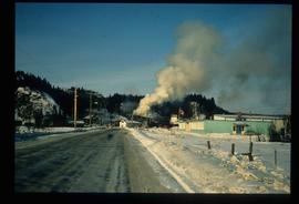
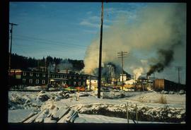
Image depicts a sawmill in Prince George, B.C.
Image depicts Prince George Sawmill taken from across the Nechako River looking southwest. Map coordinates 53°56'00.0"N 122°44'29.7"W
Image depicts a view of the Millar Addition suburb from Connaught Hill in Prince George, B.C.
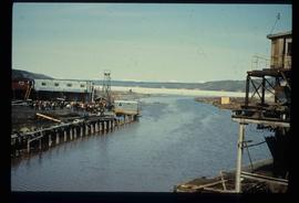
Image depicts mill site and dock in Giscome, B.C. with Eaglet Lake in the background covered in ice. There is a large crowd of people gathered near the dock. Map coordinates 54°04'34.9"N 122°21'50.0"W
Image depicts a street in Giscome. The store was previously located on the left. The church is in the background. Map coordinates 54°04'18.5"N 122°21'57.7"W
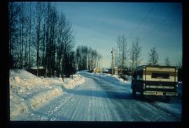
Image depicts a snow-covered road at an uncertain location.
File contains slides depicting places in and around Mackenzie Town.
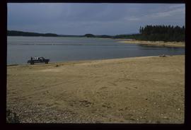
Image depicts a truck parked on a beach in Mackenzie, B.C.
File consists of clippings, notes, and reproductions relating to Moore's Meadow in Prince George. Includes: "Charles W. Moore" handwritten notes by Kent Sedgwick (2000); "The origin of Moore's Meadow" typescript by Kent Sedgwick; and "Moore's Meadow" typescript document by Mary Fallis (Jan. 1991).
File consists of photographs depicting the Salmon River Portage. Includes depictions of potential past mill sites, overgrown fields, and derelict buildings.
Image depicts a view of Prince George.
Fonds consists of original, silent 16mm reels that portray the natural, social and land use history of the Bella Coola and Chilcotin regions named the "Natural and Guiding History of the Bella Coola and Chilcotin Regions".
Possible locations that Al Elsey filmed include: Bella Coola, Bella Bella, Anahim Lake, Alert Bay, Nimpo Lake, Bulkey Valley, the Rainbow Mountains, Tweedsmuir Provincial Park, Dean River, Bella Coola River, Tchaha Lake, the Chilcotin region, the Ulkatcho Mountains, Lassard Lake, Fenton Lake, Atnarko River, Wells Gray Park, and Holt Homestead.
File consists of newspaper clippings regarding Vanderhoof and its claims of being the geographical centre of the province of British Columbia.
Image depicts downtown Prince George taken from across the Nechako River looking south. Map coordinates 53°56'00.0"N 122°44'29.7"W
Image depicts Prince George Sawmill taken from across the Nechako River looking southwest. Map coordinates 53°56'00.0"N 122°44'29.7"W
Image depicts Prince George with numerous trees obscuring most of the view.
Image depicts Prince George.
Image depicts the Fraser River at Paddlewheel park, with a train on the other side of the river, in Prince George B.C.
Image depicts a view of Prince George.
Image depicts the Giscome mill site in Giscome, B.C. The bunkhouse is in the background on the left and the school is in the foreground on the right. Map coordinates 54°04'04.8"N 122°22'04.7"W
Image depicts the Giscome mill site in Giscome, B.C. The bunkhouse is the large building with many windows. A train and railroad tracks are in the foreground. Map coordinates 54°04'17.6"N 122°22'06.1"W
Image depicts employee houses on mill site in Giscome, B.C. Tug boats are in the foreground on the right. Map coordinates 54°04'23.4"N 122°22'16.9"W
Image depicts a street of houses in Giscome, B.C. Map coordinates 54°04'20.9"N 122°21'53.1"W
File consists of maps depicting the Salmon River Portage area.
This map is the Schedule A accompanying map for the City of Prince George's Soil Removal and Deposit Bylaw No. 7022 of 1999. It depicts designated soil removal areas and M.O.T.H. gravel reserves.
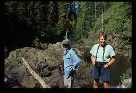
Image depicts two unknown individuals at the Tsilcoh Falls, north of Fort St. James and somewhere near Pinchi Lake Road.
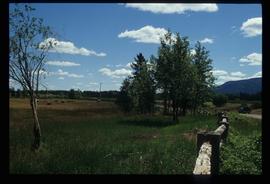
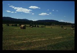
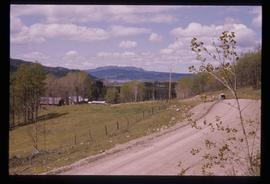
Image depicts a field along Telegraph Road, south-west of Vanderhoof, B.C.
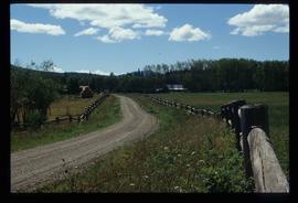
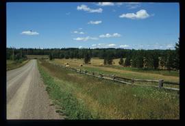
Image depicts Telegraph Road, south-west of Vanderhoof, B.C.
Image depicts Telegraph Road, south-west of Vanderhoof, B.C.
Image depicts a field along Telegraph Road, south-west of Vanderhoof, B.C.
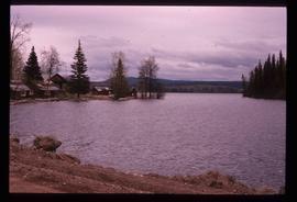
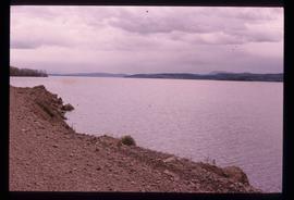
Image depicts Francois Lake.
Image depicts Francois Lake.
Image depicts a section of land on the east end of Francois Lake. The lake is visible in the distance.
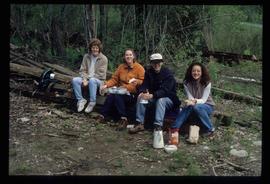
Image depicts four individuals sitting on a log, possibly somewhere near the Hansard Bridge, B.C. The individuals are UNBC faculty members Gail Fondahl, Tracey Summerville, Greg Halseth and an unidentified individual. The slide is labelled: "Hansard Bridge UNBC." Map coordinates 54°04'37.7"N 121°50'39.9"W
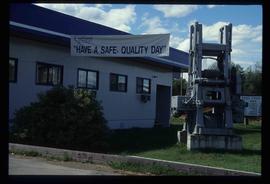
Image depicts the office at the Northwood Upper Fraser Saw Mill and a sign which reads "Have a safe, quality day." Map coordinates 54.117916, -121.943351
