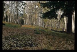
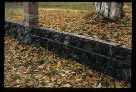
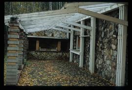
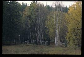
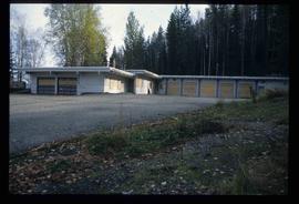
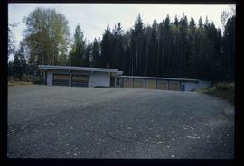
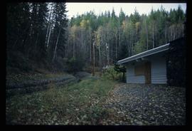
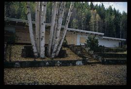
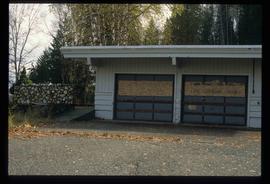
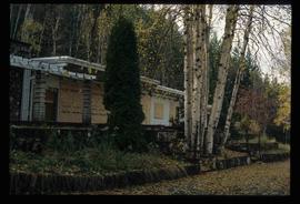
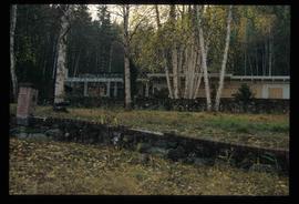
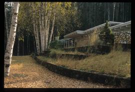
Image depicts the Ginter Property in Prince George, B.C.
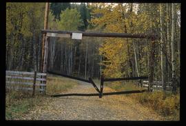
Image depicts what appears to be a part of a fence on the Ginter Property in Prince George, B.C.
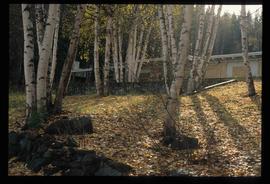
Image depicts a few trees, with what is possibly the Northwood Pulpmill in the background, in Prince George, B.C.
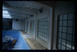
Image depicts the interior of the Ginter House in Prince George, B.C.
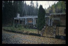
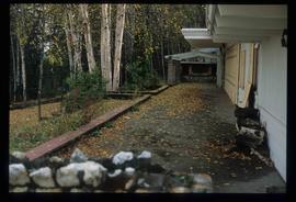
Image depicts the Ginter House in Prince George, B.C.
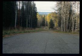
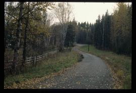
Image depicts a road near the Ginter House in Prince George, B.C.
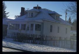
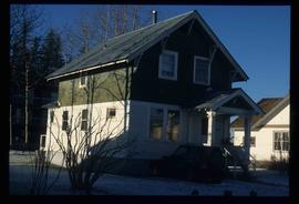
Image depicts 1461 Ingledew in Prince George, B.C.
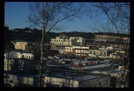
Image depicts Prince George, B.C.
File contains slides depicting images of the Ginter House from 1997 in Prince George, B.C.
Image depicts the Ginter House in Prince George, B.C.
Image depicts the interior of the Ginter House in Prince George, B.C.
Image depicts the Ginter House in Prince George, B.C.
Image depicts the Ginter House in Prince George, B.C.
Image depicts a road near the Ginter House in Prince George, B.C.
Image depicts the Ginter House in Prince George, B.C.
Image depicts the Ginter House in Prince George, B.C.
Image depicts the Ginter House in Prince George, B.C.
Image depicts the Ginter House and the surrounding woods, in Prince George, B.C.
Image depicts the Ginter House in Prince George, B.C.
Image depicts the Ginter House in Prince George, B.C.
Image depicts the Ginter House in Prince George, B.C.
Image depicts the Ginter House in Prince George, B.C.
Image depicts the Ginter House in Prince George, B.C.
Image depicts a private driveway, most likely leading to the Ginter Property in Prince George, B.C.
Image depicts 1423 Ingledew in Prince George, B.C.
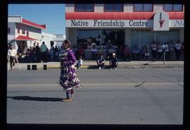
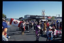
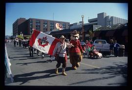
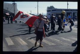
File contains slides depicting the Summerfest in Prince George, B.C. in 1994.
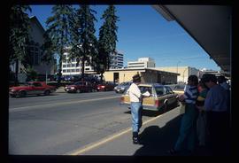
Image depicts a group of individuals on the sidewalk outside Spee-Dee Printers on Brunswick Street in Prince George, B.C.
Image depicts a woman, wearing clothes reminiscent of traditional First Nations, who appears to be dancing in the street outside of a Native Friendship Centre in Prince George, B.C. A large crowd is looking on.
Image depicts a marching band with numerous other unidentified individuals. One man is carrying a Canadian flag with the depiction of men in a boat and the words "Canada Sea-to-Sea" on it.
Image depicts a marching band with numerous other unidentified individuals. One man is carrying a Canadian flag with the depiction of men in a boat and the words "Canada Sea-to-Sea" on it, and there is a mascot beside him that appears to be a chipmunk in an RCMP uniform.
Image depicts a marching band with numerous other unidentified individuals. One man is carrying a Canadian flag with the depiction of men in a boat and the words "Canada Sea-to-Sea" on it.
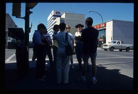
Image depicts a group of individuals standing on the corner of 3rd Ave in Prince George, B.C.
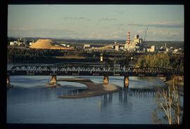
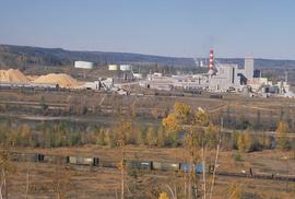
Image depicts two mills; the Intercontinental Pulp Mill is on the right in the foreground, and the Prince George Pulp and Paper Mill is on the left in the background. The picture is taken from the South, possibly off Yellowhead Bridge in Prince George, B.C.
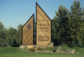
Image depicts the Prince George welcome and population sign, with a population of 71,086. Map coordinates 53°53'52.0"N 122°46'08.7"W
Map depicts to Canadian federal electoral districts for the 1993 federal election.
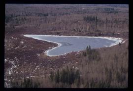
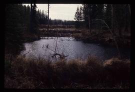
Image depicts Haldi Lake near Prince George, B.C.
Image depicts Eskers Park, near Prince George, B.C.
File consists of records created or collected by Kent Sedgwick relating to various community projects associated with river parks. Example projects included in the file are a proposed Carrier village at Hudson Bay Slough, a Cottonwood Island park, proposed commercial boat tours on the Nechako and Fraser River, and the Quesnel Paddlewheel Park. Includes a project proposal document by the Fort George Band entitled "Establishing a Permanent Carrier Village in Prince George" (1990); a 1991 meeting package of the Nechako and Fraser River Valleys Committee (regarding the Cottonwood Island property and development of the Heritage River Trails System); a 1991 memorandum entitled "Prince George River Runners - Proposed commercial boat tours on the Nechako and Fraser River"; a 1983 "Submission to Rivers Committee Public Hearings by Heritage Advisory Committee, City of Prince George" describing the various river-adjacent heritage sites in Prince George; and documentation from the Quesnel Paddlewheel Association.
File contains slides depicting numerous recreational locations from various places in Canada.
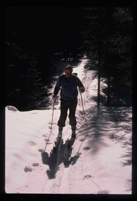
Image depicts an unidentified man cross country skiing somewhere on Tabor Mountain in Prince George, B.C.
Image depicts the cutbanks on the other side of the Nechako, taken from the nature trail at Island Cache. Map coordinates 53°55'34.6"N 122°45'52.4"W
Image depicts the cutbanks on the other side of the Nechako, taken from the nature trail at Island Cache. Map coordinates 53°55'34.6"N 122°45'52.4"W
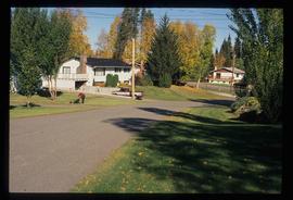
Image depicts a neighbourhood on the Hart Highway in Prince George, B.C.
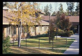
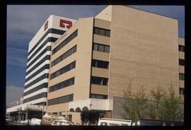
Image depicts Parkside Intermediate Care Home on Ospika Boulevard in Prince George. Map coordinates 53°55'02.6"N 122°47'41.6"W
Image depicts 3rd Ave at Victoria St. Map coordinates 53°55'03.9"N 122°44'54.8"W
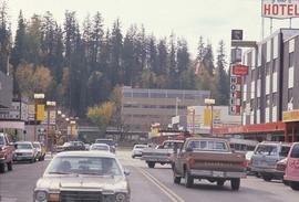
Image depicts George St in downtown Prince George with City Hall in the background. Also visible are the Prince George Hotel and a movie theatre. Map coordinates 53°54'55.0"N 122°44'36.1"W
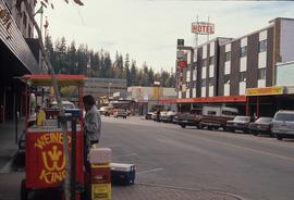
Image depicts George St in downtown Prince George with City Hall in the background. Also visible are the Prince George Hotel, Ming's Inn Chinese Restaurant, Fraser Stationers Ltd., Weiner King food cart, and a movie theatre. Map coordinates 53°54'55.0"N 122°44'36.1"W
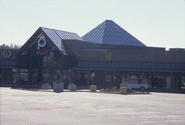
Image depicts Pine Centre Mall in Prince George, B. C. Map coordinates 53°53'53.2"N 122°46'36.4"W
Image depicts the Northwood pulpmill in Prince George B.C.
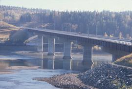
Image depicts the Yellowhead Bridge across the Fraser River. Map coordinates 53°54'45.2"N 122°43'27.9"W
