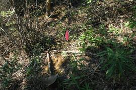
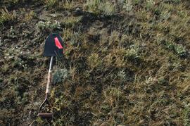
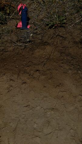
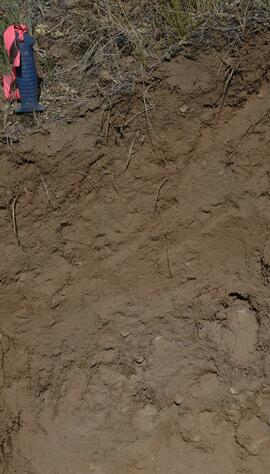
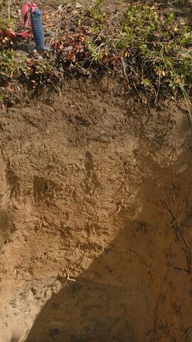
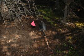
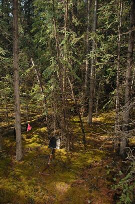
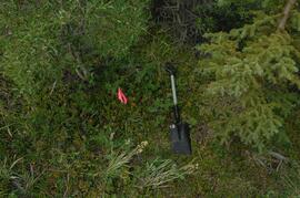
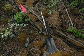
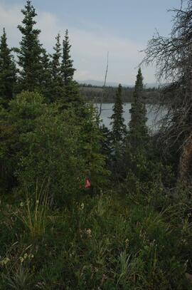
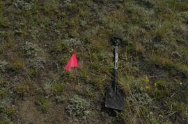
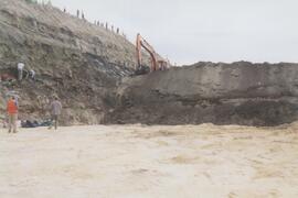
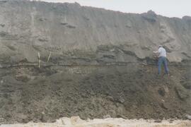
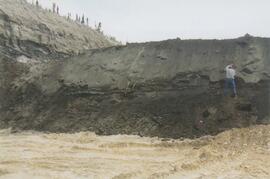
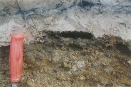
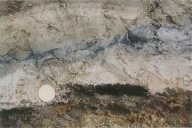
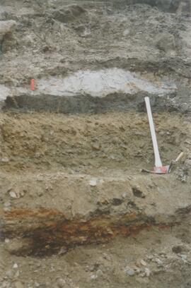
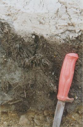
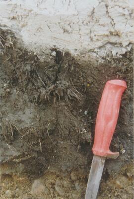
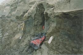
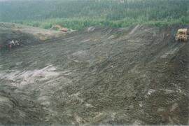
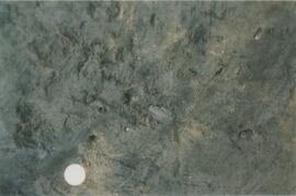
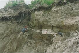
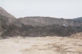
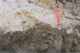
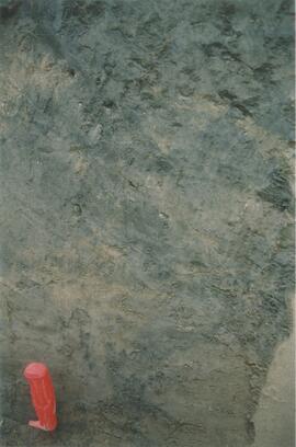
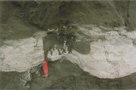
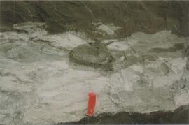
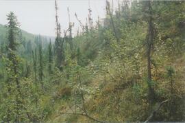
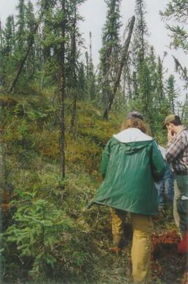
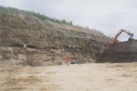
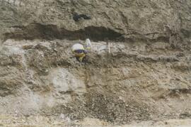
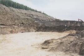
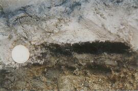
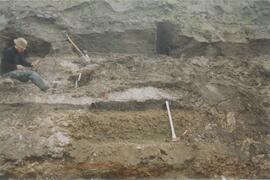
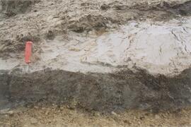
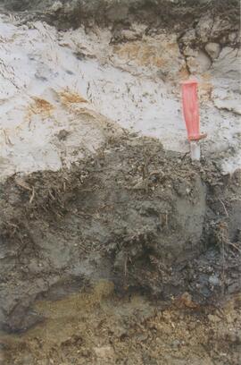
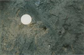
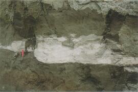
Photograph depicts a Kluane Lake transect 2 location.
Photograph depicts a Kluane Lake transect 3 location.
Photograph depicts a Kluane Lake transect 3 location.
Photograph depicts a Kluane Lake transect 3 location.
Photograph depicts a Kluane Lake transect 3 location.
Photograph depicts a Kluane Lake transect 3 location.
Photograph depicts a Kluane Lake transect 3 location.
Photograph depicts a Kluane Lake transect 3 location.
Photograph depicts a Kluane Lake transect 3 location.
Photograph depicts a Kluane Lake transect 3 location.
Photograph depicts a Kluane Lake transect 3 location.
Photograph depicts a Kluane Lake transect 3 location.
This PDF contains site location data, annotated soil profile photographs, and AMS radiocarbon dates for 2004 soil charcoal samples collected at Kluane Lake, Yukon Territory.
Tarnocai and Smith recorded their site locations on NTS topographical maps, and provided a set of scans of these maps.
Scanned topographical maps with Tarnocai & Smith site locations:
ARCTIC RED RIVER.TIF
AUSTRALIA MOUNTAIN.TIF
CARMACKS.TIF
CLEAR CREEK.TIF
COLDSPRING MOUNTAIN.TIF
DAWSON-1.TIF
DAWSON-2.TIF
DAWSON-3.TIF
ETHEL LAKE.TIF
FLAT CREEK.TIF
GARNER CREEK.TIF
GRAND FORKS.TIF
GRAND VALLEY CREEK.TIF
GRAVEL CREEK.TIF
GRAVEL LAKE.TIF
HART RIVER.TIF
LARSEN CREEK.TIF
LEE CREEK.TIF
MAYO.TIF
McQUESTEN-1.TIF
McQUESTEN-2.TIF
McQUESTEN-3.TIF
MEDRICK CREEK.TIF
MINTO LAKE.TIF
MOOSE CREEK.TIF
OGILVIE RIVER.TIF
PIRATE CREEK.TIF
RABBIT CREEK-1.TIF
RABBIT CREEK-2.TIF
REID LAKES.TIF
ROSEBUD CREEK.TIF
SEATTLE CREEK.TIF
SPRAGUE CREEK.TIF
STEWART CROSSING.TIF
STEWART RIVER.TIF
SUMMIT LAKE.TIF
SWEDE CREEK.TIF
WILLOW LAKE.TIF
This file contains the following photographs in both print photograph and negative format:
Thorsen Bay
Print roll 11, #01-2A
Corresponding slides: slide roll 6, #12-10
Y04-19 (27.5 km on Cultus Bay Rd., near Thorsen Bay)
Date: July 22, 2004
Location Coordinates: 61º 12’ 3.0” N, 138º 28’ 58.3’ W, 819 m asl (± 18.9 m)
Site Description: Roadcut at base of 30º, E-facing slope. Colluviated loess overlies sandy glaciofluvial at 120 cm. Prominent paleosol with “cumulic” B horizon at 80-120 cm, with strong effervescence throughout exposure.
Print roll 11, #3A-5A (profile), #6A-10A (landscape)
Corresponding slides: slide roll 6, #9-7 (profile), #6-1 (landscape)
Sample Depths & Descriptions: Y04-19-01 – charcoal at 95 cm
Roadcut opposite ~ 30 m to NE on grassy S aspect (10° slope) with 15-20 cm of calcareous loess and sand over 2 cm White River ash; strongly effervescent throughout.
Print roll 11, #11A-12A (profile)
Corresponding slides: slide roll 7, #36-35 (profile)
Thorsen Bay landscape
Print roll 11, #13A-16A
Corresponding slides: Slide roll 7, #34-32
Y04-20B
Date: July 22, 2004
Location Coordinates: 61º 10’ 16.5” N, 138º 26’ 18.7’ W, 797.5 m asl (± 5.9 m)
Site Description: wind-eroded Slims soil on glaciolacustrine with contorted bedding (exposed on blown-out roadcut); calcareous to surface; White R ash pockets at 10-20 cm; S aspect, 5° slope.
Print roll 11, #17A-21A
Corresponding slides: Slide roll 7, #31-26
Y04-22
Date: July 22, 2004
Location Coordinates: 61º 9’ 39.24” N, 138º 25’ 7.8’ W, 790.6 m asl (± 6.4 m)
Site Description: toe of 30° slope, W aspect (grassy slope with poplar at toe); 1.0-1.2 of colluviated loess over gravelly glaciofluvial with buried soil at 70-80 cm
Print roll 11, #22A-24A
Corresponding slides: Slide roll 7, #25-24
This PDF contains site location data and annotated soil profile photographs for soil charcoal samples at the Silver City section (site Y03-11).
This file contains the following photographs in both print photograph and negative format:
Kluane Lake (S. shore, near Kluane Lake Research Station)
Print roll 10, # 34-36
