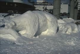
Image depicts a snow sculpture of a bear, possibly during the Winter City Conference, in Prince George, B.C. Taken at the Prince George Civic Center. Map coordinates 53°54'45.6"N 122°44'59.6"W
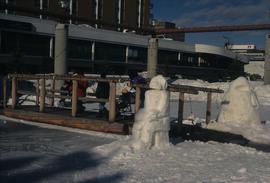
Image depicts two snow sculptures near a wooden bridge on an ice rink, possibly during the Winter City Conference, in Prince George, B.C. Taken at the Prince George Civic Center. Map coordinates 53°54'45.6"N 122°44'59.6"W
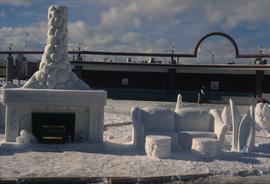
Image depicts a snow sculpted fire place and couch on a skating rink, possibly during the Winter City Conference, in Prince George, B.C. Taken at the Prince George Civic Center. Map coordinates 53°54'45.6"N 122°44'59.6"W
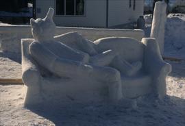
Image depicts a snow sculpture of the Mr. P.G. lounging on a couch, possibly during the Winter City Conference, in Prince George, B.C. Taken at the Prince George Civic Center. Map coordinates 53°54'45.6"N 122°44'59.6"W
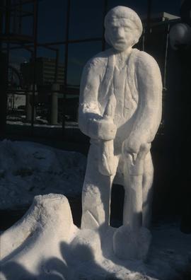
Image depicts a snow sculpture of a man with a shovel, possibly during the Winter City Conference, in Prince George, B.C. Taken at the Prince George Civic Center. Map coordinates 53°54'45.6"N 122°44'59.6"W
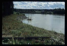
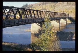
Image depicts the Northwood Bridge crossing in Prince George B.C.
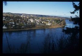
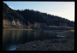
Image depicts downtown Prince George taken from across the Nechako River looking south. Map coordinates 53°56'00.0"N 122°44'29.7"W
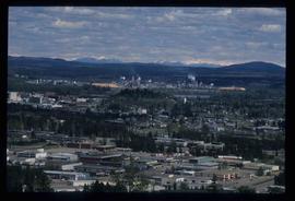
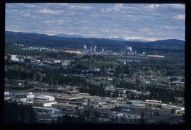
Image depicts the Northwood Pulpmill in Prince George, B.C. taken from above the Nechako River looking east. Map coordinates 53°56'00.0"N 122°44'29.7"W
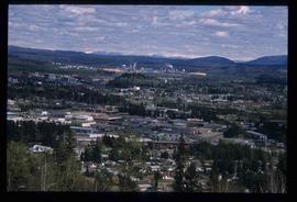
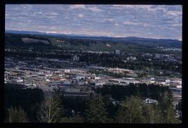
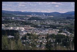
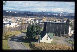
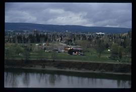
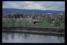
Image depicts Prince George from University Way, with the P.G.I. Pulp Mill in the distance.
Image depicts Prince George from University Way, with the P.G.I. Pulp Mill in the distance.
Image depicts Prince George from University Way, with the P.G.I. Pulp Mill in the distance.
Image depicts Prince George, with the picture looking North-Northeast from University Way.
Image depicts Prince George from University Way, with the P.G.I pulp mill in the distance.
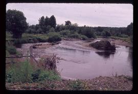
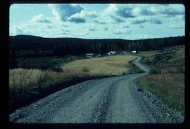
Image depicts Mud River, also known as the Chilako River, at Blackwater Road, Prince George, B.C.
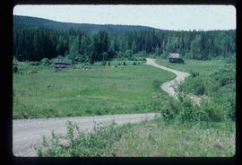
Image depicts a house on Blackwater Road.
Image depicts an abandoned cabin and shed on Blackwater Road.
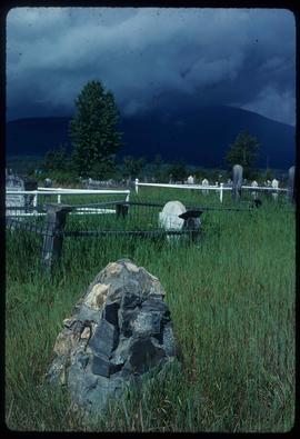
Image depicts a cemetery in the South Fort George suburb of Prince George, B.C.
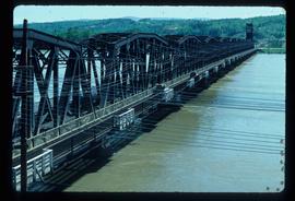
Image depicts a bridge in Prince George, B.C.
Image depicts a bridge in Prince George, B.C.
Image depicts a bridge in Prince George, B.C.
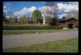
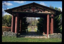
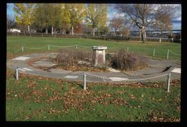
Image depicts the Lheidli T'enneh Burial Grounds in Fort George Park.
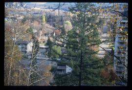
Image depicts a view of Prince George from an uncertain location.
Image depicts an uncertain street in Prince George, B.C.
Image depicts Prince George with numerous trees obscuring most of the view.
Image depicts Prince George.
Image depicts the Lheidli T'enneh Burial Grounds in Fort George Park.
Image depicts the Lheidli T'enneh Burial Grounds in Fort George Park.
Image depicts the Lheidli T'enneh Burial Grounds in Fort George Park.
Image depicts the Fraser River at Paddlewheel park, with a train on the other side of the river, in Prince George B.C.
Image depicts the Fraser River at Paddlewheel park, with a train on the other side of the river, in Prince George B.C.
Image depicts a view of Prince George.
Image depicts a view of Prince George.
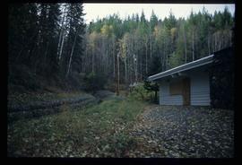
Image depicts the Ginter House and the surrounding woods, in Prince George, B.C.
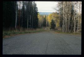
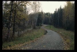
Image depicts a road near the Ginter House in Prince George, B.C.
Image depicts a road near the Ginter House in Prince George, B.C.
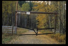
Image depicts a private driveway, most likely leading to the Ginter Property in Prince George, B.C.
File contains slides depicting Island Cache on Cottonwood Island in Prince George, B.C.
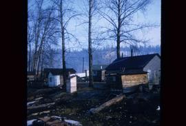
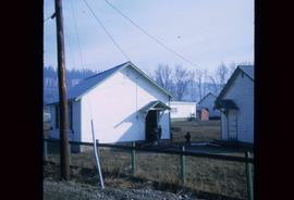
Image depicts a number of small houses at Island Cache.
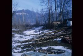
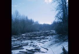
Image depicts some fallen trees at Island Cache.
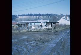
Image depicts a number of small houses at Island Cache.
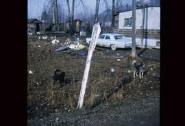
Image depicts two dogs and numerous chickens in a yard at Island Cache.
Image depicts the rubble of a demolished house at Island Cache, with several other buildings in the background.
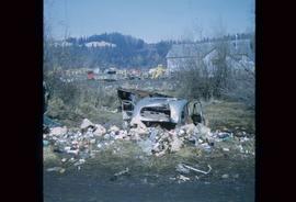
Image depicts a junk pile of bottles, cans and bags, as well as the gutted frame of an old car, at Island Cache.
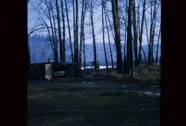
Image depicts a stand of trees and a shed at Island Cache.
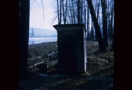
Image depicts what is likely an outhouse at Island Cache.
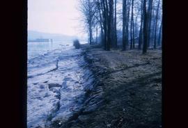
Image depicts the bank of the Nechako River at Island Cache.
Image depicts an area of cut trees at Island Cache.
Image depicts a clearing at Island Cache.
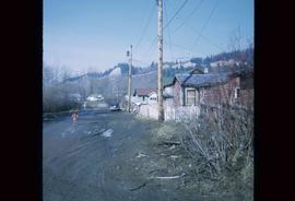
Image depicts numerous houses, and an unknown child standing in a street at Island Cache.
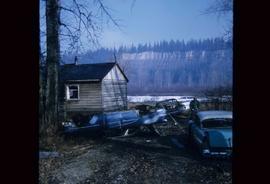
Image depicts several old, ruined cars and an unknown individual in Island Cache.
