2009.7.1.151
·
Item
·
[ca. 1878 - ca. 1915]
Parte de Archdeacon W. H. Collison fonds
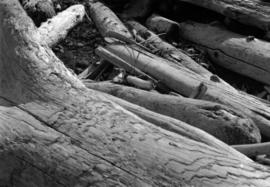
Photograph features a steep cliff across still water.
Handwritten annotation on verso reads: "Place of Scalps / Kincolith BC"