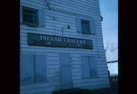
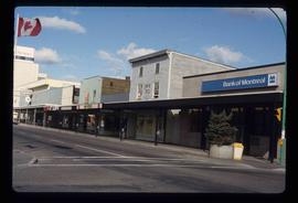
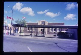
Image depicts a grocery store at Island Cache.
Image depicts the Javva Mugga Mocha Cafe in Prince George, B.C.
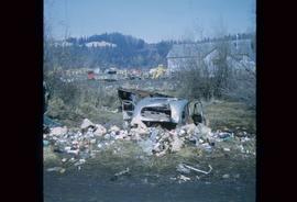
Image depicts a junk pile of bottles, cans and bags, as well as the gutted frame of an old car, at Island Cache.
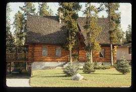
Image depicts a log house located somewhere on Kerry Street in Prince George, B.C.
Image depicts the King George V School in Prince George, which was demolished sometime around 2006 and Duchess Park Secondary School was built in its place.
Photograph depicts KLM Engineering Ltd. at 1924 3rd Avenue. Annotation on verso: "KLM c-7, Native Head Start program?".
Image depicts the La Tienda Hair and Nail Salon on an uncertain street somewhere in Prince George, B.C.
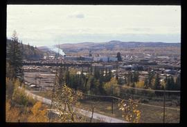
Image depicts the Lakeland Sawmill in Prince George, B.C, identified by the beehive burners; the one with white smoke belonged to Pas Lumber Co. which was bought out by Lakeland in 1987.
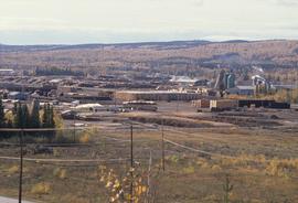
Image depicts the Lakeland Sawmill in Prince George, B.C.
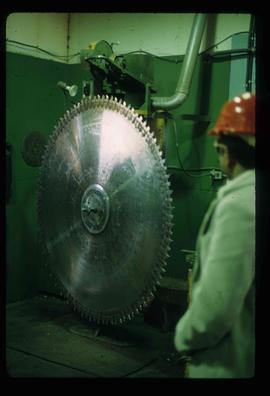
Image depicts a large saw at an indoor location, likely in a saw mill somewhere in Prince George, B.C.
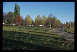
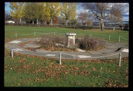
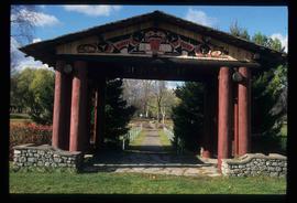
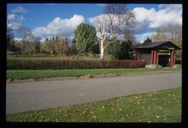
Image depicts the Lheidli T'enneh Burial Grounds in Fort George Park.
Image depicts the Lheidli T'enneh Burial Grounds in Fort George Park.
Image depicts the Lheidli T'enneh Burial Grounds in Fort George Park.
Image depicts the Lheidli T'enneh Burial Grounds in Fort George Park.
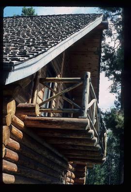
Image depicts the balcony of a log house, likely somewhere in or near Prince George B.C.
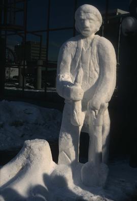
Image depicts a snow sculpture of a man with a shovel, possibly during the Winter City Conference, in Prince George, B.C. Taken at the Prince George Civic Center. Map coordinates 53°54'45.6"N 122°44'59.6"W
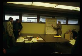
Image depicts a man holding up a board which appears to have maps of the Cottonwood Park on it.
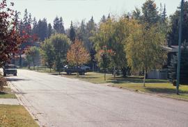
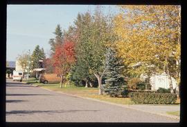
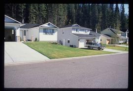
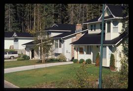
Image depicts a view of the Millar Addition suburb in Prince George, B.C.
File contains slides depicting the Millar Addition suburb in Prince George, B.C.
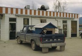
Image depicts a dog and dog house in the back of a pick-up somewhere near Prince George, B.C.
File contains slides depicting logging and equipment. Most appear to be locations around Prince George.
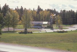
Image depicts Mr. P.G. and the Tourism Information site at the intersection of Highway 16 and 97. Map coordinates 53°53'46.5"N 122°46'00.7"W
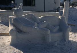
Image depicts a snow sculpture of the Mr. P.G. lounging on a couch, possibly during the Winter City Conference, in Prince George, B.C. Taken at the Prince George Civic Center. Map coordinates 53°54'45.6"N 122°44'59.6"W
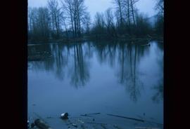
Image depicts a body of water in Island Cache. It is possibly a small section of the Nechako River.
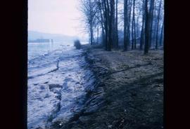
Image depicts the bank of the Nechako River at Island Cache.
Image depicts a subdivision of Prince George, B.C.
Image depicts the Nechako Subdivision in Prince George, B.C.
Image depicts a neighbourhood on North Meadows Road in Prince George, B.C.
Image depicts a neighbourhood on North Meadows Road in Prince George, B.C.
Image depicts the north side of 3rd Ave in Prince George, B.C.
Image depicts the Canadian Forces Recruiting Centre on the north side of 3rd Ave in Prince George, B.C.
Photograph depicts Northern Hardware at 1386 3rd Avenue.
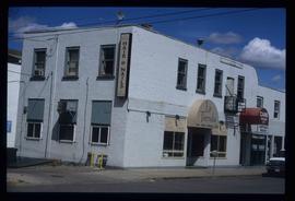
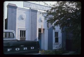
Image depicts an old building with a sign labelled "Northern Rooms" in an uncertain location somewhere in Prince George, B.C.
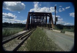
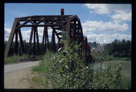
Image depicts the Northwood Bridge in Prince George, B.C.
Image depicts the Northwood Bridge in Prince George, B.C.
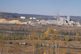
Image depicts the Northwood pulpmill in Prince George B.C.
Image depicts the Northwood pulpmill in Prince George B.C.
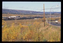
Image depicts the Northwood Pulpmill in Prince George, B.C. taken from above the Nechako River looking east. Map coordinates 53°56'00.0"N 122°44'29.7"W
Image depicts the Northwood pulpmill in Prince George B.C.
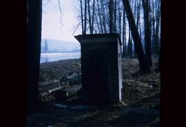
Image depicts what is likely an outhouse at Island Cache.
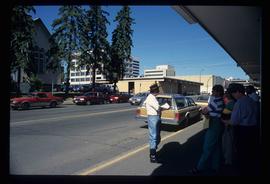
Image depicts a group of individuals on the sidewalk outside Spee-Dee Printers on Brunswick Street in Prince George, B.C.
Photograph depicts a parking lot and alleyway behind the Europe Hotel on 3rd Avenue.
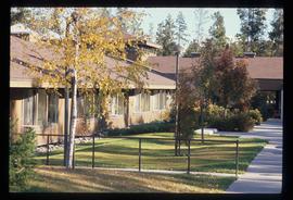
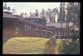
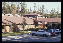
Image depicts Parkside Intermediate Care Home on Ospika Boulevard in Prince George. Map coordinates 53°55'02.6"N 122°47'41.6"W
Image depicts Parkside Intermediate Care Home on Ospika Boulevard in Prince George. Map coordinates 53°55'02.6"N 122°47'41.6"W
Image depicts Parkside Intermediate Care Home on Ospika Boulevard in Prince George. Map coordinates 53°55'02.6"N 122°47'41.6"W
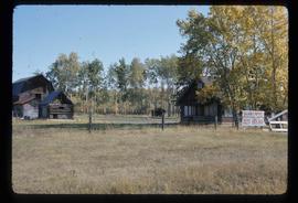
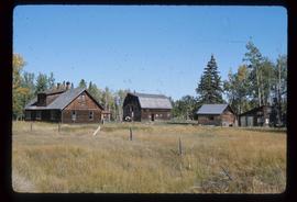
Image depicts the Pearson Homestead.
Image depicts the Pearson Homestead.
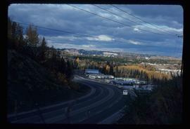
Image depicts a view of Peden Hill in Prince George, B.C.
File contains slides depicting the growth of Prince George.
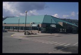
Image depicts the Prince George Multiplex.
