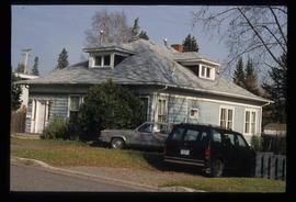
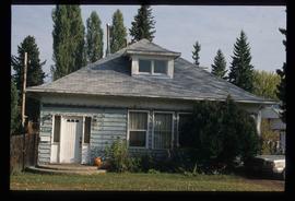
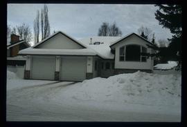
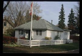
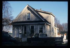
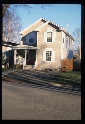
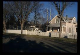
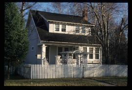
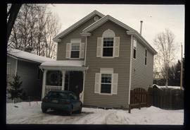
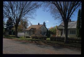
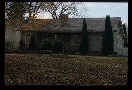
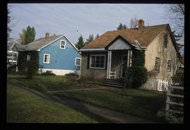
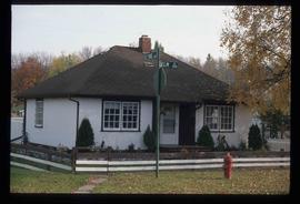
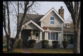
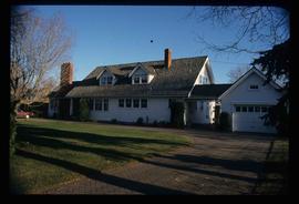
Image depicts 1566 Ingledew Street in Prince George, B.C.
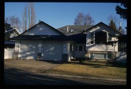
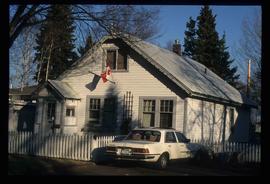
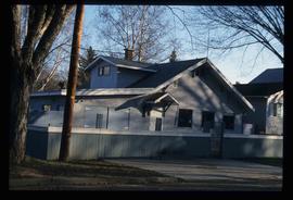
Image depicts Ash Street and Patricia Boulevard in Prince George, B.C.
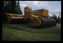
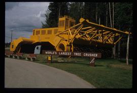
Image depicts an individual standing next to the world's largest tree crusher in Mackenzie, B.C.
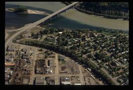
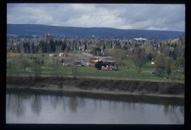
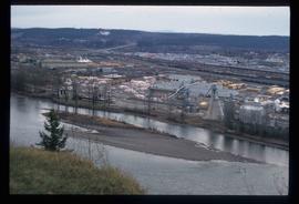
Image depicts the Northwood Pulpmill in Prince George, B.C. taken from above the Nechako River looking east. Map coordinates 53°56'00.0"N 122°44'29.7"W
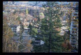
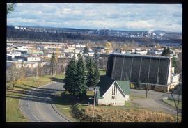
Image depicts a view of Prince George from an uncertain location.
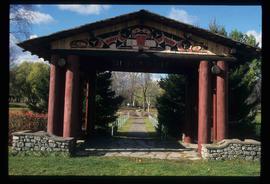
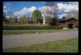
Image depicts the Lheidli T'enneh Burial Grounds in Fort George Park.
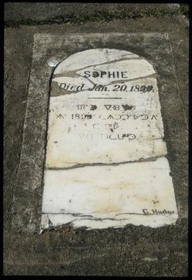
Image depicts a grave-marker in the Lheidli T'enneh Burial Grounds in Fort George Park.
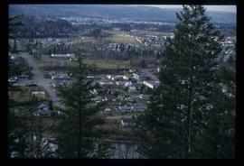
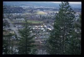
Image depicts a view of Prince George.
Image depicts a view of Prince George.
Image depicts a sawmill in Prince George, B.C.
Image depicts 1566 Ingledew Street in Prince George, B.C.
Image depicts 1480 Birch Street in Prince George, B.C.
Image depicts the world's largest tree crusher in Mackenzie, B.C.
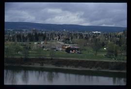
Image depicts Prince George Sawmill taken from across the Nechako River looking southwest. Map coordinates 53°56'00.0"N 122°44'29.7"W
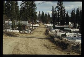
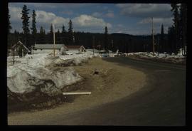
Image depicts some buildings along a dirt road, possibly near Bear Lake, B.C.
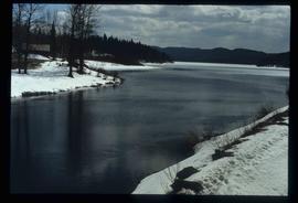
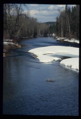
Image depicts a river, possibly near Bear Lake, B.C.
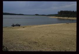
Image depicts a truck parked on a beach in Mackenzie, B.C.
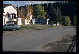
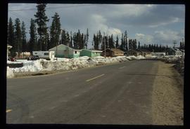
Image depicts an uncertain street in Prince George, B.C.
Image depicts the Lheidli T'enneh Burial Grounds in Fort George Park.
Image depicts a view of Prince George.
Image depicts 1480 Birch Street in Prince George, B.C.
Image depicts some of the 1445 Elm Street and 1425 Elm Street houses in the Millar Addition neighbourhood of Prince George, B.C.
Image depicts 1690 Dogwood Street, on the corner of 17th Ave and Dogwood St. in Prince George, B.C. Also depicts a portion of 1670 Dogwood Street at left.
Image depicts a view of the Millar Addition suburb from Connaught Hill in Prince George, B.C.
Image depicts 1532 Fir Street in Prince George, B.C.
Image depicts 1598 Fir Street in Prince George, B.C.
Image depicts 1488 Gorse Street in Prince George, B.C.
Image depicts 1386 Ingledew Street in Prince George, B.C.
Image depicts 1354 Ingledew Street in Prince George, B.C.
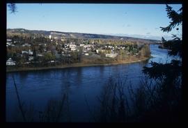
Image depicts downtown Prince George taken from across the Nechako River looking south. Map coordinates 53°56'00.0"N 122°44'29.7"W
Image depicts downtown Prince George taken from across the Nechako River looking south. Map coordinates 53°56'00.0"N 122°44'29.7"W
Image depicts Prince George Sawmill taken from across the Nechako River looking southwest. Map coordinates 53°56'00.0"N 122°44'29.7"W
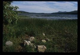
Image depicts McLeod Lake.
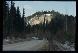
Image depicts a road, forest, and hill rise in an uncertain location possibly near Red Rock, B.C.
Image depicts some houses in Bear Lake, B.C.
Image depicts some houses most likely in Bear Lake, B.C.
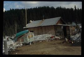
Image depicts a shack, possibly near Bear Lake, B.C.
Image depicts a river, possibly near Bear Lake, B.C.
Image depicts Prince George with numerous trees obscuring most of the view.
Image depicts Prince George.
Image depicts the Fraser River at Paddlewheel park, with a train on the other side of the river, in Prince George B.C.
Image depicts a view of Prince George.
Image depicts 1598 Fir Street in Prince George, B.C.
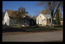
Image depicts 1465 Elm Street, 1445 Elm Street, and 1425 Elm Street in the Millar Addition neighbourhood of Prince George, B.C.
Image depicts 1425 Taylor Drive in Prince George, B.C.
Image depicts 1650 Dogwood Street and 1670 Dogwood Street in the Millar Addition neighbourhood in Prince George, B.C.
Image depicts a property given to the Veterans of the Second World War, located on the corner of 15th Avenue and Elm Street in Prince George, B.C.
Image depicts 1510 Fir Street in Prince George, B.C.
Image depicts 1590 Fir Street in Prince George, B.C.
Image depicts 135 Patricia Boulevard in Prince George, B.C.
