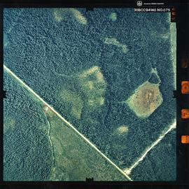
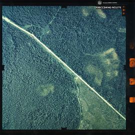
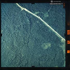
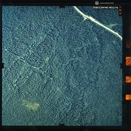
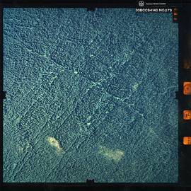
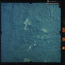
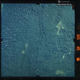
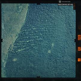
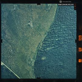
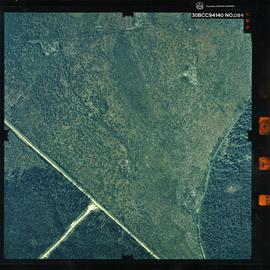
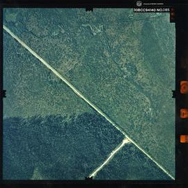
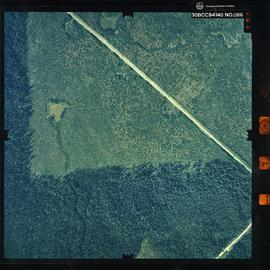
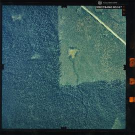
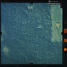
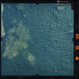
Photograph is a remote-sensing image of the Aleza Lake Research Forest from 1994.
Photograph is a remote-sensing image of the Aleza Lake Research Forest from 1994.
Photograph is a remote-sensing image of the Aleza Lake Research Forest from 1994.
Photograph is a remote-sensing image of the Aleza Lake Research Forest from 1994.
Photograph is a remote-sensing image of the Aleza Lake Research Forest from 1994.
Photograph is a remote-sensing image of the Aleza Lake Research Forest from 1994.
Photograph is a remote-sensing image of the Aleza Lake Research Forest from 1994.
Photograph is a remote-sensing image of the Aleza Lake Research Forest from 1994.
Photograph is a remote-sensing image of the Aleza Lake Research Forest from 1994.
Photograph is a remote-sensing image of the Aleza Lake Research Forest from 1994.
Photograph is a remote-sensing image of the Aleza Lake Research Forest from 1994.
Photograph is a remote-sensing image of the Aleza Lake Research Forest from 1994.
Photograph is a remote-sensing image of the Aleza Lake Research Forest from 1994.
Photograph is a remote-sensing image of the Aleza Lake Research Forest from 1994.
Photograph is a remote-sensing image of the Aleza Lake Research Forest from 1994.
Item is a copy of "Air Photo Interpretation Photo Interpretive elements" by T. Lewis and Joan Sawicki.
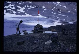
Image depicts a marker for aerial photography at an uncertain location. The slide labels it as "Elizabeth Station."
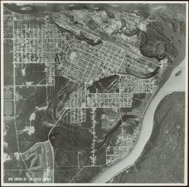
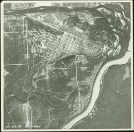
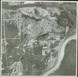
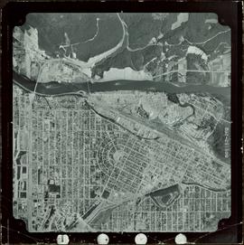
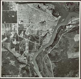
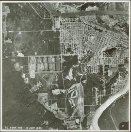
Item is a photograph of Prince George taken from the air.
Item is a photograph of Prince George taken from the air.
Item is a photograph of Prince George taken from the air.
Item is a photograph of Prince George taken from the air on August 2, 1965.
Item is a photograph of Prince George taken from the air.
Item is a photograph of Prince George taken from the air.
In July 2009, Dr. Paul Sanborn undertook the first soils field research at the Fort Selkirk volcanic field in central Yukon, with helicopter support and funding from the Yukon Geological Survey. This file consists of prints of aerial photographs that depict the area accessed for the study, upstream from the confluence of the Yukon River and the Pelly River.
Air photographs include:
Flight line A17210, Photo Nos. 54-60 (taken 1960)
Flight line A22354, Photo Nos. 43-45, 47-48 (taken 1971)
Flight line A27516, Photo Nos. 48-52 (taken 1989)
File consists of notes and reproductions relating to air photographs of Prince George. File predominantly consists of reproduced air photos and photocopied air photos from the Royal BC Museum and Archives depicting Prince George and region. Includes: "RE: Archive Photos Gd" printed email from Gabrielle Dupuis to Kent Sedgwick (17 Oct. 2000) and "Aerial photograph data sheet" reproduction of a data sheet (27 June 1978).
File consists of Air photos BC85019 no. 141-143, 197-198 and BC5249 no. 10, 12, and 29.
File consists of 10 air photos: BC85019 No. 111, 112, 140, 199 (CFS McGregor written on reverse), 200; BC77004 No. 199 (comment on reverse re location of tie point, 200; and 3 higher altitude air photos with no obvious label. Note that BC77004 No. 199 and 200 have MOF stamps on the reverse.
Item is an original reprint of an article by G.S. Andrews entitled "Air Survey and Photogrammetry in British Columbia" from the March 1948 issue of Photogrammetric Engineering journal.
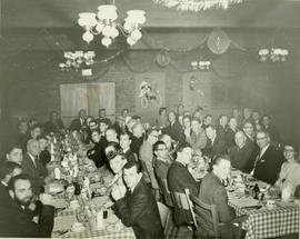
Photograph depicts a large group of people, primarily men, seated at a series of three tables in a decorated dining hall. Annotation on recto: "Air Survey Division Luncheon Christmas 1967".
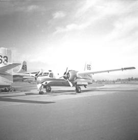
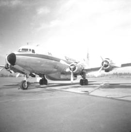
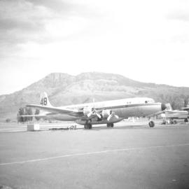
Photograph depicts air tanker fire base of the BC Forest Service. Manufactured by Conair Aviation Ltd.
Photograph depicts air tanker fire base of the BC Forest Service. Manufactured by Conair Aviation Ltd.
Photograph depicts air tanker fire base of the BC Forest Service. Manufactured by Conair Aviation Ltd.
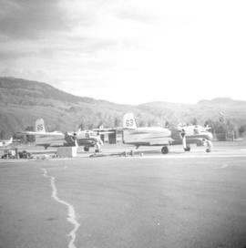
Photograph depicts an air tanker fire base of the BC Forest Service in Kamloops. Manufactured by Conair Aviation Ltd.
File contents relate to: Accounting / Payroll. Document type(s) include: carbon copies.
Aerial view, Yellowknife, Northwest Territories
Aerial view of river bend, Yukon Territory
File consists of documentary photographs taken by David Davies of 2/4 engine planes and air ships in British Columbia.
Aircraft - Airplanes.
Aircraft - Airplanes.
Aircraft - Airplanes.
Aircraft - Airplanes.
Aircraft - Airplanes.
Aircraft - Airplanes.
Aircraft - Airplanes.
Aircraft - Airplanes.
Aircraft - Airplanes.
Aircraft - Airplanes.
Aircraft - Airplanes.
Aircraft - Airplanes.
Aircraft - Airplanes.
