2012.13.1.52.19
·
Item
·
1980
Part of J. Kent Sedgwick fonds
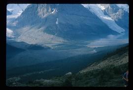
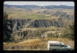
Image depicts a view of the eastern part of the upper Fraser Canyon.