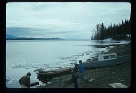
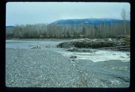
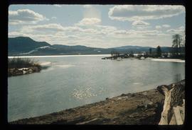
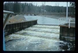
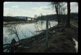
Mostrando 2440 resultados

Archival description
2097 resultados con objetos digitales Muestra los resultados con objetos digitales
Babine Lake
2012.13.1.51.045 · Item · May 1973
Parte de J. Kent Sedgwick fonds

Image depicts several unknown individuals on the shore of Babine Lake.

Granisle - Drill
2012.13.1.51.047 · Item · May 1973
Parte de J. Kent Sedgwick fonds

Image depicts a drill for blasting holes at a mine site somewhere in Granisle, B.C.

Upper Fraser Road in Winter
2012.13.1.89.016 · Item · Feb. 1973
Parte de J. Kent Sedgwick fonds

Image depicts several unidentified individuals walking along the snow-covered Upper Fraser Road with numerous buildings on either side. Map coordinates 54°07'05.7"N 121°56'38.9"W

Nautley Site
2012.13.1.51.030 · Item · May 1973
Parte de J. Kent Sedgwick fonds

Image depicts an old, collapsing house at the Nautley site in Fort Fraser, B.C.

Stewart Access Road
2012.13.1.51.036 · Item · May 1973
Parte de J. Kent Sedgwick fonds

Image depicts a man, possibly Kent Sedgwick, leaning against a sign forbidding public traffic on the Stewart Access Road from between 5 am to 8 pm. Located in Hazelton, B.C.

A Man and River
2012.13.1.56.04 · Item · 1973
Parte de J. Kent Sedgwick fonds

Image depicts a man on the hiking trail near Mt. Robson, with a river in the background; it is possibly the Robson River.

Camp
2012.13.1.56.40 · Item · 1973
Parte de J. Kent Sedgwick fonds

Image depicts a campsite somewhere near Berg Lake.

Kent Sedgwick and Glacier
2012.13.1.56.56 · Item · 1973
Parte de J. Kent Sedgwick fonds

Image depicts Kent Sedgwick pointing out what is possibly the Robson Glacier in the background. Another, unknown individual is also present in the image.