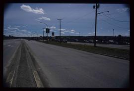
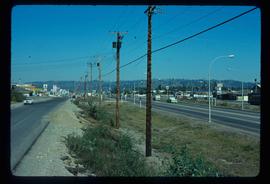
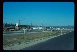
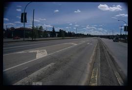
Image depicts a view along Highway 97 in Prince George, B.C.
Image depicts Highway 97 at 15th Ave. looking north. Map coordinates 53°54'36.0"N 122°46'55.5"W
Image depicts Highway 97 at 15th Ave. looking north. Map coordinates 53°54'42.1"N 122°46'53.1"W
Image depicts a section of Highway 97 looking south. Map coordinates 53°55'10.3"N 122°46'54.9"W
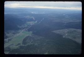
Image depicts an aerial view of Highway 97 just north of Williams Lake, B.C.
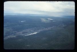
Image depicts an aerial view of the Williams Lake Airport along Highway 97, just north of Williams Lake, B.C.
File contains slides depicting Highway 97 South.
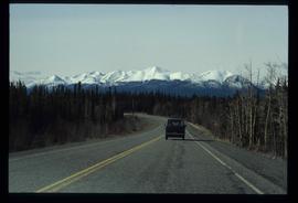
Image depicts a van on a highway with mountains in the distance; the location is uncertain, though it is possibly along the Alaska Highway.
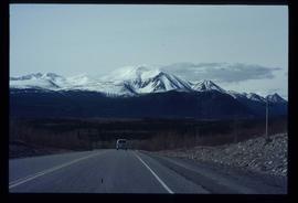
Image depicts a van on a highway with mountains in the distance; the location is uncertain, though it is possibly along the Alaska Highway.
File consists of notes, clippings, and reproductions relating to highway transportation in and around the Prince George area. Includes material regarding the Old Cariboo Highway; the Yellowhead Highway east; and Highway 97 north. Includes: "RE: Proposed Bridge at Isle Pierre" typescript letter from Kent Sedgwick to Ken Pedergast, District Manager (4 Oct. 1991) and "Year 2000 Calendar Bridges of BC" calendar for the year 2000 produced by Argentis (2000).
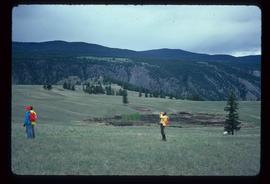
Image depicts a hiker with a camera taking pictures.
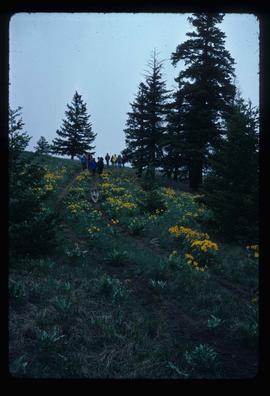
Image depicts a group of hikers and a dog walking down a hill.
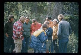
Image depicts a group of hikers standing on a slope.
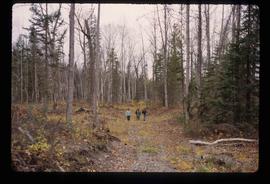
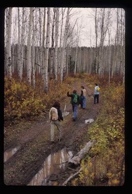
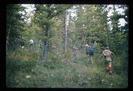
Image depicts four unknown individuals hiking along a path in the woods somewhere near Miworth, B.C.
Image depicts four unknown individuals hiking along a path in the woods somewhere near Miworth, B.C.
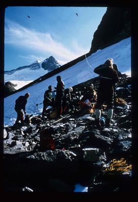
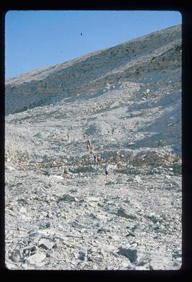
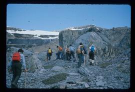
Image depicts a group of people hiking up a mountain side, possibly Mt. Robson.
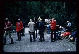
Image depicts a large group of individuals preparing to hike up Mt. Robson.
Image depicts a group of hikers somewhere in Mt. Robson Provincial Park.
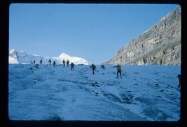
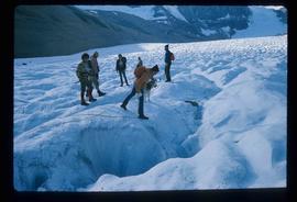
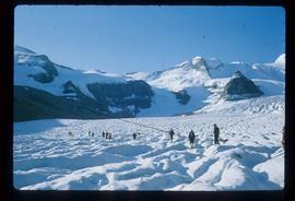
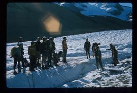
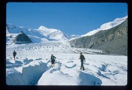
Image depicts a group of people hiking up a glacier, possibly the Robson Glacier.
Image depicts a group of people hiking on a glacier, possibly the Robson Glacier.
Image depicts a group of people hiking on a glacier, possibly the Robson Glacier.
Image depicts a group of people hiking on a glacier, possibly the Robson Glacier.
Image depicts a group of people hiking on a glacier, possibly the Robson Glacier.
Image depicts a group of people hiking through trees somewhere in Mt. Robson Provincial Park.
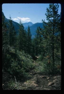
Image depicts a hiking trail through the trees.
The item is a photograph depicting a hiking trail West of Osprey Rd. in BC. Annotation on the reverse side of the photograph states, "W. of Osprey Rd."
Image depicts a group of hikers hiking up a slope.
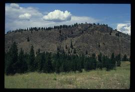
Image depicts a hill in kettle Valley B.C.
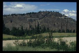
Image depicts a hill and some power lines in Kettle Valley, B.C.
File consists of notes, clippings, and reproductions relating to historic trails in British Columbia. Includes material on The Okanagan Brigade Trail; the exploration trails of Jean Caux (better known as Cataline); and Hudson's Bay Company brigade trails. Includes: "The Okanagan Brigade Trail" pamphlet from the Okanagan Historical Society (1986); "The Okanagan Brigade Trail in the South Okanagan" pamphlet by Bob Harris, Harley Hatfield, and Peter Tassie (1989); and "Historic Routes '82" symposium program (1982).
File consists of notes and reproductions relating to historical geography methodology.
File consists of notes, clippings, and reproductions relating to the medical history of Prince George. Includes the following clipped articles from the Prince George Citizen newspaper: "From a missionary to state-of-the-art" (July 1986); "Medical practice seen from inside" (May 2007); "Hospital services: the post war era" (June 2004); "Northerners sought hospital expansion" (Jan. 2001); and "The growing need for a local hospital" (Dec. 1999). Also includes photographs depicting the first hospital in Prince George at 1584 8th avenue.
File consists of clippings, notes, and reproductions relating to research on the history of Prince George. Includes: "The Downtown Streets of Prince George: A 'City Beautiful' Plan" typed document by Kent Sedgwick (7 Oct. 1991); "Cairn at millennium park" typed document by Kent Sedgwick (Mar. 2000); and a "Fort George Railway" brochure written by Kent Sedgwick (May 1988).
File consists of notes, clippings, and reproductions relating to the fur trade in British Columbia by the Hudson's Bay Company. Includes material on the fur trade route in the Peace Canyon, Athabasca Pass, and the Yellowhead Pass, as well as "Fur Trade Routes through the Canadian Cordillera" typed notes by Kent Sedgwick. File primarily consists of Kent Sedgwick's handwritten notes on the fur trade routes.
The item is a map depicting the area surrounding the Hixon area in the Cariboo District. There are various annotations in pen and highlighted boundaries.
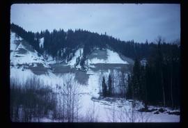
Image depicts a view of the scenery near Hixon, B.C.
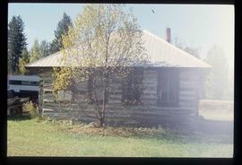
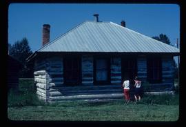
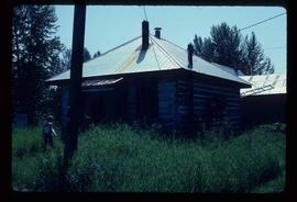
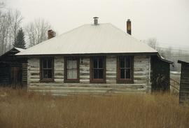
Image depicts an old building, possibly the old school, somewhere in Hixon, B.C.
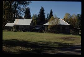
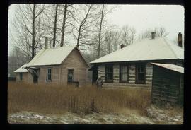
Image depicts a few buildings, possibly an old school and teacherage, in Hixon, B.C.
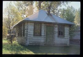
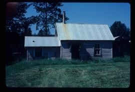
Image depicts an old building, possibly the old teacherage, somewhere in Hixon, B.C.
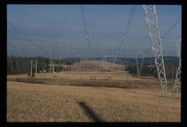
Image depicts the power lines in the Hixon area south of Prince Georg, B.C.
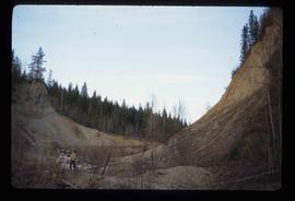
Image depicts an area of placer mining at Hixon Creek in Hixon, B.C.
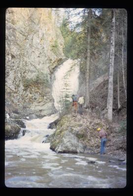
Image depicts several people standing near the Hixon Falls in Hixon, B.C.
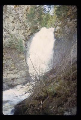
Image depicts the Hixon Falls in Hixon, B.C.
Image depicts the Hixon School.
Image depicts the Hixon School.
Image depicts the Hixon School building in Hixon, B.C.
Image depicts the Hixon School and teacherage buildings in Hixon, B.C.
Image depicts the Hixon School Teacherage.
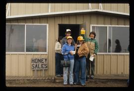
Image depicts several unidentified individuals standing in front of a store selling honey.
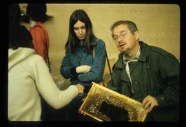
Image depicts an unidentified man holding what appears to be a broken screen of honeycombs. The group is likely at an educational event.
