File contains slides depicting recreational activities on Tabor Mountain in Prince George, B.C.
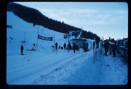
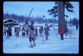
Image depicts numerous skiers standing near a finish line somewhere on Tabor Mountain in Prince George, B.C.
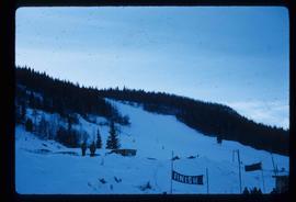
Image depicts the slopes of Tabor Mountain in Prince George, B.C.
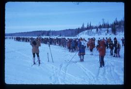
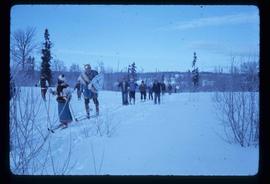
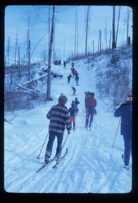
Image depicts a long line of people cross country skiing somewhere on Tabor Mountain in Prince George, B.C.
Image depicts a long line of people cross country skiing along the Birchleg route on Tabor Mountain in Prince George, B.C.
Image depicts a skier in a costume with a fake sword, somewhere on the Birchleg Ski route on Tabor Mountain in Prince George, B.C.
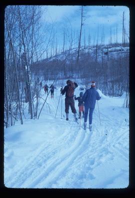
Image depicts numerous skiers on the Birchleg Ski route on Tabor Mountain in Prince George, B.C.
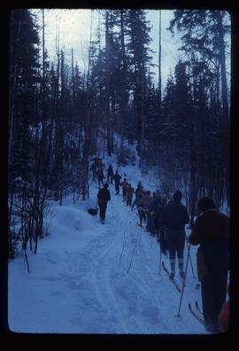
Image depicts numerous skiers cross-country skiing on a trail through trees on the Birchleg Ski route on Tabor Mountain in Prince George, B.C.
Image depicts numerous skiers cross-country skiing on a trail through trees on the Birchleg Ski route on Tabor Mountain in Prince George, B.C.
Image depicts numerous skiers on the Birchleg Ski route on Tabor Mountain in Prince George, B.C.
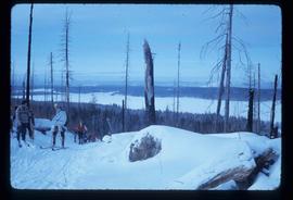
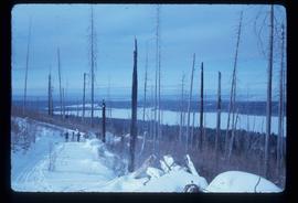
Image depicts a view of the area around Tabor Mountain in Prince George, B.C.
Image depicts a view of the area around Tabor Mountain in Prince George, B.C.
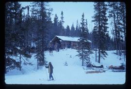
Image depicts numerous skiers at the cabin located at Troll Lake on Tabor Mountain in Prince George, B.C.
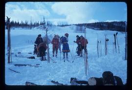
Image depicts numerous skiers and skis that are standing upright in in the snow on Tabor Mountain in Prince George, B.C.
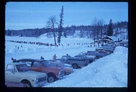
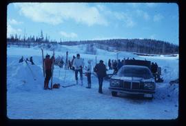
Image depicts a vehicle and a large group of skiers somewhere on Tabor Mountain in Prince George, B.C.
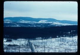
Image depicts a view of Tabor Mountain in Prince George, B.C.
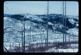
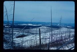
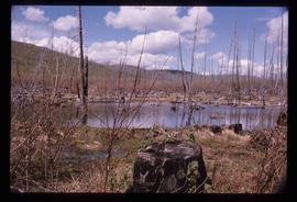
Image depicts a forest of dead trees on the slopes of Tabor Mountain in Prince George, B.C.
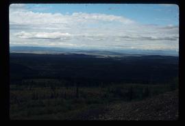
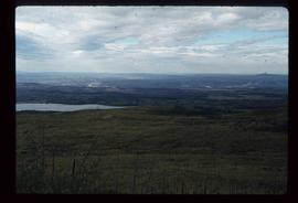
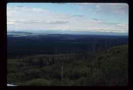
Image depicts the area surrounding Tabor Mountain. Prince George is slightly visible in the background.
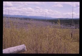
Image depicts a view of the landscape surrounding Tabor Mountain in Prince George, B.C.
Image depicts the area surrounding Tabor Mountain. Prince George is slightly visible on the left side of the image in the background.
Image depicts a view of the landscape surrounding Tabor Mountain in Prince George, B.C.
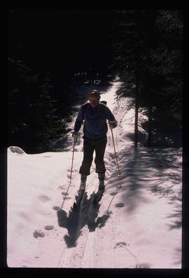
Image depicts an unidentified man cross country skiing somewhere on Tabor Mountain in Prince George, B.C.
Image depicts a forest of dead trees on the slopes of Tabor Mountain in Prince George, B.C.
Image depicts a forest of dead trees on the slopes of Tabor Mountain in Prince George, B.C.
File contains slides depicting vegetation and a few maps.
File contains slides depicting the opening of the Cottonwood Park section of the Heritage River Trails in Prince George, B.C.
Image depicts a the Cottonwood Island Nature Park sign and map in Prince George, B.C.
Image depicts a the Cottonwood Island Nature Park sign and map in Prince George, B.C.
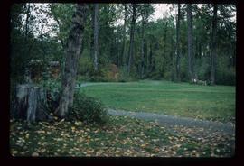
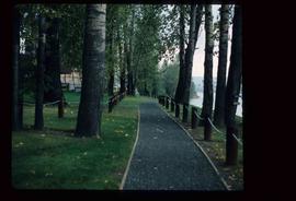
Image depicts a section of the Heritage Trail in Cottonwood Park.
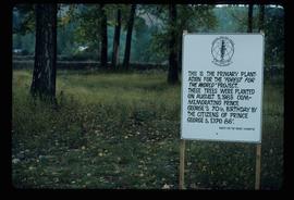
Image depicts a group of trees in the Cottonwood Park, with a sign which reads: "This is the primary plantation for the 'Forest for the World' project. These trees were planted on August 5, 1985, commemorating Prince George's 70th birthday by the citizens of Prince George & Expo 86'."
Image depicts a section of the Heritage Trail on Cottonwood Island in Prince George, B.C.
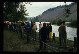
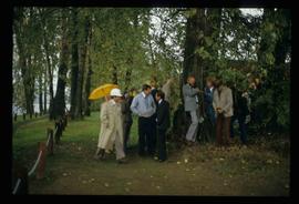
Image depicts a large crowd of people on a section of the Heritage Trail on Cottonwood Island in Prince George, B.C.
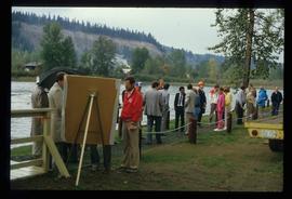
Image depicts a crowd of people on a section of the Heritage Trail on Cottonwood Island in Prince George, B.C.
Image depicts a crowd of people in Cottonwood Park in Prince George, B.C.
File contains slides depicting scenery at various locations.
File consists of photographs separated from other boxes and subseries depicting downtown Prince George, historic Prince George, the North Thompson region, Fort St. James historic site, Brooks, Alberta, Sinclair Mills, and Soda Creek.
File consists of a printed email correspondence between Ramona Rose, Florence Smith, and Sue Sedgwick regarding an additional donation of photographic negatives. The file includes photographs depicting photographs of Knox United Church and historic Prince George.
File consists of notes, clippings, and reproductions relating to the South Fort George townsite. Includes "Name change from Glenora Park to Paddlewheel Park" typescript letter from Kent Sedgwick to The Mayor and Council (12 Sept. 1988).
File consists of a photocopy of "Note on the distribution of some of the more important trees of British Columbia" by George Dawson, circa 1880.
File consists of a pamphlet titled "The Fort Fraser-Fort George Bulletin Area" prepared by the Department of Lands, Forests, and Water Resources from the Province of British Columbia.
File consists of notes, clippings, and reproductions relating to the Grand Canyon of the Fraser River. The Grand Canyon of the Fraser is a short gorge on the upper Fraser River, about 6 kilometres south-southwest of Hutton. The canyon head was about 171 kilometres by river from Fort George, and is about 100 kilometres due east of downtown Prince George.
File consists of notes, clippings, and reproductions relating to historical agriculture in Prince George. Includes material on the Prince George Farmer's Institute; experimental plots surrounding Prince George; farming in areas surrounding Prince George including Pineview, Mud River, and Blackburn; ranching; gardening; and the Prince George Experimental Farm. Includes: "Moose in British Columbia, Canada" an educational pamphlet from the Fish and Wildlife Branch of the Department of Recreation and Conservation in British Columbia.
File consists of notes, clippings, and reproductions relating to dairying and dairy farming in Prince George. Includes material on Harry Moffat; cattle in Mud River; Mr. Hewlett and Centralia Dairy (established in 1923); Interior Creamery, located at the corner of Brunswick and First Avenue; and pasteurization.
The item is a photograph depicting a garbage pile at the Railway Museum area prior to being built. Attached note on picture states, "Present location of Railway Museum. Infamous garbage pile dumped in Cottonwood Island Park by CNR. Circa 1978."
File consists of notes, clippings, and reproductions relating to British Columbia historical bibliographies and reference material. Includes: "Rural British Columbia: A Bibliography of Social and Economic Research" typescript document compiled by Dean S. Goard (1967); "Photo chronicler of B.C. a century ago" clipped article from Canadian Photography magazine (Feb. 1977); and "A Guide to British Columbia Stop of Interest Plaques" pamphlet by the Parks Branch of British Columbia (1969).
Subseries consists of materials collected by Kent Sedgwick for research on the geography and natural resources in Prince George and its region. Includes material on the natural resource industry, including the opening of the McArthur Sawmill, the W. Lamb and Sons Lumber Sawmill, and mining; photocopied aerial photographs of Prince George; the climate, temperatures, and flooding; and the geographical features of Prince George.
File consists of notes and reproductions relating to climate in Prince George. Includes: "Annual meteorology summary Prince George, B.C". document from Environment Canada (1989).
File consists of notes, clippings, and reproductions relating to the Prince George Rivers Committee. Includes: "Report of the Rivers Committee" spiral bound typescript reports submitted to City Council of the City of Prince George (26 Sept. 1983) and "Submission to Rivers Committee by Heritage Advisory Committee" typescript document by Kent Sedgwick (Apr. 1983).
File consists of notes, clippings, and reproductions relating to the central interior rainforest and the Ancient Forest/Chun T'oh Whudujut Provincial Park and Protected Area.
