Showing 54241 results
Archival description
Advanced Copy of a Map of the Queen Charlotte Islands
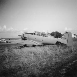
Advanced trainer "North Amercan (Aviation Co.) Texan"
Adventures in Duckburg (Short Stories)
Adventures in Duckburg (Short Stories)
Advertisement in The Pacific Monthly for Natural Resources Security Co. Ltd. property investment in Fort George
Advertisement in The Pacific Monthly for Natural Resources Security Co. Ltd. property investment in Fort George
Advisory Committee on Reconstruction Report, 1943
Advisory Committee on Reconstruction Report, 1943
Aeration and algae
Aeration and algae
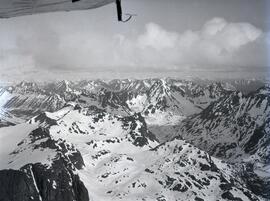
Aerial A
Aerial A
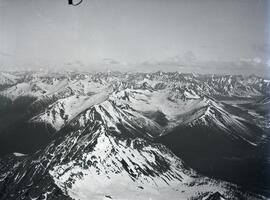
Aerial B
Aerial B
Aerial of Georges Farm
Aerial of Georges Farm
Aerial of Prince George? bridge
Aerial of Prince George? bridge
Aerial of Prince George? bridge in winter
Aerial of Prince George? bridge in winter
Aerial perspective
Aerial perspective
"Aerial Photo Interpretation on British Columbia Rangelands"
"Aerial Photo Interpretation on British Columbia Rangelands"
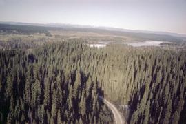
Aerial photograph of Aleza Lake Research Forest
Aerial photograph of Aleza Lake Research Forest
Aerial photograph of Aleza Lake Research Forest
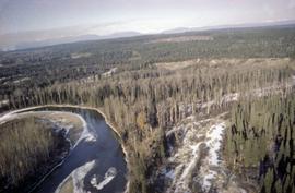
Aerial photograph of Aleza Lake Research Forest
Aerial photograph of Aleza Lake Research Forest
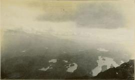
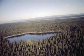
Aerial photograph of lakes and mountains
Aerial photograph of Scout Island Nature Centre, Williams Lake
Aerial photograph of Scout Island Nature Centre, Williams Lake
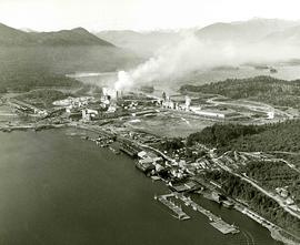
Aerial photograph of the Northwood Pulp Mill site in Prince George
Aerial photograph of the Northwood Pulp Mill site in Prince George

Aerial photograph of West Coast Trail at Carmanah Lighthouse

Aerial photograph of West Coast Trail at Nitinat Narrows

Aerial photograph of West Coast Trail at Tsusiat Falls

Aerial photograph of West Coast Trail at Tsusiat Falls

Aerial photograph of West Coast Trail at Tsusiat Point Hole in the Wall
Aerial photographs of rural Prince George
Aerial photographs of rural Prince George
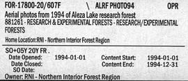
Aerial Photos from 1994 of Aleza Lake Research Forest
Aerial shot of Northwood Pulp and Timber Limited and Head Office
Aerial shot of Northwood Pulp and Timber Limited and Head Office
aerial view
aerial view
Aerial view from Sustut River toward Thutade Lake
Aerial view from Sustut River toward Thutade Lake
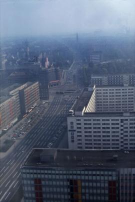
Aerial view of a city in East Germany
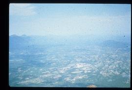
Aerial view of an unknown community overseas, hills visible in distance
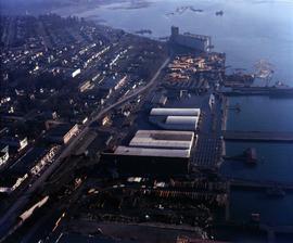
Aerial view of asbestos warehouse and wharf in proximity to residential area
Aerial view of asbestos wharf and warehouse from rear
Aerial view of asbestos wharf with warehouse and residential area
Aerial view of chip distribution system
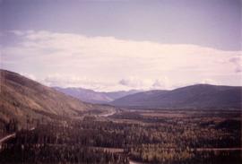
Aerial view of Clinton Creek area
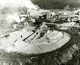
Aerial view of Clinton Creek mine
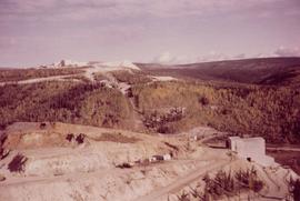
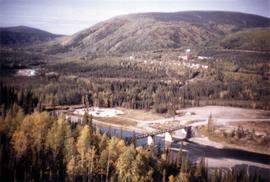
Aerial view of Clinton Creek plantsite
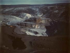
Aerial view of Clinton Creek quarry
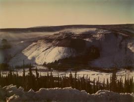
Aerial view of Clinton Creek quarry on mountain
Aerial view of Clinton Creek residential area
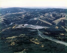
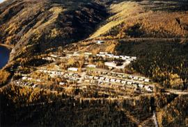
Aerial view of Clinton Creek townsite
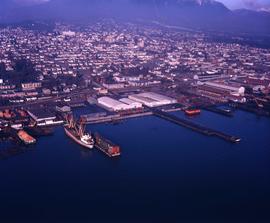
Aerial view of Columbia Cellulose Sulphite mill and Skeena Kraft mill
Aerial view of Dagenham looking south
Aerial view of Dagenham looking south
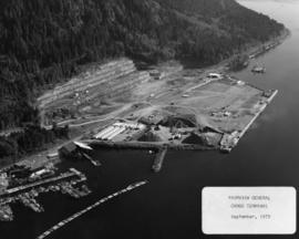
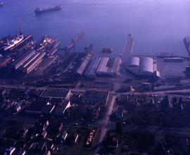
Aerial view of Fairview general cargo terminal
Aerial view of Finlay Falls below Thutade Lake

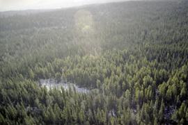
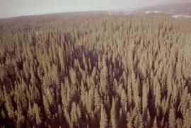
Aerial view of forest