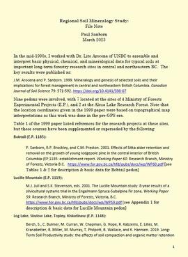
2023.2.2.1.3.8
·
File
·
2003-2010
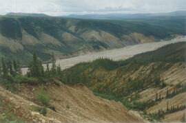
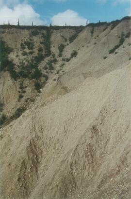
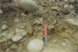
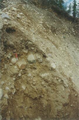
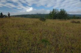
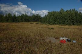
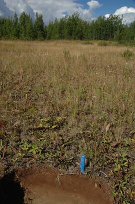
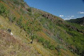
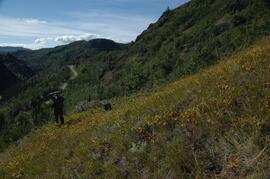
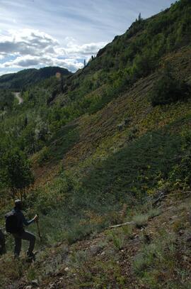
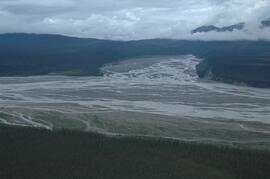
Part of Dr. Paul Sanborn fonds
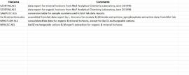
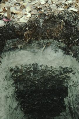
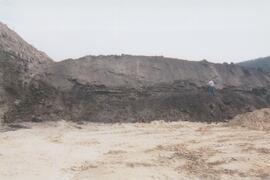
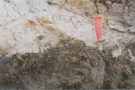
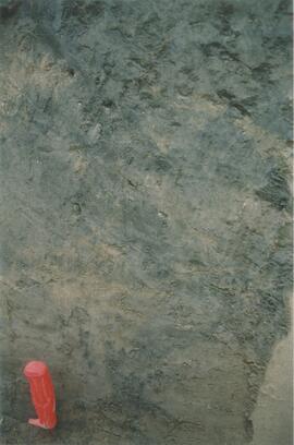
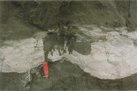
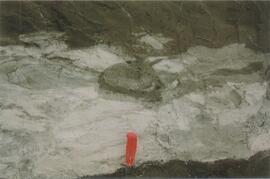
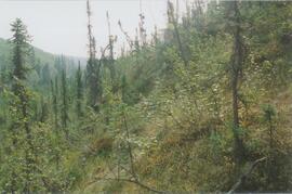
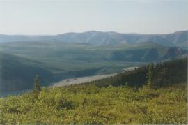
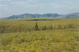
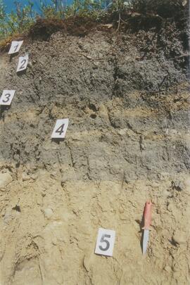
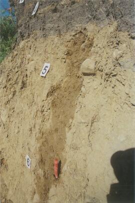
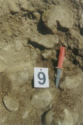
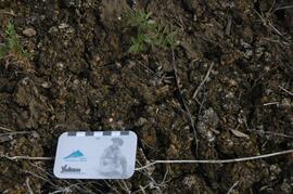
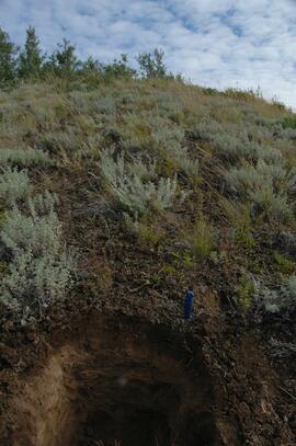
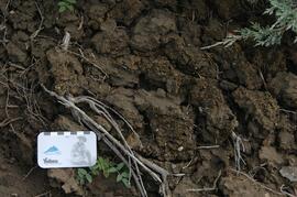
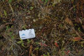
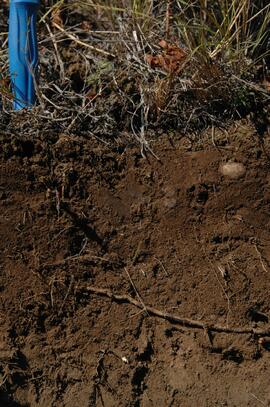
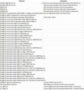
Data sets for the Sulphur stable isotope tracer study (E.P. 886.15) include:
- 03-095 UNBC PS-For.xls Particle size analyses (Kenneth Creek 0-20 & 20-40 cm)
- 03-096 UNBC PS-For.xls Particle size analyses (Holy Cross 0-20 & 20-40 cm)
- 082037.xls XRF elemental analysis (Holy Cross pedon)
- 082038.xls XRF elemental analysis (Kenneth Creek pedon)
- 084996.xlsx XRF elemental analysis (HC & KC parent materials)
- EP 886 15 S isotope data (2001-2005) - foliage_completed (Feb 18).xls Pine foliage d34S (total S & total SO4-S)
- EP 886.15 2003 Foliage & Soil Chemistry Summary.xls
- EP 886.15 Foliar Analyses (selected) 2001-2006.xls Total N & S, SO4-S
- EP 886.15 Holy Cross & Kenneth Creek 2005 foliage.xls
- EP 886.15 Holy Cross & Kenneth Creek 2006 foliage.xls
- EP 886.15 Holy Cross 2001 FH (S516FINL).xls
- EP 886.15 Holy Cross 2001 Foliage (T727FINL).xls
- EP 886.15 Holy Cross 2001 Litter (S515FINL).xls
- EP 886.15 Holy Cross 2001 Mineral Soil (0-20 cm) (S507FINL).xls
- EP 886.15 Holy Cross 2002 Foliage (T785FINL).xls
- EP 886.15 Holy Cross 2003 FH (S642FINL).xls
- EP 886.15 Holy Cross 2003 Foliage (T836FINL).xls
- EP 886.15 Holy Cross 2003 Litter (S641FINL).xls
- EP 886.15 Holy Cross 2003 Mineral Soil (0-20 cm) (S643FINL).xls
- EP 886.15 Holy Cross 2004 FH (S702FINL).xls
- EP 886.15 Holy Cross 2004 Foliage (T904FINL).xls
- EP 886.15 Holy Cross 2004 Litter (S701FINL).xls
- EP 886.15 Holy Cross 2004 Mineral Soil (0-20 cm) (S703FINL).xls
- EP 886.15 Kenneth Creek 2001 FH (S521FINL).xls
- EP 886.15 Kenneth Creek 2001 Foliage (T727FINL).xls
- EP 886.15 Kenneth Creek 2001 Litter (S520FINL).xls
- EP 886.15 Kenneth Creek 2001 Mineral Soil (0-20 cm) (S508FINL).xls
- EP 886.15 Kenneth Creek 2001 Mineral Soil (20-40 cm) (S509FINL).xls
- EP 886.15 Kenneth Creek 2002 Foliage (T785FINL).xls
- EP 886.15 Kenneth Creek 2003 FH (S645FINL).xls
- EP 886.15 Kenneth Creek 2003 Foliage (T837FINL).xls
- EP 886.15 Kenneth Creek 2003 Litter (S644FINL).xls
- EP 886.15 Kenneth Creek 2003 Mineral Soil (0-20 cm) (S646FINL).xls
- EP 886.15 Kenneth Creek 2003 Mineral Soil (20-40 cm) (S647FINL).xls
- EP 886.15 Kenneth Creek 2004 FH (S705FINL).xls
- EP 886.15 Kenneth Creek 2004 Foliage (T905FINL).xls
- EP 886.15 Kenneth Creek 2004 Litter (S704FINL).xls
- EP 886.15 Kenneth Creek 2004 Mineral Soil (0-20 cm) (S706FINL).xls
- EP 886.15 Kenneth Creek 2004 Mineral Soil (20-40 cm) (S707FINL).xls
- EP 886.15 Sample Inventory.xls Listing of MoF Lab Job No.'s
- Fertilizer March 2003.xls d34S data for commercial fertilizer S sources
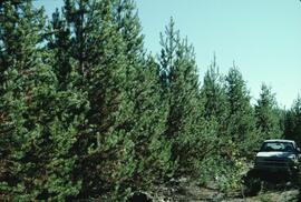
- hc_2002.xls Initial (2002) pine tree measurement data - Holy Cross
- kc_2002.xls Initial (2002) pine tree measurement data - Kenneth Creek