Affichage de 956 résultats
Archival description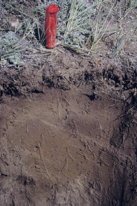
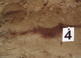
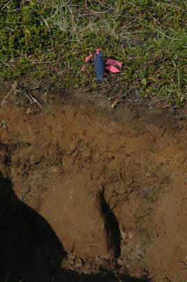
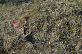
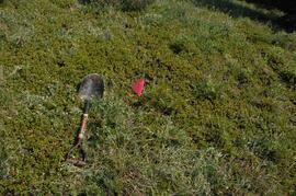
Y03-04 profile
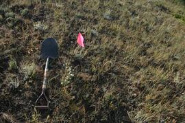
Y03-10 site
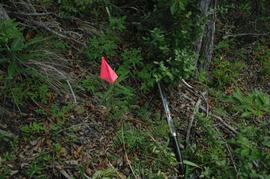
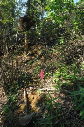
Y03-09 site
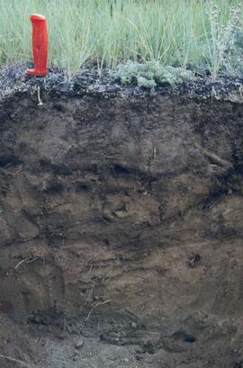
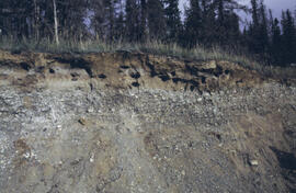
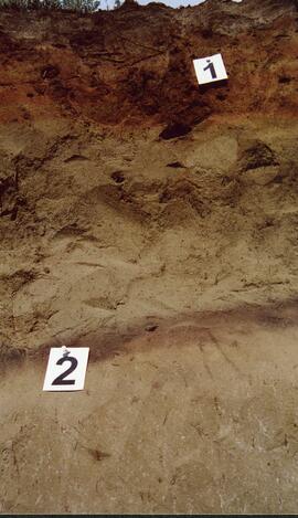
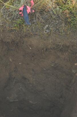
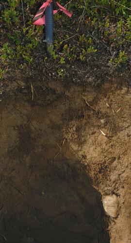
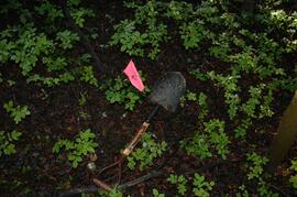
Y03-09 profile
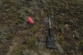
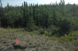
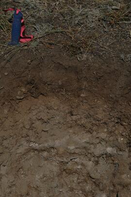
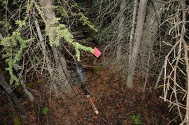
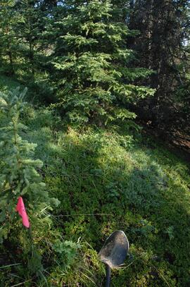
Y03-08

Lower Slims heavy sheep use area (detail)

Lower Slims heavy sheep use area

Lower Slims unburned grassland (detail)

Lower Slims unburned grassland
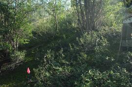
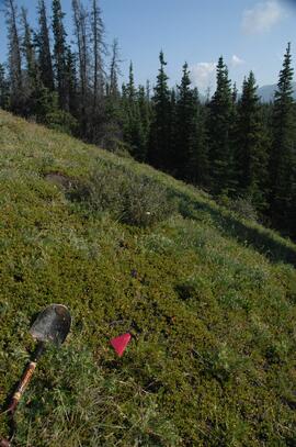
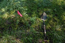
Y03-12
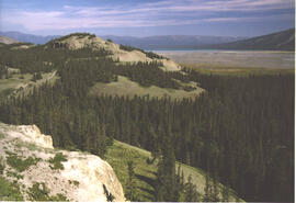
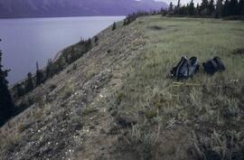
Lower Slims panorama
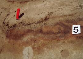
Silver City section (Y03-11) - soil 5
Silver City section (Y03-11) - soil 4
Silver City section (Y03-11) - soils 1 and 2
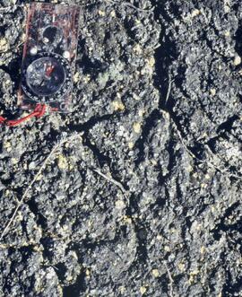
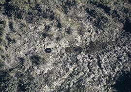
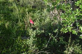
Cryptobiotic soil crust close-up
Cryptobiotic soil crust close-up
Y09-24 G15 surface
Y09-24 G25 surface
Y09-24-01 profile
Y09-24-06 G5 profile
Y09-27 site view to forest
Y09-27-01 crest surface
Y09-27-05 G20 surface
Y09-27-06 G25 site view

Y09-27-07 F5 site view
Y09-27-08 profile
Y09-27-10 F20 site view
Y09-28-01 profile
Y09-28-03 G20 surface
Y09-28-05 G40 surface
Y09-28-06 G50 surface
Y09-28-07 F10 site view
Y09-28-07 F10 surface
Y09-28-08 F20 site view
Y09-28-08 F20 surface
Y09-24 F15 surface

Lower Tuya River, facing downstream ~5 km above the Stikine River confluence
Untitled

Basalt flows, north side of Stikine River along Telegraph Creek Road
Untitled
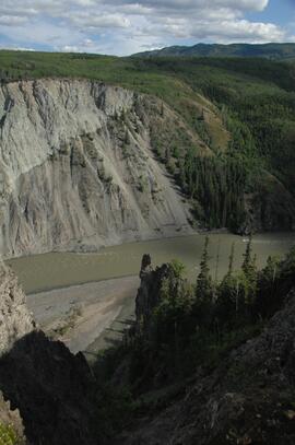
Stikine River, facing upstream ~8 km northeast of the Tuya River confluence
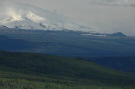
View west to Mt Edziza
Tuya River, facing downstream ~10 km above the Stikine River confluence

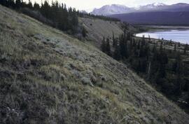
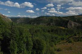
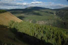
Forest-grassland mosaic, southeast side of Kluane Lake (north of Christmas Bay)

Forest-grassland mosaic, southeast side of Kluane Lake (north of Christmas Bay)
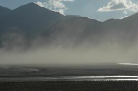
Dust storm over Slims River, upstream of Alaska Highway
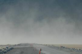
Dust storm over Slims River, obscuring Alaska Highway

Beetle-killed spruce forest, southeast side of Kluane Lake

Beetle-killed spruce forest and adjacent grassland, southeast side of Kluane Lake

South facing grasslands, ~1 km on Mt Nansen Road