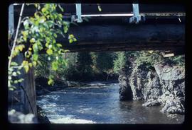
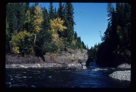
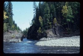
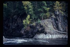
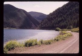
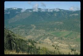
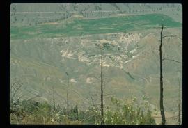
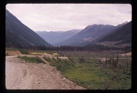
Image depicts the old, grown-over Cariboo Road at an uncertain location.
Image depicts buildings in the village community of Metlakatla, B.C.
Image depicts a river, possibly either the Nechako or the Fraser, and a mountain range from an unknown location.
Image depicts a lake, possibly Stuart Lake in Fort St. James, B.C.
Image depicts Blackwater River.
Image depicts a wooden structure at Gang Ranch. It is possibility an elevated water trough.
Image depicts a view of the property of the Gang Ranch.
Image depicts the Fraser River in the upper Fraser Canyon.
Image depicts an unknown woman on a road in the upper Fraser Canyon.
Image depicts the grave of W.L. Meason in the upper Fraser Canyon.
Image depicts Gang Ranch, with a sign warning that the area is patrolled by Range and Logging Patrols, in the Upper Fraser Canyon.
Image depicts Gang Ranch in the Upper Fraser Canyon.
Image depicts a couple of old buildings, and a field full of tree trunks and dead wood. Located somewhere in or around the Upper Fraser Canyon.
Image depicts a view of the Upper Fraser Canyon. The Fraser River is visible.
Image depicts the Fraser River running through the Upper Fraser Canyon.
Image depicts the Alkali Lake Ranch in Alkali Lake, B.C.
Image depicts a house and numerous rundown vehicles in Dog Creek, B.C.
Image depicts a house located somewhere in or near Canoe Creek.
Image depicts a view of Canoe Creek.
Image depicts several old buildings at an uncertain location. The slide is simply labelled "Spring house?"
Image depicts the Fraser River somewhere in the Lillooet area.
Image depicts the Fraser River near Lillooet, B.C.
Image depicts the Fraser River running through the Moran Canyon near Lillooet, B.C.
Image depicts a view of Kelly Lake in Downing Provincial Park.
Image depicts rows of water, possibly being irrigation ditches, somewhere in Lillooet, B.C.
Image depicts the Fraser River near Lillooet, B.C.
Image depicts two bridges over the Fraser River, located somewhere in Lillooet, B.C.
Image depicts a view of Moran Canyon in the Lillooet area.
Image depicts an old earth flow in Moran Canyon, somewhere in the Lillooet area.
Image depicts an old earth flow somewhere near Pavilion, B.C.
Image depicts a view of Cayoosh Valley.
Image depicts a view of Cayoosh Valley. Cayoosh Creek is visible in the bottom left corner of the image.
Image depicts the head of Lillooet Lake.
Image depicts the Duffey Lake Provincial Park.
Image depicts Cayoosh Creek.
Image depicts a road in Cayoosh Valley.
Image depicts Highway 99 north of Squamish, near Pemberton, B.C.
Image depicts the Nairn Falls in Nairn Falls Provincial Park south of Pemberton, B.C. There is an unknown child sitting on the rocks in the image.
Image depicts Highway 99 near Pemberton, B.C.
Image depicts a farm near Pemberton, B.C.
Image depicts a train in an uncertain location, though it is possibly Howe Sound in the background.
Image depicts a lake and a mountain in the distance. The location is uncertain.
Image depicts a group of people preparing to portage their canoe equipment in Bowron Lake Provincial Park.