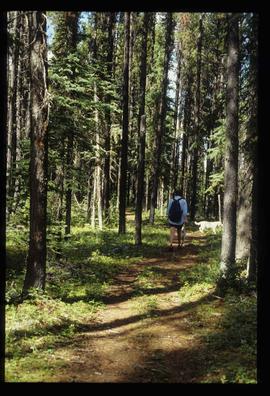
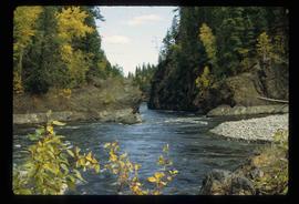
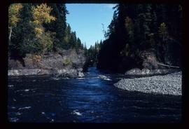
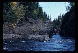
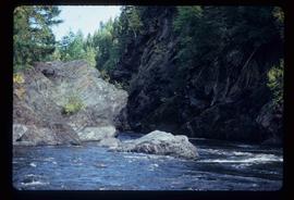
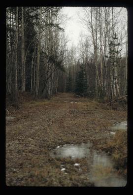
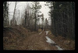
Image depicts a dog standing on a path through the woods somewhere in Carp Lake Provincial Park.
Image depicts two dogs and a person walking on a path through the woods somewhere in Carp Lake Provincial Park.
Image depicts a dock on a lake in Carp Lake Provincial Park, possibly War Lake.
Image depicts a view of Takla Lake, "looking north-west."
Image depicts a cabin on the "west arm" of Takla Lake.
Image depicts Takla Lake west of Leo Creek.
Image depicts phyllite, a type of metamorphic rock, on the north shore of Takla Lake.
Image depicts rail road tracks west of Takla Landing.
Image depicts an aerial view of a forest somewhere in the area of Divide Lake.
Image depicts an aerial view of the land in the area of Divide Lake.
Image depicts the "Divides Lake Waterfall."
Image depicts the "Divides Lake Waterfall" as well as a man in front of a helicopter in the foreground.
Image depicts the "Divides Lake Waterfall."
Image depicts a view of James Creek Valley.
Image depicts a view of the Herrick River in what is possibly McGregor Canyon; the slide is simply labelled "McG above Canyon."
Image depicts Riske Creek, B.C. The brown building on the left is the local school.
Image depicts a group of people hiking, possibly somewhere near Riske Creek, B.C.
Image depicts what is possibly either the Fraser or Chilcotin River.
Image depicts four hikers putting on rain parkas.
Image depicts what is possibly the Chilcotin River.
Image depicts a view of Prince George from the cutbanks.
Image depicts a view of Prince George from Carney Hill.
Image depicts power lines east of the pulp mills in Prince George, B.C.
Image depicts the flows from a pulp mill in Prince George, B.C.
Image depicts an esker at the Foothills Boulevard in Prince George, B.C.
Image depicts a view of Prince George from Gunn Point in the L.C. Gunn Park looking north. Map coordinates 53°54'26.2"N 122°43'35.8"W.
Image depicts the cutbanks on the other side of the Nechako, taken from the nature trail at Island Cache. Map coordinates 53°55'34.6"N 122°45'52.4"W
Image depicts a view over Tabor Mountain.
Image depicts a view of an experimental farm, possibly taken from Tabor Mountain.
Image depicts Prince George, possibly with the Northwood Pulpmill in the background.
Image depicts Barkerville, B.C.
Image depicts Blackwater River, B.C.
Image depicts the old, grown-over Cariboo Road at an uncertain location.
Image depicts numerous trees in an uncertain location; the slide itself is labelled "T.T. Cutting," possibly meaning "Telegraph Trail Cutting."
Image depicts a building by the shore of McLeod Lake.
Image depicts a number of houses built on stilts over a body of water in an uncertain location.
Image depicts a partially frozen lake, most likely Stuart Lake in Fort St. James, B.C.
Image depicts the Blackwater River.
Image depicts Blackwater River.
Image depicts Wells, B.C.
Image depicts a street in Wells, B.C. The Wells Hotel is present in the image.
Image depicts the grade for the British Columbia Railway, which was formerly known as the Pacific Great Eastern until 1972. It is located somewhere near the Woodpecker Ranch in Woodpecker, B.C.
Image depicts the grade for the British Columbia Railway, which was formerly known as the Pacific Great Eastern until 1972. It is located somewhere near the Woodpecker Ranch in Woodpecker, B.C. There are two unknown individuals present in the image.
Image depicts a clearing through the woods, possibly an abandoned grade for the BCR. It is possibly located on Iron Road South, near Woodpecker B.C.
Image depicts Iron Road North, and a creek surrounded by trees. Located north of Woodpecker, B.C.
Image depicts a forest, possibly somewhere near Woodpecker, B.C.