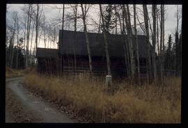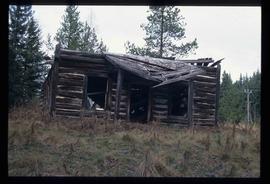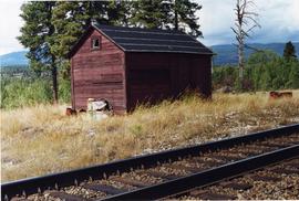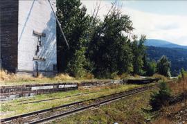
2013.6.36.1.152.08
·
Item
·
[May 2001]
Part of David Davies Railway Collection
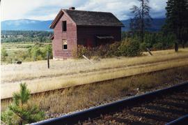
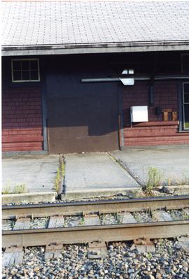
Photograph depicts a former gang car 'garage' in a station building.