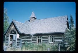
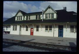
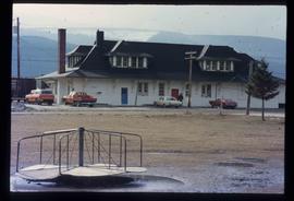
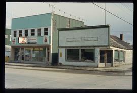
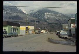
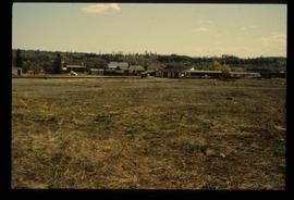
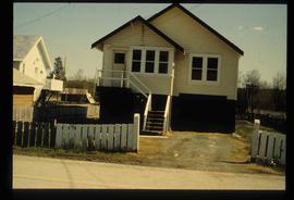
Image depicts a church located near Mapes, B.C.
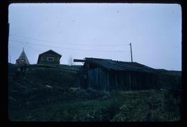
Image depicts a few old buildings, as well as several unknown individuals somewhere in Moricetown, B.C.
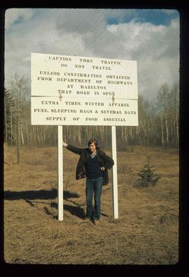
Image depicts an unknown individual leaning against a sign at the Stewart Access Road which warns travellers to pack several days of food. Located in Hazelton, B.C.
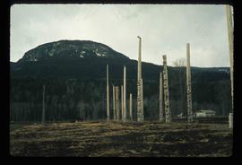
Image depicts numerous totem poles in Kispiox, B.C.
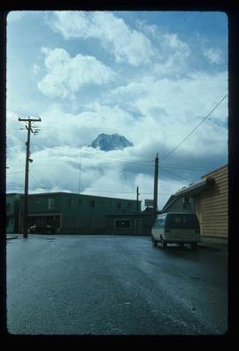
Image depicts the peak of the Rocher de Boule mountain from Hazelton, B.C.
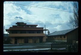
Image depicts the Inlander Hotel in Hazelton, B.C. The peak of the Rocher de Boule mountain is visible in the background.
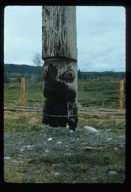
Image depicts an old, partially burnt totem pole in Kispiox, B.C.
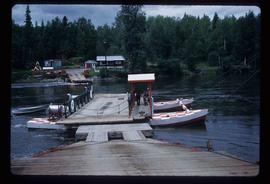
Image depicts the ferry at Isle Pierre, B.C.
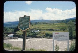
Image depicts the Bulkley River running through Moricetown Canyon.
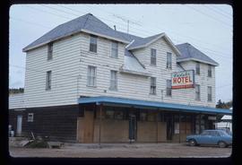
Image depicts the Endako Hotel in Endako, B.C.
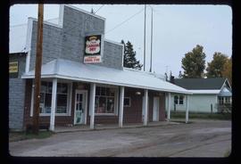
Image depicts the Endako General Store in Endako, B.C.
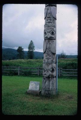
Image depicts a totem pole beside the grave marker of the Chief Lu-dal-da-zuatz, in Kispiox, B.C.
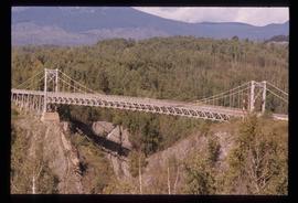
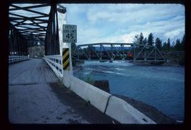
Image depicts a bridge in Hagwilget, B.C.
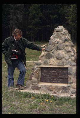
Image depicts a man, possibly Kent Sedgwick, standing next to a monument which states: "In honour of the pioneers of the Ootsa Lake Valley, first settled in 1905." Located somewhere in either the Francois Lake Provincial Park or the Wistaria Provincial Park.
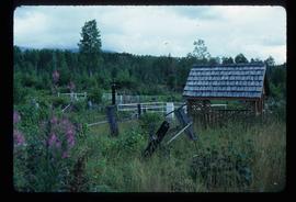
Image depicts the cemetery in Hazelton, B.C.
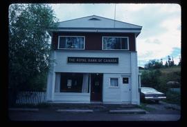
Image depicts the Royal Bank of Canada in Telkwa, B.C.
Image depicts two bridges in Telkwa, B.C. One is for trains.
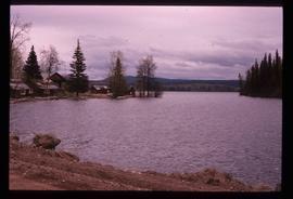
Image depicts Francois Lake.
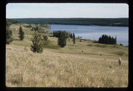
Image depicts a section of land on the east end of Francois Lake. The lake is visible in the distance.
Image depicts Chimney lake with a number of houses near the shore, and a child in the foreground.
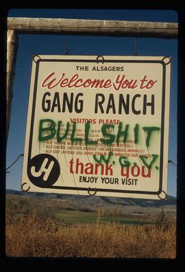
Image depicts the sign to Gang Ranch, located in the Upper Fraser Canyon, with graffiti on it.
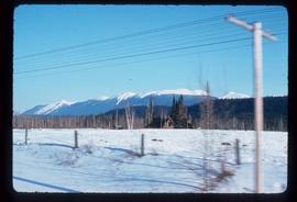
Image depicts a view of what is either the Rocky Mountains or possibly the Columbia Mountains from McBride, B.C.
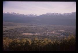
Image depicts a view of Valemount with numerous mountains in the background.
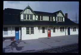
Image depicts the CN Station in McBride, B.C.
Image depicts the CN Station in McBride, B.C.
Image depicts the rear-end of the CN Station in McBride, B.C.
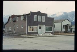
Image depicts an abandoned building on the corner of a street in McBride, B.C.
Image depicts a street in McBride, B.C.
Image depicts an old house somewhere in McBride, B.C.
Image depicts a machine shop somewhere in McBride, B.C. The sign above the door reads "McBride Air Cooled Engine Services Ltd."
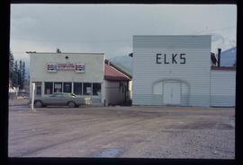
Image depicts the Elks Hall in McBride, B.C.
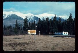
Image depicts a Yellowhead Realty sign in Lamming Mills, B.C. It reads: "For Sale, entire community, 50 buildings, 60 acres."
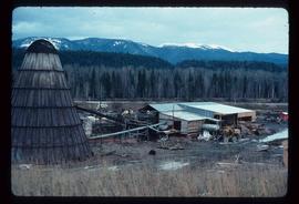
Image depicts a beehive burner in the community of Crescent Spur, B.C.
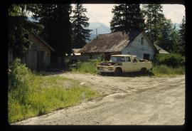
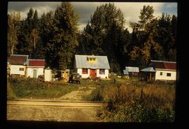
Image depicts several old houses and an old, yellow pick-up in Lamming Mills, B.C.
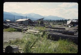
Image depicts what appears to be the old, abandoned mill in Lamming Mills, B.C.
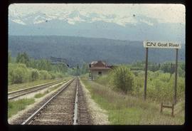
Image depicts the CN Railway and Station at Goat River, B.C.
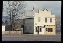
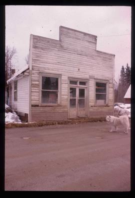
Image depicts an old building that used to be a store and post office in Dome Creek, B.C.
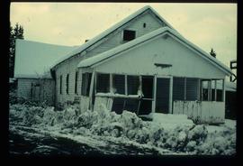
Image depicts a house somewhere in Dome Creek, B.C.
Image depicts a cookhouse at Sinclair Mills, B.C.
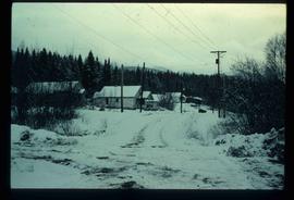
Image depicts a snow-covered road with vehicle tracks, and several houses. The location is uncertain.
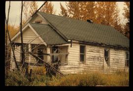
Image depicts a dilapidated house in Sinclair Mills, B.C.
Image depicts a small house with brightly coloured door and window frames in Penny, B.C.
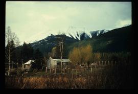
Image depicts a house surrounded by trees and a mountain in the background; it is most likely located somewhere in or near Longworth, B.C.
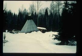
Image depicts what appears to be a teepee at an uncertain location.
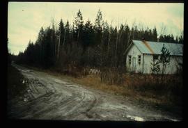
Image depicts a dirt road and a possibly abandoned building at an uncertain location.
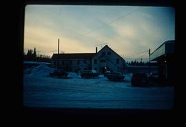
Image depicts an older building with numerous vehicles parked out front in Upper Fraser, B.C. Map coordinates 54°07'03.5"N 121°56'34.4"W
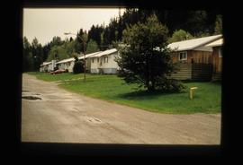
Image depicts a row of houses in Upper Fraser, B.C. Map coordinates 54°06'51.6"N 121°56'26.3"W
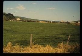
Image depicts a field in Giscome, B.C. On the right side of the image, in the background, is a grey strip that appears to be a mine, possibly the quarry at Eaglet Lake in Giscome, B.C. Map coordinates 54°03'52.9"N 122°22'10.0"W
Image depicts the Giscome B.C. townsite from across the railroad tracks looking southeast. Map coordinates 54°04'19.7"N 122°22'04.7"W
Image depicts a house with the main floor and entrance high off the ground. The location is uncertain, likely Giscome, B.C.
