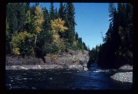
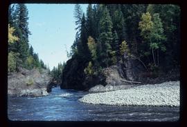
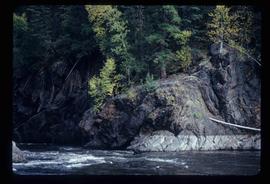
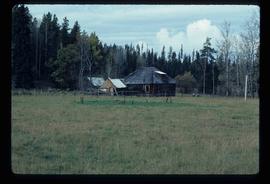
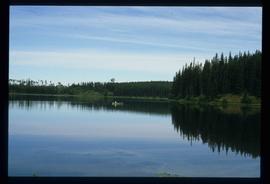
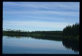
Image depicts a canoe on the Fraser Lake.
Image depicts the Livingston Springs in the Crooked River Provincial Park.
Image depicts Prince George, with the picture looking North-Northeast from University Way.
Image depicts Prince George from University Way, with the P.G.I pulp mill in the distance.
Image depicts a Hydraulic Placer mining location in Barkerville which has been completely deforested.
Image depicts a view of Blackwater in the country near Punchaw, B.C.
Image depicts the old, grown-over Cariboo Road at an uncertain location.
Image depicts buildings in the village community of Metlakatla, B.C.
Image depicts a forestry cabin located in Tête Jaune Cache, B.C.
Image depicts a river, possibly either the Nechako or the Fraser, and a mountain range from an unknown location.
Image depicts a lake, possibly Stuart Lake in Fort St. James, B.C.
Image depicts the Barkerville Cemetery.
Image depicts the grave of John A. Cameron at Barkerville, B.C.
Image depicts the grave of John A. Fraser in Barkerville, B.C.
Image depicts Blackwater River.
Image depicts an old log cabin in Salmon Valley.
Image depicts an old log house with a collapsing roof in Salmon Valley.
Image depicts a shed in an unknown location.
Image depicts a cemetery in the South Fort George suburb of Prince George, B.C.
Image depicts a wooden structure at Gang Ranch. It is possibility an elevated water trough.
Image depicts a view of the property of the Gang Ranch.
Image depicts the Fraser River in the upper Fraser Canyon.
Image depicts an unknown woman on a road in the upper Fraser Canyon.
Image depicts Gang Ranch, with a sign warning that the area is patrolled by Range and Logging Patrols, in the Upper Fraser Canyon.
Image depicts Gang Ranch in the Upper Fraser Canyon.
Image depicts a couple of old buildings, and a field full of tree trunks and dead wood. Located somewhere in or around the Upper Fraser Canyon.
Image depicts a view of the Upper Fraser Canyon. The Fraser River is visible.
Image depicts the Fraser River running through the Upper Fraser Canyon.
Image depicts the Alkali Lake Ranch in Alkali Lake, B.C.
Image depicts a house located somewhere in or near Canoe Creek.
Image depicts a view of Canoe Creek.
Image depicts several old buildings at an uncertain location. The slide is simply labelled "Spring house?"
Image depicts the Fraser River somewhere in the Lillooet area.
Image depicts the Fraser River near Lillooet, B.C.
Image depicts the Fraser River running through the Moran Canyon near Lillooet, B.C.
Image depicts a view of Kelly Lake in Downing Provincial Park.
Image depicts rows of water, possibly being irrigation ditches, somewhere in Lillooet, B.C.
Image depicts the Fraser River near Lillooet, B.C.
Image depicts two bridges over the Fraser River, located somewhere in Lillooet, B.C.
Image depicts a view of Moran Canyon in the Lillooet area.
Image depicts an old earth flow in Moran Canyon, somewhere in the Lillooet area.
Image depicts an old earth flow somewhere near Pavilion, B.C.