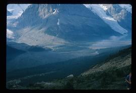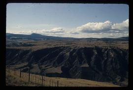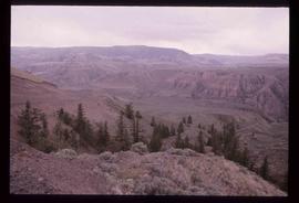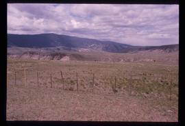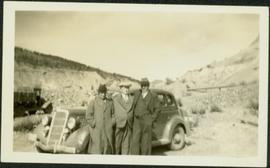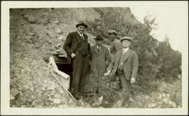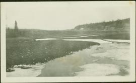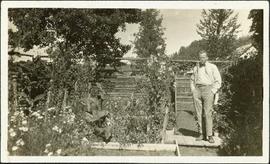
2000.19.1.180
·
Item
·
20 Sept. 1926-19 Oct. 1926
Part of Prentiss Gray Collection
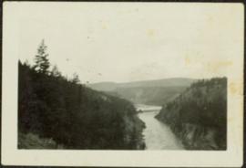
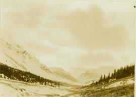
Photograph depicts a tree-filled valley leading up to a snow-covered mountain range.