2012.13.1.89.080
·
Item
·
[1980?]
Parte de J. Kent Sedgwick fonds
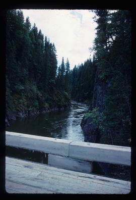
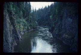
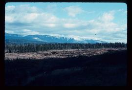
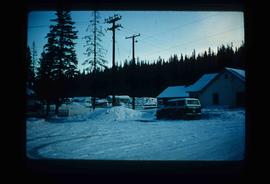
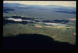
Image depicts the dairy farm in Giscome, B.C. Map coordinates 54°03'53.3"N 122°21'22.6"W