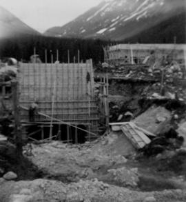
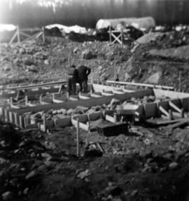
2000.1.1.3.13.36
·
Item
·
1978
Parte de Cassiar Asbestos Corporation Ltd. fonds
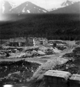
Photograph depicts the pit mine, and road in valley below. Town of Cassiar can be seen in distance at foot of south mountain range.