2013.6.36.1.002.121
·
Item
·
Apr. 1966
Parte de David Davies Railway Collection
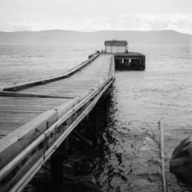
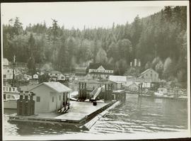
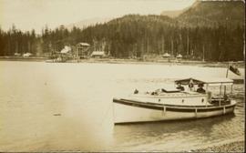
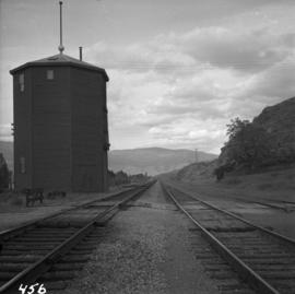
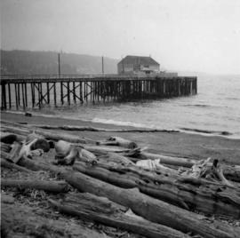
Photograph depicts a wharf at Sechelt village on the Sechelt Peninsula. The view is looking southeast towards Vancouver.