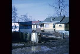
Image depicts a few houses and a dog on a porch at Island Cache.
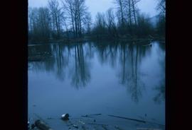
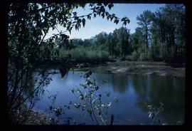
Image depicts a body of water in Island Cache. It is possibly a small section of the Nechako River.
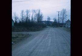
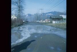
Image depicts a street in Island Cache.
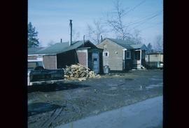
Image depicts a few houses in Island Cache.
Image depicts a street in Island Cache.
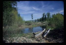
Image depicts the Nechako River on Cottonwood Island.
Image depicts a horse on Cottonwood Island.
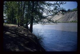
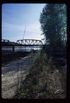
Image depicts the Nechako River from Cottonwood Island.
Image depicts a green car among some trees on Cottonwood Island.
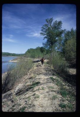
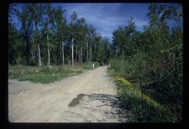
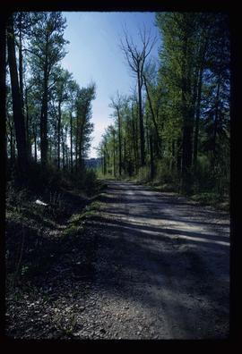
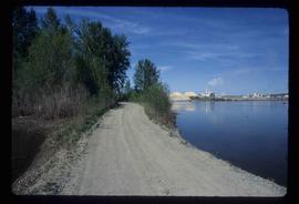
Image depicts a nature trail on Cottonwood Island.
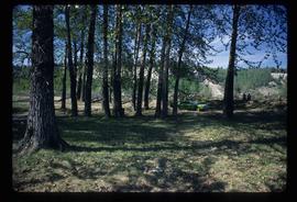
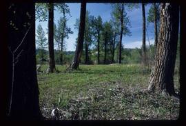
Image depicts Cottonwood Island.
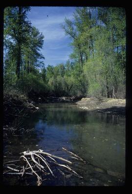
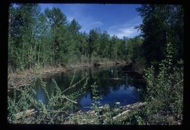
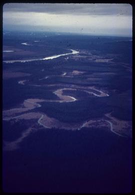
Image depicts a small stream somewhere on Cottonwood Island.
Image depicts what is possibly a small section of the Nechako River on Cottonwood Island.
Image depicts a nature trail on Cottonwood Island.
Image depicts Cottonwood Island.
Image depicts a small stream somewhere on Cottonwood Island.
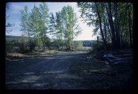
Image depicts a nature trail on Cottonwood Island.
Image depicts a nature trail on Cottonwood Island.
Image depicts a nature trail on Cottonwood Island.
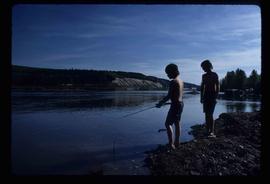
Image depicts two youths fishing from the bank of the Nechako River on Cottonwood Island.
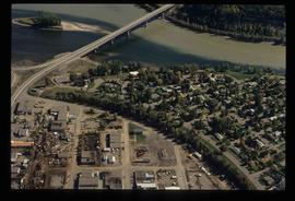
Image depicts a view of the Millar Addition suburb in Prince George, B.C.
Image depicts a view of the Millar Addition suburb from Connaught Hill in Prince George, B.C.
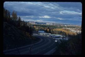
Image depicts Ash Street and Patricia Boulevard in Prince George, B.C.
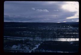
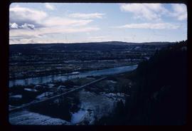
Image depicts a view of Prince George from the cutbanks.
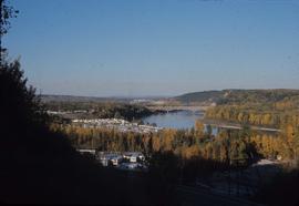
Image depicts a view of Prince George from the cutbanks on the Nechako river.
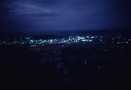
Image depicts Prince George at night from the cutbanks.
Image depicts Prince George near the Airport Road.
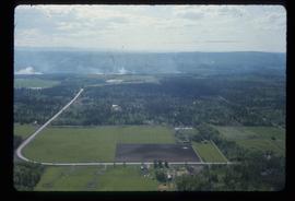
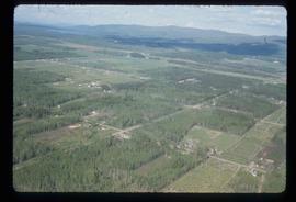
Image depicts a clearing in Prince George, B.C.
Image depicts a view of Peden Hill in Prince George, B.C.
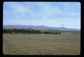
Image depicts Tabor Mountain from the airport in Prince George, B.C.
Image depicts Prince George from the view of Peden Hill.
Image depicts a view of Prince George from Carney Hill.
Image depicts power lines east of the pulp mills in Prince George, B.C.
Image depicts natural meadows, possibly east of Prince Georg, B.C.
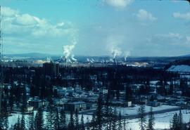
Image depicts the flows from a pulp mill in Prince George, B.C.
Image depicts an esker at the Foothills Boulevard in Prince George, B.C.
Image depicts the Tabor Lake Subdivision in Prince George, B.C.
Image depicts a view of Prince George from Gunn Point in the L.C. Gunn Park looking north. Map coordinates 53°54'26.2"N 122°43'35.8"W.
Image depicts a view of Prince George from Gunn Point in the L.C. Gunn Park looking north. Map coordinates 53°54'26.2"N 122°43'35.8"W.
Image depicts a view of Prince George from Gunn Point in the L.C. Gunn Park looking north. Map coordinates 53°54'26.2"N 122°43'35.8"W.
Image depicts a view of Prince George from Gunn Point in the L.C. Gunn Park looking north. Map coordinates 53°54'26.2"N 122°43'35.8"W.
Image depicts a view of Prince George from Gunn Point in the L.C. Gunn Park looking north. Map coordinates 53°54'26.2"N 122°43'35.8"W.
Image depicts a view of Prince George from Gunn Point in the L.C. Gunn Park looking north. Map coordinates 53°54'26.2"N 122°43'35.8"W.
Image depicts a view of Prince George from Gunn Point in the L.C. Gunn Park looking north. Map coordinates 53°54'26.2"N 122°43'35.8"W.
Image depicts a view of Prince George from Gunn Point in the L.C. Gunn Park looking north. Map coordinates 53°54'26.2"N 122°43'35.8"W.
Image depicts a view of Prince George from Gunn Point in the L.C. Gunn Park looking north. Map coordinates 53°54'26.2"N 122°43'35.8"W.
Image depicts a view of Prince George from Gunn Point in the L.C. Gunn Park looking north. Map coordinates 53°54'26.2"N 122°43'35.8"W.
Image depicts a view of Prince George, from Gunn Point in the L.C. Gunn Park.
Image depicts an aerial view of Fort George Park.
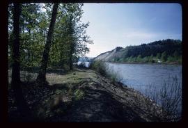
Image depicts the cutbanks on the other side of the Nechako, taken from the nature trail at Island Cache. Map coordinates 53°55'34.6"N 122°45'52.4"W
