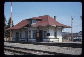
Photograph depicts a section of railway trackage, presumed to be located within or nearby Sinclair Mills, BC.
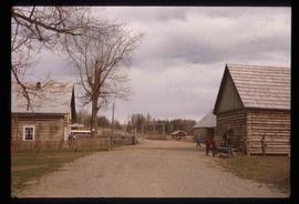
Photograph depicts a section of railway trackage, presumed to be located within or nearby Sinclair Mills, BC with an old truck parked beside the tracks and the forest.
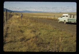
Photograph depicts an open field surrounded by trees.
Photograph depicts a landscape, with mountains in the background and trees in the foreground.
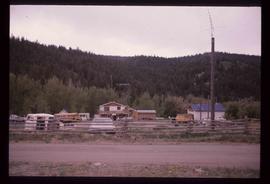
Photograph depicting a residential building surrounded by trees in an unknown location.
File consists of reproductions and typescript documents relating to the "From Trail to Rail" book written by Audrey L'Heureux and promotion of the book at the Alexander Mackenzie Trail Association annual meeting in 1989.
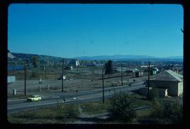
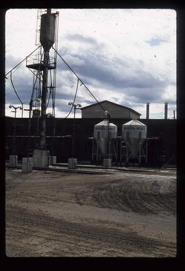
Image depicts the Canadian National Railway Yards in Prince George, B.C.
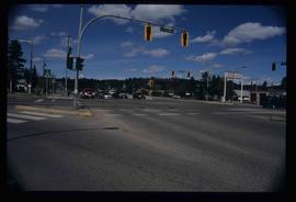
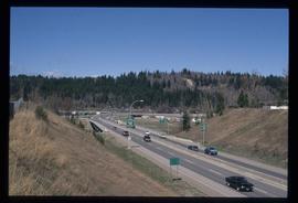
Image depicts the intersection of 5th Ave and Highway 97 looking northeast. Map coordinates 53°55'14.0"N 122°46'54.8"W
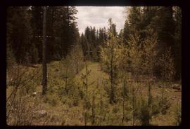
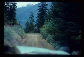
Image depicts the old, grown-over Cariboo Road at an uncertain location.
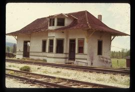
Image depicts the old Goat River Train Station in Goat River, B.C.
Image depicts the old Giscome Train Station in Giscome, B.C. It was demolished between 1976 and 1977.
Image depicts the Cariboo Road passing through the Cottonwood House Historic Site.
Image depicts an unknown woman on a road in the upper Fraser Canyon.
Image depicts a house and numerous rundown vehicles in Dog Creek, B.C.
Image depicts Highway 99 north of Squamish, near Pemberton, B.C.
Image depicts Highway 99 near Pemberton, B.C.
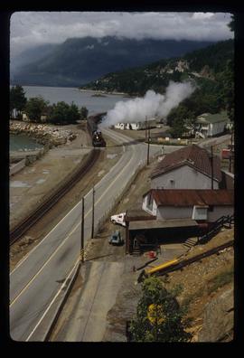
Image depicts a train in an uncertain location, though it is possibly Howe Sound in the background.
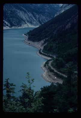
Image depicts an elevated view of a lake and a road located somewhere near Bralorne, B.C.
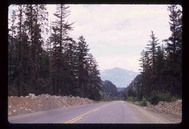
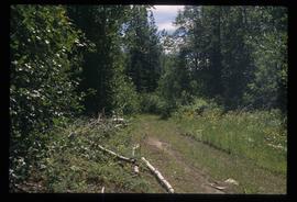
Image depicts a dirt road leading through a forest.
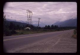
Image depicts a highway, possibly Highway 97, in Prince George, B.C.
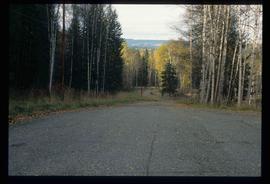
Image depicts a road near the Ginter House in Prince George, B.C.
File contains slides depicting images of the Grand Trunk Pacific railway roundhouse in Prince George, B.C.
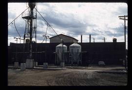
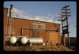
Image depicts what is possibly a train fuelling station at the GTP Roundhouse in Prince George, B.C.
Image depicts what is possibly a train fuelling station at the GTP Roundhouse in Prince George, B.C.
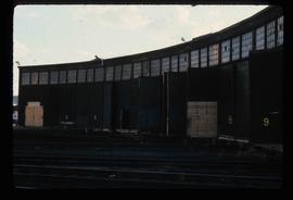
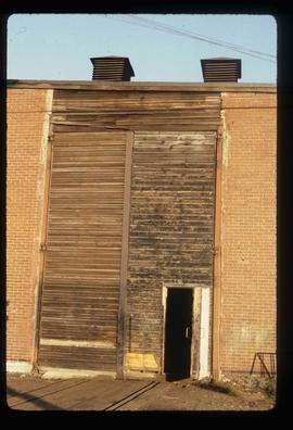
Image depicts the Grand Trunk Pacific railway roundhouse in Prince George, B.C.
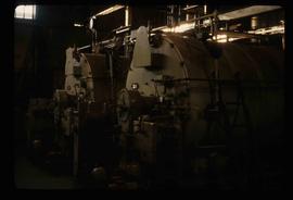
Image depicts machinery in the GTP roundhouse in Prince George, B.C.
Image depicts the GTP roundhouse in Prince George, B.C.
Image depicts the GTP roundhouse in Prince George, B.C.
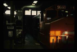
Image depicts a train in the interior of the GTP roundhouse in Prince George, B.C.
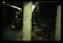
Image depicts the interior of the GTP roundhouse in Prince George, B.C.
Image depicts Bellos Road, most likely in Red Rock, B.C.
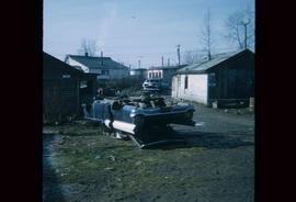
Image depicts a damaged, upturned car in Island Cache.
Image depicts an unknown figure standing inside a tunnel from the old Kettle Valley Rail Road.
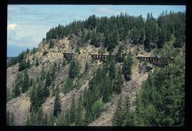
Image depicts the old Kettle Valley Rail Road.
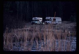
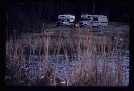
Image depicts two campers at an uncertain location, possibly somewhere near Meldrum Creek, B.C.
Image depicts two campers at an uncertain location, possibly somewhere near Meldrum Creek, B.C.
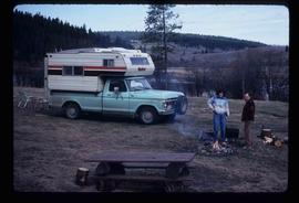
Image depicts a camper and a man and woman at an uncertain location, possibly somewhere near Meldrum Creek, B.C. The woman in the image is Sue Sedgwick.
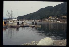
Image depicts numerous docked boats, as well as many houses on the shore in the background; located in Kitimat, B.C.
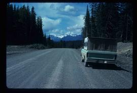
Image depicts a truck parked on the side of the Cassiar Highway.
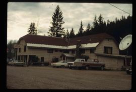
Image depicts a hotel in Likely, B.C.
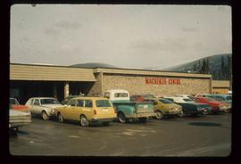
Image depicts numerous vehicles parked outside a building with a sign which reads "Mackenzie Centre;" it is possibly the mall in Mackenzie, B.C.
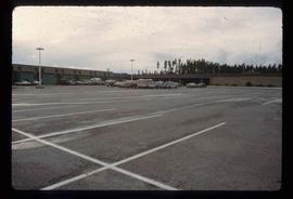
Image depicts numerous vehicles in the parking lot of a mall in Mackenzie, B.C.
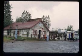
Image depicts the gas station at Manson Creek, B.C.
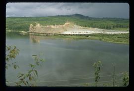
Image depicts the site of Giscome's first quarry, with a train passing by and Eaglet Lake located in the foreground.
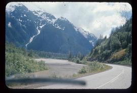
Image depicts the Skeena River alongside Highway 16 en route to Prince Rupert, B.C.
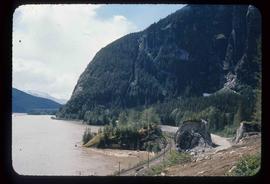
Image depicts a mountain located somewhere along the Skeena River, and a road alongside it.
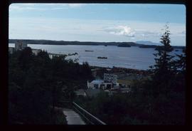
Image depicts several ships on the water in Prince Rupert, B.C.
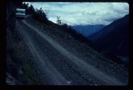
Image depicts a steep mountain road somewhere in the area of Seton Portage, B.C.
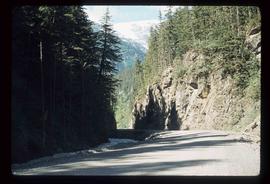
Image depicts a section of road running through the Bear River Gorge.
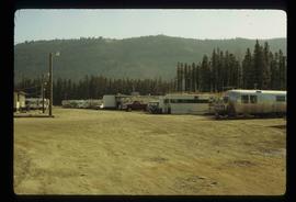
Image depicts numerous campers and other vehicles in Tumbler Ridge, B.C.
