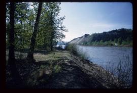
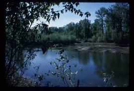
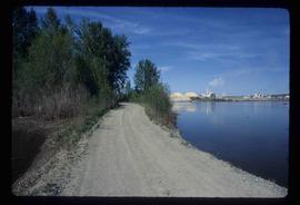
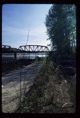
Image depicts the Nechako River from Cottonwood Island.
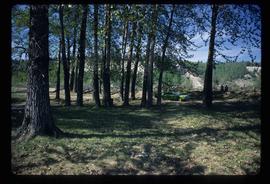
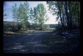
Image depicts a green car among some trees on Cottonwood Island.
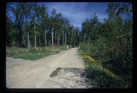
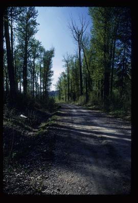
Image depicts a nature trail on Cottonwood Island.
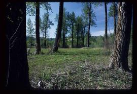
Image depicts Cottonwood Island.
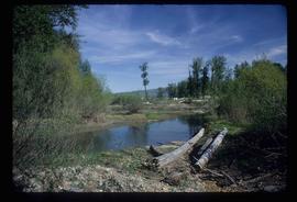
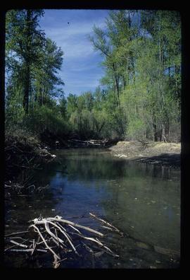
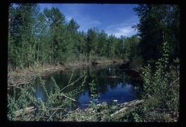
Image depicts a small stream somewhere on Cottonwood Island.
Image depicts what is possibly a small section of the Nechako River on Cottonwood Island.
Image depicts a nature trail on Cottonwood Island.
Image depicts Cottonwood Island.
Image depicts a small stream somewhere on Cottonwood Island.
Image depicts a nature trail on Cottonwood Island.
Image depicts a nature trail on Cottonwood Island.
Image depicts a nature trail on Cottonwood Island.
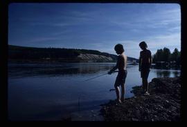
Image depicts two youths fishing from the bank of the Nechako River on Cottonwood Island.
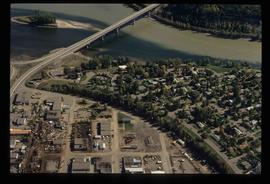
Image depicts a view of the Millar Addition suburb in Prince George, B.C.
Image depicts a view of the Millar Addition suburb from Connaught Hill in Prince George, B.C.
Image depicts Ash Street and Patricia Boulevard in Prince George, B.C.
File contains slides depicting the growth of Prince George.
File contains slides depicting the grade for what was formerly the Pacific Great Eastern, and is now known as British Columbia Railway.
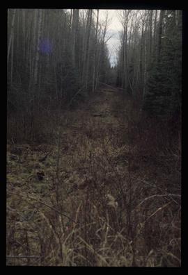
Image depicts a view of the south direction of the grade for the British Columbia Railway, which was formerly known as the Pacific Great Eastern until 1972. It is at an uncertain location, possibly near Woodpecker or Prince George.
File contains slides depicting logging and equipment. Most appear to be locations around Prince George.
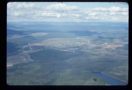
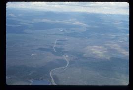
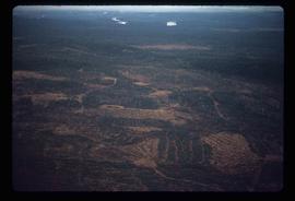
Image depicts an aerial view of areas that have been used for logging around Prince George, B.C.
Image depicts an aerial view of the Ahbau area somewhere near Prince George, B.C.
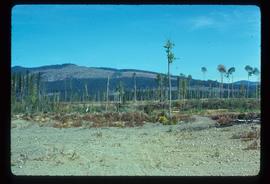
Image depicts a highway, and a section of mountain in the background which is bare due to clear-cut logging. It is possibly somewhere near Prince George, B.C.
Image depicts a logging area, and a section of mountain in the background which is bare due to clear-cut logging. The slide is also labelled "logging show." It is possibly somewhere near Prince George, B.C.
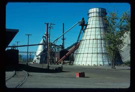
Image depicts a Beehive Burner along the Nechako on River Road. Map coordinates 53°55'34.1"N 122°44'58.0"W
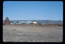
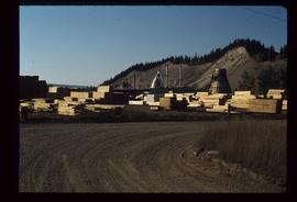
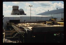
Image depicts a saw mill, possibly Lakeland Mills, with a beehive burner and numerous piles of logs in the foreground, in Prince George, B.C.
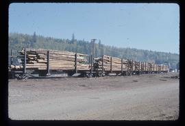
Image depicts a train carrying logs somewhere in Prince George, B.c.
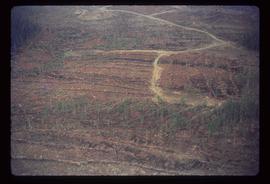
Image depicts a logging area somewhere near Prince George, B.C.
Image depicts a logging area somewhere near Prince George, B.C.
Image depicts numerous piles of wood planks at the Canadian National Railway Yards in Prince George, B.C. The cutbanks are seen in the background.
Image depicts logs being stripped of their bark at a saw mill in Prince George, B.C.
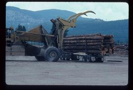
Image depicts a tractor with a claw lifting logs at a saw mill in Prince George, B.C.
Image depicts numerous logs that have been stripped of their bark at a saw mill in Prince George, B.C.
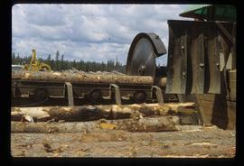
Image depicts a saw cutting a log in half at a saw mill in Prince George, B.C.
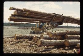
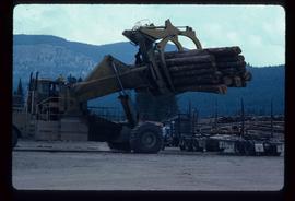
Image depicts a piece of heavy machinery lifting numerous logs off the back of a logging truck. It is likely located in Prince George, B.C.
Image depicts a piece of heavy machinery lifting numerous logs off the back of a logging truck. It is likely located in Prince George, B.C.
File contains slides depicting maps for land use in Prince George.
File contains slides depicting landforms at various locations.
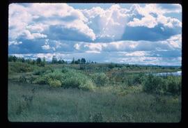
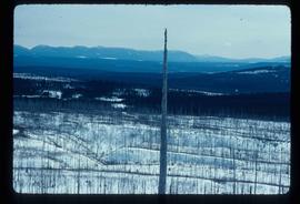
Image depicts the shore line and surrounding land of a lake or river at an airport, possibly in Prince George, B.C.
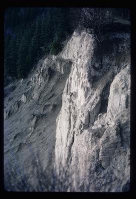
Image depicts a cutbank on the Nechako River in Prince George, B.C.
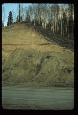
Image depicts a small slope on Carney Hill in Prince George, B.C.
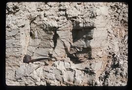
Image depicts miocene gravels on Carney Hill in Prince George, B.C.
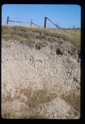
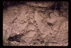
Image depicts an example of varves, an annual layer of sediment or rock, possibly located at the airport in Prince George, B.C.
Image depicts an example of varves, an annual layer of sediment or rock, with a pipe used for reference size. It is possibly located at the airport in Prince George, B.C.
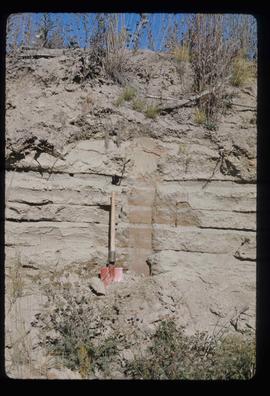
Image depicts sand beds with a shovel present for size reference. The slide places it at the "BCR site," possibly in Prince George, B.C.
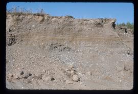
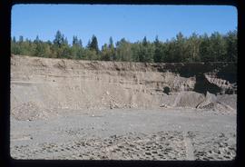
Image depicts layers of gravel at the BCR site in Prince George, B.C.
Image depicts layers of gravel at the BCR site in Prince George, B.C.
Image depicts grooving on Tabor Mountain in Prince George, B.C.
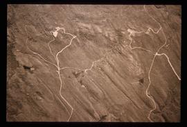
Image depicts grooves on Tabor Mountain in Prince George, B.C.
Image depicts layers of silt along the Chilako River near Blackwater Road, Prince George, B.C.
