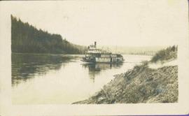
Stern wheeler in river. Handwritten annotation in pencil on verso reads: “Prince George to Tete Jaune” Hand written message in ink on verso is addressed to “Mademoiselle Elisabeth Joliet, Terrguy – Les Dijore Cote a Or France”
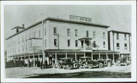
Photograph depicts hotel on corner of street, crowd and cars in foreground.
Handwritten annotation on verso “Albert Johnson’s 'Northern Hotel' South Fort George 1914".
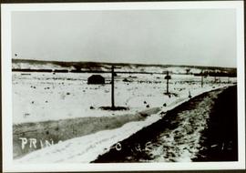
Railroad track, utility poles, field, small building and background hills are visible in image.
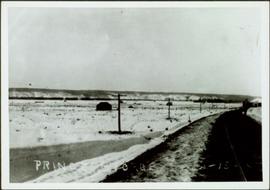
Unidentified man can be seen walking on railroad tracks on far right. Utility poles, field, small building and background hills are visible in image.
Map depicts annotations marking the major freight-ways: Garnet Ent. Truck Haul from Vancouver to Terrace, Canada Freightways Lyndon Trucking from Vancouver-Edmonton-Alaska Highway, Lindsays Transfer from Terrace to Dease Lake and Telegraph Creek, and the Northland Navigation roll-on and roll-off service. The cities and towns of Vancouver, Prince George, Dawson Creek, Terrace, Kitimat and Whitehorse are noted.
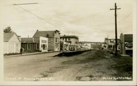
Photo depicts a street perspective of George St., in Prince George, BC, ca. 1950. Annotation recto reads: "George St. Prince George BC Photo by J Wrathall." Handwritten annotation in pen on verso of postcard reads: “This is the Hastings Street of Prince George. This & 3rd Streets are the main thoroughfares.”
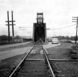
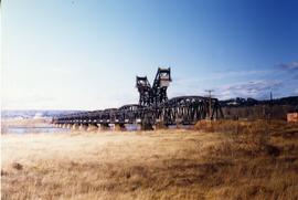
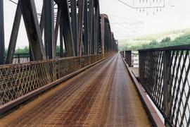
Photograph depicts a rail bridge over the Fraser River. Canter levelled on both sides were vehicle roadways which ceased to be used in 1987 when a new road bridge was supposed to be completed. The right lane took cars into the city of Prince George.
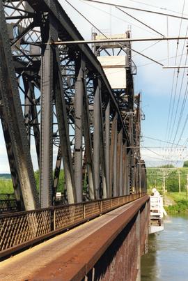
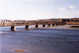
Photograph depicts a CN bridge crossing over the Fraser River. Built by Grand Trunk Pacific Railway in 1914.
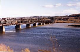
Photograph depicts a CN bridge crossing over the Fraser River.
Photograph depicts a CN bridge crossing over the Fraser River.
Photograph depicts a CN bridge crossing over the Fraser River.
Photograph depicts a loaded coal train en rout to Prince Rupert travelling on a CN bridge that crossed over the Fraser River.
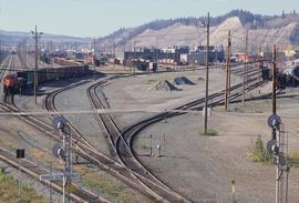
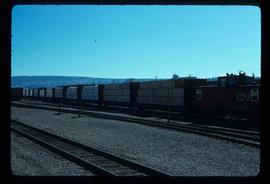
Image depicts a number of trains in the CNR train yard taken from River Road in Prince George, B.C. Map coordinates 53°54'51.5"N 122°43'29.6"W
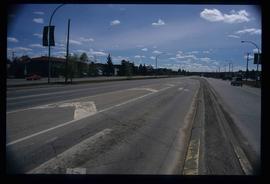
Image depicts a section of Highway 97 looking south. Map coordinates 53°55'10.3"N 122°46'54.9"W
Image depicts the Fraser River at Paddlewheel park, with a train on the other side of the river, in Prince George B.C.
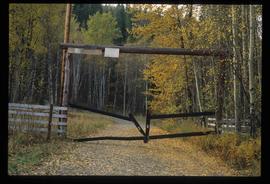
Image depicts a private driveway, most likely leading to the Ginter Property in Prince George, B.C.
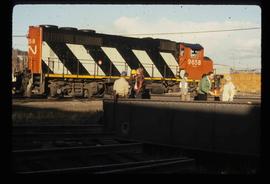
Image depicts a train and a group of unknown individuals at the GTP roundhouse in Prince George, B.C.
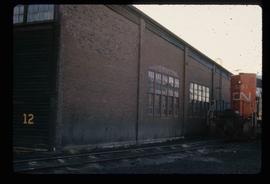
Image depicts the Grand Trunk Pacific railway roundhouse in Prince George, B.C.
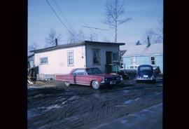
Image depicts a house in Island Cache. There are several cars parked outside it.
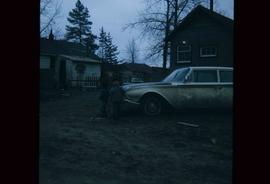
Image depicts two children standing near an old car in Island Cache.
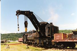
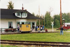
Photograph depicts a crane at the Prince George Railway Museum.
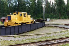
Photograph depicts a locomotive at the Prince George Railway Museum.
Photograph taken at the Prince George Railway Museum.
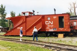
Photograph depicts a snow plow at the Prince George Railway Museum.
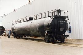
Photograph depicts a tank car being repaired.
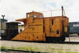
Photograph depicts a BC Rail snow plow.
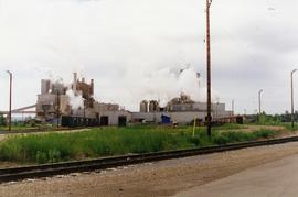
Photograph depicts Northwood Pulp and Timber Ltd, Prince George. Located north of the city, near the BC Rail and CNR mainline tracks. It had its own railway of about 5 miles in length and two diesel switchers.
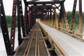
Photograph depicts a private rail/road bridge built to serve Northwood Pulp and Timber, Ltd. Crossing Fraser River. Looking west, towards the mill. On private Northwood trackage.
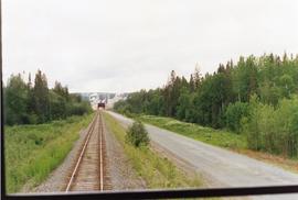
Photograph taken on a 40 ft. high embankment. Looking towards Fraser River. Northwood Pulp and Timber Ltd. in western direction. All trackage owned and built by the mill. Constructed in 1966.
Image depicts a train transporting wood planks, possibly in Prince George, B.C.
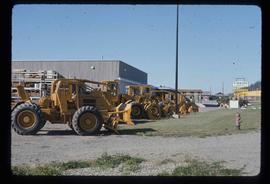
Image depicts numerous tractors at Finning Tractor and Equipment Co. Ltd. located along Highway 97 in Prince George, B.C.
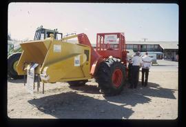
Image depicts two unidentified individuals examining a tractor meant to delimb trees. It is located in Prince George, B.C.
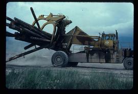
Image depicts a piece of heavy machinery lifting numerous logs. It is likely located in Prince George, B.C.
Subseries consists of material collected and created by Kent Sedgwick for research regarding transportation. Includes notes and research on airplanes, specifically Prince George aviation and the Junkers aircraft named "The City of Prince George"; highway transportation; the Grand Trunk Pacific Railway; ferry boat service including the Fraser River Fort George ferry, the Isle Pierre ferry, and the Miworth ferry; the Pacific Great Eastern Railway line; the British Columbia Railway; and the Canadian National Railway. Also includes essays and typed documents on railway history in Prince George.
