Item is a 3.5 in. floppy containing Excel 4.0 files for the Aleza Lake polygon attributes by photo number. Files include: ALEZAENV.DAT, ALEZAENV.DOC, ALEZAPRO.DOC, ALEZASS.SRT, ALEZAVEG.DAT, ALEZAVEG.DOC, EDATOPE.CDR, FIELDF.XLS, POLY059.XLS, POLY061.XLS, POLY063.XLS, POLY101.XLS, POLY103.XLS, POLY105.XLS, POLY107.XLS, POLY127.XLS, POLY140.XLS, POLY142.XLS, POLY144.XLS, POLY146.XLS, POLY148.XLS, PROFILE.CDR.
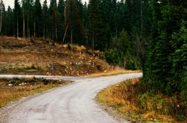
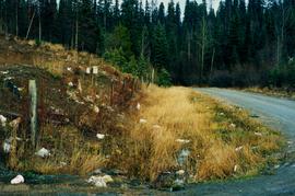
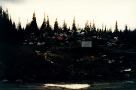
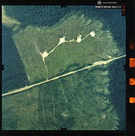
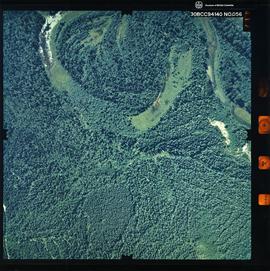
Photograph depicts the Aleza Lake regional district garbage dump in October 1992.
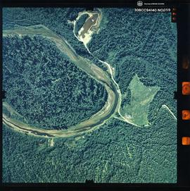
Photograph depicts the Aleza Lake regional district garbage dump in October 1992.
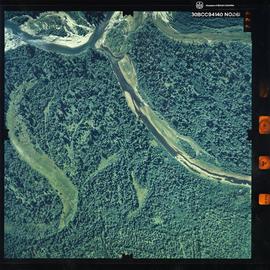
Photograph depicts the Aleza Lake regional district garbage dump in October 1992.
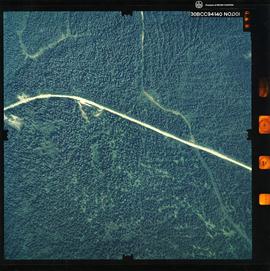
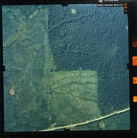
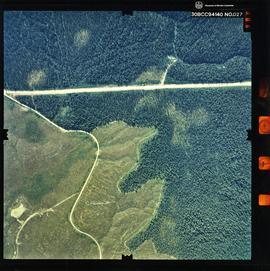
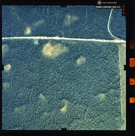
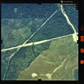
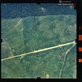
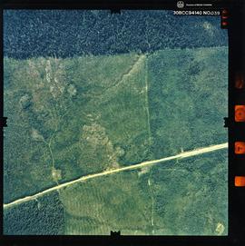
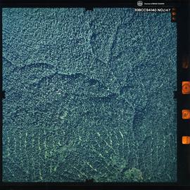
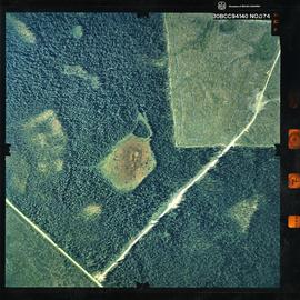
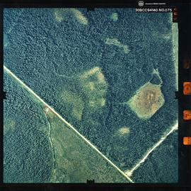
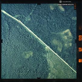
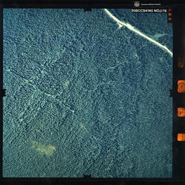
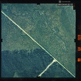
Photograph is a remote-sensing image of the Aleza Lake Research Forest from 1994.
Photograph is a remote-sensing image of the Aleza Lake Research Forest from 1994.
Photograph is a remote-sensing image of the Aleza Lake Research Forest from 1994.
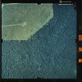
Photograph is a remote-sensing image of the Aleza Lake Research Forest from 1994.
Photograph is a remote-sensing image of the Aleza Lake Research Forest from 1994.
Photograph is a remote-sensing image of the Aleza Lake Research Forest from 1994.
Photograph is a remote-sensing image of the Aleza Lake Research Forest from 1994.
Photograph is a remote-sensing image of the Aleza Lake Research Forest from 1994.
Photograph is a remote-sensing image of the Aleza Lake Research Forest from 1994.
Photograph is a remote-sensing image of the Aleza Lake Research Forest from 1994.
Photograph is a remote-sensing image of the Aleza Lake Research Forest from 1994.
Photograph is a remote-sensing image of the Aleza Lake Research Forest from 1994.
Photograph is a remote-sensing image of the Aleza Lake Research Forest from 1994.
Photograph is a remote-sensing image of the Aleza Lake Research Forest from 1994.
Photograph is a remote-sensing image of the Aleza Lake Research Forest from 1994.
Photograph is a remote-sensing image of the Aleza Lake Research Forest from 1994.
Photograph is a remote-sensing image of the Aleza Lake Research Forest from 1994.
Photograph is a remote-sensing image of the Aleza Lake Research Forest from 1994.
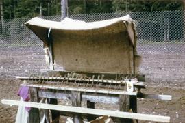
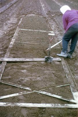
Photograph is one of six depicting the Aleza Lake nursery in Spring 1964. Annotations note these photographs may be associated with EP433.
Photograph is one of six depicting the Aleza Lake nursery in Spring 1964. Annotations note these photographs may be associated with EP433.
Item is a research notes on "E.P. 373 - Ecology: Spruce-Balsam Type, Aleza Lake" by J.C.W. Arlidge of the British Columbia Forest Service.
Item is a compiled hand-written data set for "Experimental Plot No. 116 (252): Rate of Growth and Mortality in the Mature Uneven-Aged White Spruce-Balsam Type" at the Aleza Lake Experimental Station.
Item is a report entitled "The Result of Stand Treatment in the White Spruce-Alpine Fir Type of the Northern Interior of British Columbia" by D.R. Glew.
Item is an original "Northern Interior Forest Experiment Station: Report of Preliminary Investigations" by Percy Barr. Includes original photographic prints.
File contains a 1921 original copy of "The Talking Trees and Canadian Forest Trees" by James Lawler and the Department of the Interior Forestry Branch.
Diagram reflects outline for the proposed Ranger Station at the Aleza Lake Experimental Forest.
Map reflects lot and STL lines, timber sale boundaries, Highway 16, roads, beetle infested areas, and plots X91971 to X91980, and X89946.
Map reflects boundaries for the Aleza Lake Experiment Station, permanent sample plots, timber sales locations, and the Ecological Reserve.
Map reflects highways, main, branch and property roads, trails, public sustained yield unit boundaries, cutting permit boundary, contours, height of land, edge of lake, merchantable and immature timber, non-commercial cover, and swamps.
Map reflects forest type boundary line, bogs and swampy non-forested areas, creeks, lakes, rivers, tree species labels of spruce, balsam, and birch, stand descriptions, historical timber sale boundaries, stand history symbol, gravelled secondary roads, unimproved old roads, management compartment boundary, research forest boundary, ecological reserve boundary, and old growth emphasis areas.
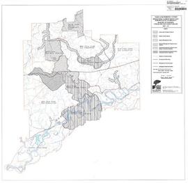
Map commissioned from Ministry of Forests Prince George Region from Madrone Consultants shows Aleza Lake Research Forest Management Compartments and Administrative Boundaries. Map is 1 of 6. Map shows the Aleza Lake Ecological Reserve, Natural Forest Reserve, the Special Management Area, and Riparian Management Research Area.
Map commissioned from Ministry of Forests Prince George Region from Madrone Consultants shows Aleza Lake Research Forest Research Trials and Permanent Plots. Map is 2 of 6. Map shows permanent plot locations, historical timber sales areas, demonstration areas, and research plots.
Map commissioned from Ministry of Forests Prince George Region from Madrone Consultants shows Aleza Lake Research Forest terrain themes. Map is 6 of 6. Map shows the following types of terrain units: typic, slope, percipitous, gullied, hummocky, rocky, alluvial, and organic. Ecosystem classification and mapping by Oikos Ecological Services Ltd.
Map reflects reserve boundary, roads, trails, 20 feet contour intervals, air photo centre, declination, swamps, and mile post at the Aleza Lake Experiment Forest.
Map reflects reserve boundary, roads, trails, 20 feet contour intervals, air photo centre, declination, swamps, and mile post at the Aleza Lake Experiment Forest.
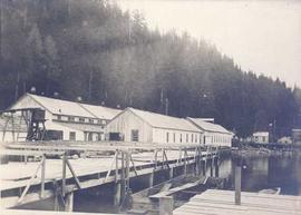
Photograph depicts a cannery on pilings over the water with other cannery buildings in the background.
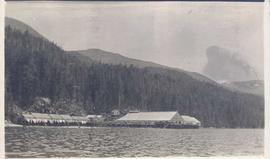
Photograph depicts cannery buildings on pilings with a body of water in the foreground and tree covered mountains in the background.
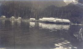
Photograph depicts several cannery buildings on pilings with water in the foreground and a forested area in the background.
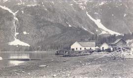
Photograph depicts a view of cannery buildings from the shoreline with mountains in the background.
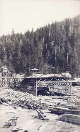
Photograph depicts a building under construction with wood planks on the dock in the foreground and a forested area in the background.
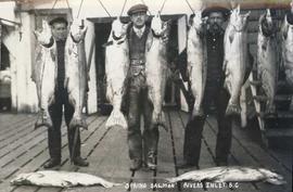
Photograph depicts three men standing behind salmon hung to dry on a wooden deck. Annotation on recto of photograph states: ""Spring Salmon" Rivers Inlet, B.C"
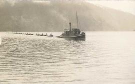
Photograph depicts a tug boat hauling a line of small fishing boats across the water with a mountain in the background. Annotation on verso of photograph states: "Tow of Cannery Fishing boats"


