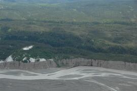
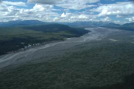
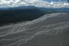
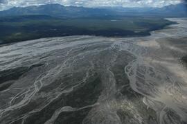
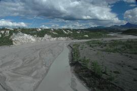
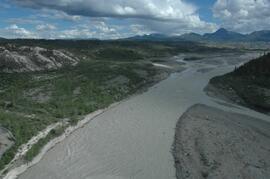
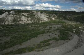
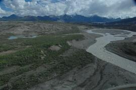
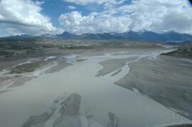
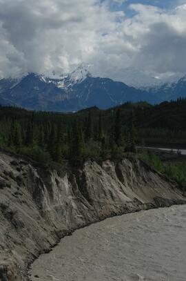
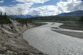
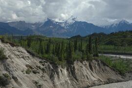
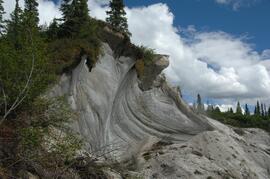
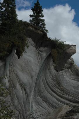
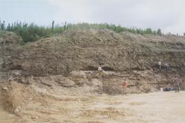
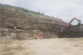
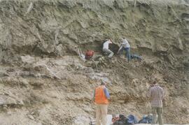
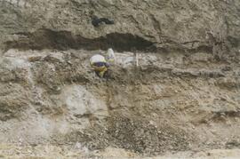
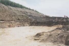
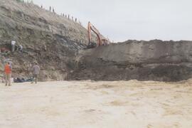
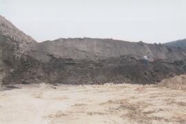
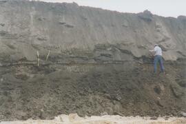
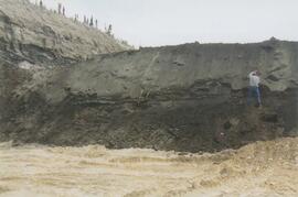
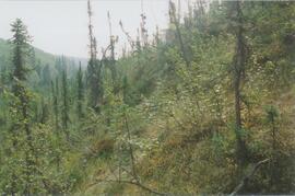
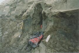
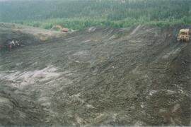
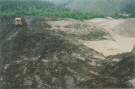
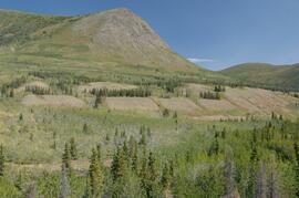
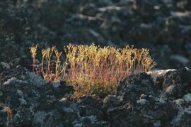
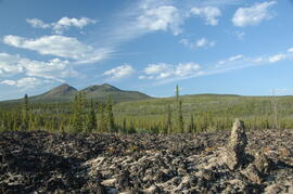
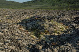
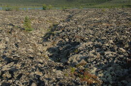
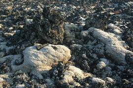
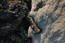
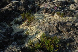
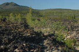
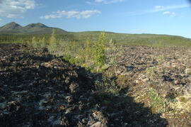
This image is part of the return trip sequence of aerial images obtained on the helicopter flight leaving the Klutlan Glacier study site. On the return leg at the end of the day, the flight initially went upvalley to pick up another party. This image was taken after the helicopter turned north to return to base camp.
This image is part of the return trip sequence of aerial images obtained on the helicopter flight leaving the Klutlan Glacier study site. On the return leg at the end of the day, the flight initially went upvalley to pick up another party. This image was taken after the helicopter turned north to return to base camp.
This image is part of the return trip sequence of aerial images obtained on the helicopter flight leaving the Klutlan Glacier study site. On the return leg at the end of the day, the flight initially went upvalley to pick up another party. This image was taken after the helicopter turned north to return to base camp.
This image is part of the return trip sequence of aerial images obtained on the helicopter flight leaving the Klutlan Glacier study site. On the return leg at the end of the day, the flight initially went upvalley to pick up another party. This image was taken after the helicopter turned north to return to base camp.
This image is part of the return trip sequence of aerial images obtained on the helicopter flight leaving the Klutlan Glacier study site. On the return leg at the end of the day, the flight initially went upvalley to pick up another party.
This image is part of the return trip sequence of aerial images obtained on the helicopter flight leaving the Klutlan Glacier study site. On the return leg at the end of the day, the flight initially went upvalley to pick up another party.
This image is part of the return trip sequence of aerial images obtained on the helicopter flight leaving the Klutlan Glacier study site. On the return leg at the end of the day, the flight initially went upvalley to pick up another party.
This image is part of the return trip sequence of aerial images obtained on the helicopter flight leaving the Klutlan Glacier study site. On the return leg at the end of the day, the flight initially went upvalley to pick up another party.
This image is part of the return trip sequence of aerial images obtained on the helicopter flight leaving the Klutlan Glacier study site. On the return leg at the end of the day, the flight initially went upvalley to pick up another party.
Data set consists of lab data for sites Y04-01 to Y04-04. Original data set created in 2004; an update was provided in March 2023 but horizon designations were not updated to be consistent with the paper.
A comparative study of grassland soils at 3 sites in northwestern BC and southern Yukon was published as:
Sanborn, P. 2010. Topographically controlled grassland soils in the Boreal Cordillera ecozone, northwestern Canada. Canadian Journal of Soil Science 90: 89-101. https://doi.org/10.4141/CJSS09048
This grew out of a field trip with Ministry of Forests range personnel to the Stikine and Tuya River valleys, near Telegraph Creek BC on August 27-28, 2007. (Two pedons were sampled in 2007, BC07-03 and BC07-04, but those results were not included in the paper.)
In August 2008, Dr. Paul Sanborn returned to the Stikine to sample pedon BC08-06, after field work in Yukon which collected the other two pedons used in the paper, from near Carmacks (Y08-39) and Kluane Lake (Y08-41). (An additional pedon from Kluane, Y08-43, was sampled and analyzed, but it was from a forested site and was not included in the paper.)
File contains the following data sets:
- BC & Yukon 2008 soils data – compiled.xls [combined chemical & physical data for BC08-06, Y08-39, Y08-41, Y08-43]
- S925finl.xls [chemical analysis data, Ministry of Forests & Range, Analytical Chemistry Laboratory for pedons BC07-03 & BC07-04; also includes data for Y07-06 & Y07-07 (Klutlan Glacier – see associated file note)]
- S979finl(revised) – PS edits.xls [chemical analysis data, Ministry of Forests & Range, Analytical Chemistry Laboratory for BC08-06, Y08-39, Y08-41, Y08-43]
- S994finl_revised.xls [chemical analysis data, Ministry of Forests & Range, Analytical Chemistry Laboratory for BC07-04 (CaCO3-equiv, total & inorganic C, pyrophosphate, oxalate & dithionite extractions) & selected horizons from BC07-07 & BC07-09 (Nazko basaltic soils))
- CANTEST lab report 91010076.pdf [particle size analyses for BC08-06, Y08-39, Y08-41, Y08-43]
- CANTEST lab report 90206003.pdf [particle size analyses for Tuya pedons BC07-03 & BC07-04 & Klutan Glacier pedons Y07-06 & Y07-07]
File consists of thin section micrograph images from the Boreal Cordilleran grassland soils study (2007 & 2008).
File consists of reports and documents relating to British Columbia grasslands.
Includes the following items:
B.A. Blackwell & Associates Ltd. 2007. Cariboo-Chilcotin ecosystem restoration plan: grassland benchmark.
Cariboo-Chilcotin Grasslands Strategy Working Group. 2001. Cariboo-Chilcotin grasslands strategy: forest encroachment onto grasslands and establishment of a grassland benchmark area. Prepared for Cariboo-Mid Coast Interagency Management Committee.
Grasslands Conservation Council of British Columbia. 2003. Changes in the grassland-forest interface: A BC grasslands conservation risk assessment communication tool.
Ross, T.J. 2008. Becher Prairie range unit ecosystem restoration strategic plan. Prepared for British Columbia Ministry of Forests and Range Central Cariboo Forest District.
